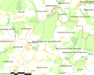
Ambiévillers (Ambiévillers)

- commune in Haute-Saône, France
- Country:

- Postal Code: 70210
- Coordinates: 47° 58' 32" N, 6° 9' 35" E


- GPS tracks (wikiloc): [Link]
- Area: 12.3 sq km
- Population: 78
- Wikipedia en: wiki(en)
- Wikipedia: wiki(fr)
- Wikidata storage: Wikidata: Q457690
- Wikipedia Commons Category: [Link]
- Freebase ID: [/m/03nt0b7]
- GeoNames ID: Alt: [6450776]
- SIREN number: [217000132]
- BnF ID: [15272407n]
- INSEE municipality code: 70013
Shares border with regions:


Montmotier
- commune in Vosges, France
- Country:
- Postal Code: 88240
- Coordinates: 47° 58' 24" N, 6° 10' 34" E
- GPS tracks (wikiloc): [Link]
- Area: 4.24 sq km
- Population: 48


Hennezel
- commune in Vosges, France
- Country:
- Postal Code: 88260
- Coordinates: 48° 3' 16" N, 6° 7' 3" E
- GPS tracks (wikiloc): [Link]
- Area: 32.13 sq km
- Population: 408
- Web site: [Link]


Pont-du-Bois
- commune in Haute-Saône, France
- Country:
- Postal Code: 70210
- Coordinates: 47° 58' 7" N, 6° 7' 33" E
- GPS tracks (wikiloc): [Link]
- Area: 8.15 sq km
- Population: 110


Gruey-lès-Surance
- commune in Vosges, France
- Country:
- Postal Code: 88240
- Coordinates: 48° 2' 16" N, 6° 11' 3" E
- GPS tracks (wikiloc): [Link]
- Area: 27.1 sq km
- Population: 254


Fontenoy-le-Château
- former commune in Vosges, France
- Country:
- Postal Code: 88240
- Coordinates: 47° 58' 25" N, 6° 11' 57" E
- GPS tracks (wikiloc): [Link]
- Area: 34.6 sq km
- Population: 586

Mailleroncourt-Saint-Pancras
- commune in Haute-Saône, France
- Country:
- Postal Code: 70210
- Coordinates: 47° 55' 4" N, 6° 7' 55" E
- GPS tracks (wikiloc): [Link]
- Area: 14.9 sq km
- Population: 189


Passavant-la-Rochère
- commune in Haute-Saône, France
- Country:
- Postal Code: 70210
- Coordinates: 47° 58' 7" N, 6° 2' 20" E
- GPS tracks (wikiloc): [Link]
- Area: 29.89 sq km
- Population: 616
- Web site: [Link]