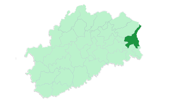
arrondissement of Lure (arrondissement de Lure)

- arrondissement of France
 Hiking in arrondissement of Lure
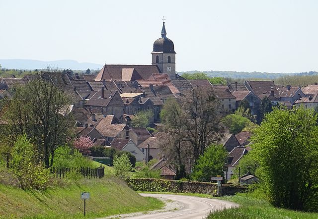
The Arrondissement of Lure, located in the Haute-Saône department within the Bourgogne-Franche-Comté region of France, offers a range of scenic hiking opportunities. The landscape is characterized by rolling hills, forests, and picturesque villages, making it an appealing destination for both novice and experienced hikers.
Popular Hiking Areas:
-
Ballon de Servance: This mountain is a notable destination for hikers and offers diverse trails that range in difficulty. The views from the summit are breathtaking, providing a panoramic look at the surrounding areas.
-
Les Vosges Mountains: While technically outside of the Arrondissement of Lure, the Vosges mountains are close by and offer extensive hiking routes, forests, and lakes that can be easily accessed for day trips.
-
The Doubs River: Trails near the Doubs River present beautiful views and allow hikers to enjoy the serene riverside environment. These paths are often lined with flora and provide a peaceful hiking experience.
-
Local Nature Reserves: The region is also home to several nature reserves that have designated walking trails. These locations often offer opportunities to observe local wildlife and unique plant species.
Hiking Tips:
-
Trail Maps: Before heading out, it's advisable to get a trail map or download hiking apps that cover the area. The local tourist office can often provide helpful information and resources.
-
Gear Up: Ensure you have the appropriate hiking gear, including sturdy boots, weather-appropriate clothing, and plenty of water.
-
Stay Safe: Some trails may be remote, so it's important to let someone know your itinerary and expected return time. A first aid kit is advisable, and ensuring your phone is charged can be crucial for emergencies.
-
Check the Weather: The weather can change rapidly in mountainous regions, so check forecasts and be prepared for varying conditions.
-
Respect Nature: Follow Leave No Trace principles, such as packing out what you pack in, to help preserve the natural beauty for future hikers.
Conclusion:
Hiking in the Arrondissement of Lure can be a rewarding experience with its stunning landscapes and rich natural heritage. Whether you’re interested in a short walk or an extended hike, the area has much to offer all year round. Enjoy exploring the trails!
- Country:

- Capital: Lure
- Coordinates: 47° 45' 0" N, 6° 30' 0" E


- GPS tracks (wikiloc): [Link]
- Area: 1848 sq km
- Population: 109726
- Wikipedia en: wiki(en)
- Wikipedia: wiki(fr)
- Wikidata storage: Wikidata: Q589467
- Freebase ID: [/m/095bs0]
- GeoNames ID: Alt: [2997075]
- INSEE arrondissement code: [701]
- GNS Unique Feature ID: -1448337
Includes regions:

canton of Héricourt-Est
- canton of France (until March 2015)
Hiking in canton of Héricourt-Est
Canton de Héricourt-Est is a region in the Haute-Saône department of France that's known for its beautiful natural landscapes, making it an excellent destination for hiking enthusiasts. Here are some highlights to consider while hiking in this area:...
- Country:
- Coordinates: 47° 34' 42" N, 6° 45' 44" E
- GPS tracks (wikiloc): [Link]

canton of Faucogney-et-la-Mer
- canton of France
- Country:
- Capital: Faucogney-et-la-Mer
- Coordinates: 47° 50' 34" N, 6° 33' 51" E
- GPS tracks (wikiloc): [Link]

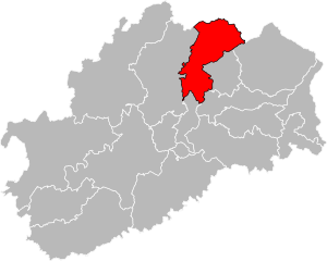
canton of Villersexel
- canton of France
Hiking in canton of Villersexel
The Canton of Villersexel, located in the Haute-Saône department of the Bourgogne-Franche-Comté region in eastern France, offers a variety of hiking opportunities that showcase its beautiful landscapes, historical sites, and rich natural heritage....
- Country:
- Capital: Villersexel
- Coordinates: 47° 33' 5" N, 6° 26' 2" E
- GPS tracks (wikiloc): [Link]
- Population: 11882

canton of Champagney
- canton of France
- Country:
- Capital: Champagney
- Coordinates: 47° 42' 23" N, 6° 40' 58" E
- GPS tracks (wikiloc): [Link]


canton of Mélisey
- canton of France
- Country:
- Capital: Mélisey
- Coordinates: 47° 45' 14" N, 6° 34' 51" E
- GPS tracks (wikiloc): [Link]
- Population: 11297
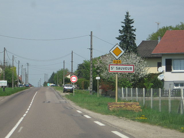
canton of Saint-Sauveur
- canton of France
- Country:
- Capital: Saint-Sauveur
- Coordinates: 47° 48' 16" N, 6° 23' 7" E
- GPS tracks (wikiloc): [Link]
- Area: 198.96 sq km
- Population: 9679
canton of Vauvillers
- canton of France
- Country:
- Capital: Vauvillers, Haute-Saône
- Coordinates: 47° 55' 24" N, 6° 5' 54" E
- GPS tracks (wikiloc): [Link]


canton of Luxeuil-les-Bains
- canton of France
- Country:
- Capital: Luxeuil-les-Bains
- Coordinates: 47° 49' 1" N, 6° 22' 53" E
- GPS tracks (wikiloc): [Link]
- Population: 14405

canton of Héricourt-Ouest
- canton of France (until March 2015)
Hiking in canton of Héricourt-Ouest
Canton de Héricourt-Ouest, located in the Haute-Saône department of France, offers various hiking opportunities that showcase its natural beauty, rolling hills, and picturesque landscapes. The region is not only renowned for its lush greenery but also for its charming villages and historical sites. Here are some highlights to consider when hiking in this area:...
- Country:
- Coordinates: 47° 34' 42" N, 6° 45' 44" E
- GPS tracks (wikiloc): [Link]

canton of Saulx
- canton of France (until March 2015)
- Country:
- Capital: Saulx, Haute-Saône
- Coordinates: 47° 41' 46" N, 6° 16' 47" E
- GPS tracks (wikiloc): [Link]

canton of Saint-Loup-sur-Semouse
- canton of France
- Country:
- Capital: Saint-Loup-sur-Semouse
- Coordinates: 47° 53' 8" N, 6° 16' 27" E
- GPS tracks (wikiloc): [Link]
- Population: 15639