Arques (Arques)

- commune in Aveyron, France
- Country:

- Postal Code: 12290
- Coordinates: 44° 19' 1" N, 2° 48' 2" E


- GPS tracks (wikiloc): [Link]
- Area: 11.29 sq km
- Population: 128
- Wikipedia en: wiki(en)
- Wikipedia: wiki(fr)
- Wikidata storage: Wikidata: Q990611
- Wikipedia Commons Category: [Link]
- Freebase ID: [/m/03m92n3]
- GeoNames ID: Alt: [6454954]
- SIREN number: [211200100]
- BnF ID: [15246986h]
- INSEE municipality code: 12010
Shares border with regions:

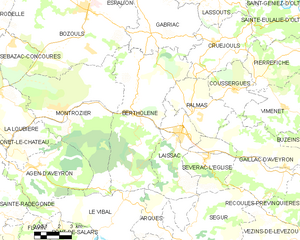
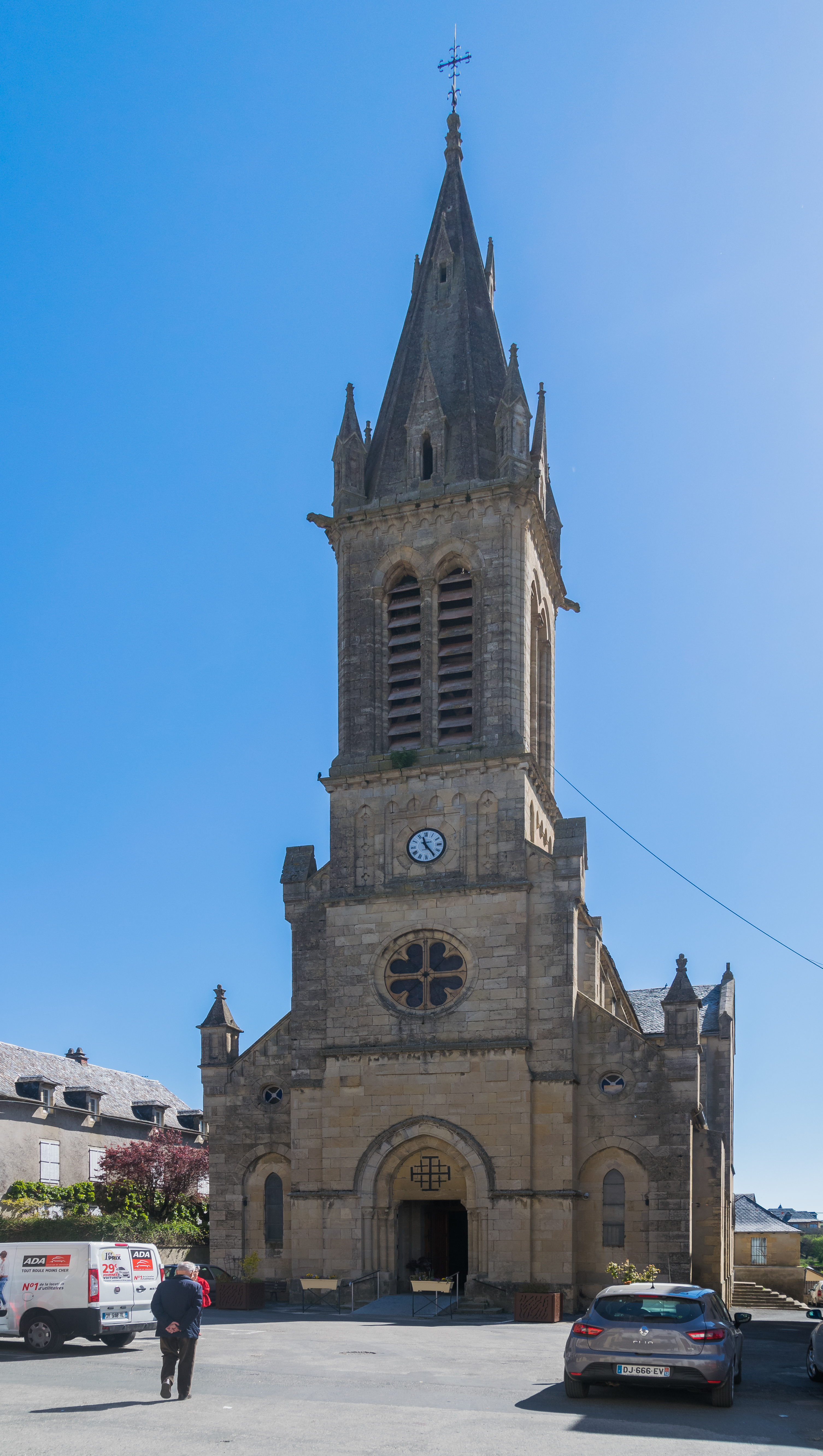
Bertholène
- commune in Aveyron, France
- Country:
- Postal Code: 12310
- Coordinates: 44° 23' 40" N, 2° 46' 43" E
- GPS tracks (wikiloc): [Link]
- Area: 46.96 sq km
- Population: 1029

Laissac
- former commune in Aveyron, France
- Country:
- Postal Code: 12310
- Coordinates: 44° 22' 52" N, 2° 49' 21" E
- GPS tracks (wikiloc): [Link]
- Area: 20.21 sq km
- Population: 1676


Ségur
- commune in Aveyron, France
- Country:
- Postal Code: 12290
- Coordinates: 44° 17' 33" N, 2° 50' 5" E
- GPS tracks (wikiloc): [Link]
- AboveSeaLevel: 716 м m
- Area: 67.05 sq km
- Population: 576


Le Vibal
- commune in Aveyron, France
- Country:
- Postal Code: 12290
- Coordinates: 44° 18' 54" N, 2° 45' 19" E
- GPS tracks (wikiloc): [Link]
- Area: 25.92 sq km
- Population: 507
- Web site: [Link]