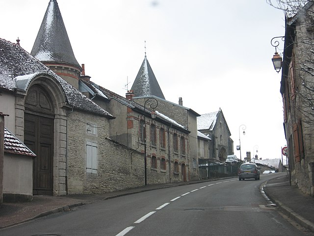
arrondissement of Langres (arrondissement de Langres)
- arrondissement of France
- Country:

- Capital: Langres
- Coordinates: 47° 50' 0" N, 5° 20' 0" E


- GPS tracks (wikiloc): [Link]
- Area: 2163 sq km
- Population: 44107
- Wikipedia en: wiki(en)
- Wikipedia: wiki(fr)
- Wikidata storage: Wikidata: Q701396
- Freebase ID: [/m/0954dq]
- GeoNames ID: Alt: [3007679]
- INSEE arrondissement code: [522]
- GNS Unique Feature ID: -1437711
Includes regions:

canton of Fayl-Billot
- canton of France
- Country:

- Capital: Fayl-Billot
- Coordinates: 47° 44' 32" N, 5° 35' 3" E


- GPS tracks (wikiloc): [Link]

canton of Laferté-sur-Amance
- canton of France
- Country:

- Capital: Laferté-sur-Amance
- Coordinates: 47° 50' 35" N, 5° 42' 2" E


- GPS tracks (wikiloc): [Link]


canton of Langres
- canton of France
- Country:

- Capital: Langres
- Coordinates: 47° 51' 48" N, 5° 20' 2" E


- GPS tracks (wikiloc): [Link]
- Population: 12083
canton of Neuilly-l'Évêque
- canton of France
- Country:

- Capital: Neuilly-l'Évêque
- Coordinates: 47° 54' 37" N, 5° 25' 7" E


- GPS tracks (wikiloc): [Link]

canton of Val-de-Meuse
- canton of France
- Country:

- Capital: Val-de-Meuse
- Coordinates: 47° 59' 56" N, 5° 29' 17" E


- GPS tracks (wikiloc): [Link]


canton of Bourbonne-les-Bains
- canton of France
- Country:

- Capital: Bourbonne-les-Bains
- Coordinates: 47° 57' 34" N, 5° 43' 57" E


- GPS tracks (wikiloc): [Link]
- Population: 9275

canton of Terre-Natale
- canton of France (until March 2015)
- Country:

- Capital: Varennes-sur-Amance
- Coordinates: 47° 53' 48" N, 5° 35' 46" E


- GPS tracks (wikiloc): [Link]

canton of Longeau-Percey
- canton of France (until March 2015)
- Country:

- Capital: Longeau-Percey
- Coordinates: 47° 46' 7" N, 5° 19' 8" E


- GPS tracks (wikiloc): [Link]


