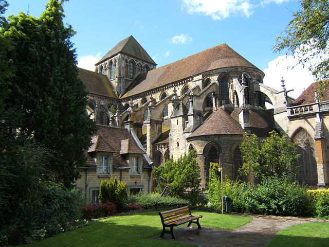
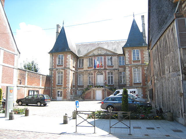
arrondissement of Lisieux (arrondissement de Lisieux)

- arrondissement of France
- Country:

- Capital: Lisieux
- Coordinates: 49° 10' 0" N, 0° 10' 0" E


- GPS tracks (wikiloc): [Link]
- Area: 1650 sq km
- Population: 163326
- Wikipedia en: wiki(en)
- Wikipedia: wiki(fr)
- Wikidata storage: Wikidata: Q701531
- Freebase ID: [/m/0955j0]
- GeoNames ID: Alt: [2998149]
- Library of Congress authority ID: Alt: [no2017002925]
- INSEE arrondissement code: [143]
- GNS Unique Feature ID: -1447258
Includes regions:


canton of Livarot
- canton of France
- Country:
- Capital: Livarot
- Coordinates: 48° 59' 47" N, 0° 10' 57" E
- GPS tracks (wikiloc): [Link]
- Population: 22795

canton of Blangy-le-Château
- canton of France (until March 2015)
- Country:
- Capital: Blangy-le-Château
- Coordinates: 49° 14' 20" N, 0° 15' 13" E
- GPS tracks (wikiloc): [Link]


canton of Mézidon-Canon
- canton of France
- Country:
- Capital: Mézidon-Canon
- Coordinates: 49° 5' 34" N, 0° 0' 27" E
- GPS tracks (wikiloc): [Link]
- Population: 24595

canton of Pont-l'Évêque
- canton of France
- Country:
- Capital: Pont-l'Évêque
- Coordinates: 49° 17' 39" N, 0° 9' 38" E
- GPS tracks (wikiloc): [Link]
- Population: 28955

canton of Saint-Pierre-sur-Dives
- canton of France
- Country:
- Capital: Saint-Pierre-sur-Dives
- Coordinates: 49° 0' 50" N, 0° 1' 10" E
- GPS tracks (wikiloc): [Link]

canton of Trouville-sur-Mer
- canton of France
- Country:
- Capital: Trouville-sur-Mer
- Coordinates: 49° 20' 54" N, 0° 4' 2" E
- GPS tracks (wikiloc): [Link]


