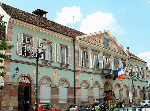
arrondissement of Molsheim (arrondissement de Molsheim)
- arrondissement of France
- Country:

- Capital: Molsheim
- Coordinates: 48° 30' 0" N, 7° 20' 0" E


- GPS tracks (wikiloc): [Link]
- Area: 745 sq km
- Population: 103448
- Wikipedia en: wiki(en)
- Wikipedia: wiki(fr)
- Wikidata storage: Wikidata: Q701724
- Freebase ID: [/m/0956t0]
- GeoNames ID: Alt: [2993475]
- Library of Congress authority ID: Alt: [n88609523]
- INSEE arrondissement code: [673]
Includes regions:


canton of Molsheim
- canton of France
- Country:

- Capital: Molsheim
- Coordinates: 48° 32' 40" N, 7° 26' 33" E


- GPS tracks (wikiloc): [Link]
- Population: 54967

canton of Wasselonne
- Country:

- Capital: Wasselonne
- Coordinates: 48° 36' 25" N, 7° 27' 16" E


- GPS tracks (wikiloc): [Link]


