canton of Wasselonne (canton de Wasselonne)
- Country:

- Capital: Wasselonne
- Coordinates: 48° 36' 25" N, 7° 27' 16" E


- GPS tracks (wikiloc): [Link]
- Wikidata storage: Wikidata: Q1398654
- INSEE canton code: [6733]
Includes regions:
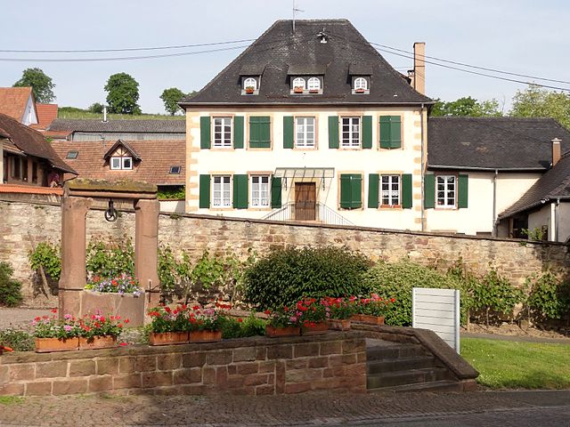

Dahlenheim
- commune in Bas-Rhin, France
- Country:

- Postal Code: 67310
- Coordinates: 48° 35' 8" N, 7° 30' 26" E


- GPS tracks (wikiloc): [Link]
- Area: 5.35 sq km
- Population: 763
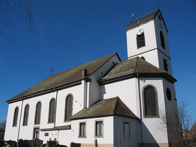

Kirchheim
- commune in Bas-Rhin, France
- Country:

- Postal Code: 67520
- Coordinates: 48° 36' 34" N, 7° 29' 45" E


- GPS tracks (wikiloc): [Link]
- Area: 2.3 sq km
- Population: 685


Odratzheim
- commune in Bas-Rhin, France
- Country:

- Postal Code: 67520
- Coordinates: 48° 36' 2" N, 7° 29' 19" E


- GPS tracks (wikiloc): [Link]
- Area: 1.54 sq km
- Population: 484


Traenheim
- commune in Bas-Rhin, France
- Country:

- Postal Code: 67310
- Coordinates: 48° 35' 43" N, 7° 27' 56" E


- GPS tracks (wikiloc): [Link]
- Area: 3.1 sq km
- Population: 649
- Web site: [Link]


Scharrachbergheim-Irmstett
- commune in Bas-Rhin, France
- Country:

- Postal Code: 67310
- Coordinates: 48° 35' 37" N, 7° 29' 38" E


- GPS tracks (wikiloc): [Link]
- Area: 3.22 sq km
- Population: 1192


Romanswiller
- commune in Bas-Rhin, France
- Country:

- Postal Code: 67310
- Coordinates: 48° 38' 43" N, 7° 24' 24" E


- GPS tracks (wikiloc): [Link]
- Area: 11.42 sq km
- Population: 1278
- Web site: [Link]

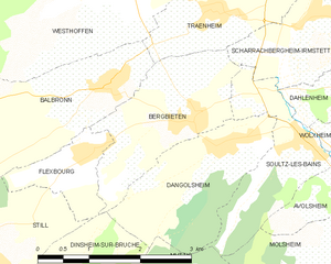
Bergbieten
- commune in Bas-Rhin, France
- Country:

- Postal Code: 67310
- Coordinates: 48° 34' 35" N, 7° 27' 30" E


- GPS tracks (wikiloc): [Link]
- Area: 4.24 sq km
- Population: 693

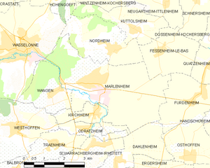
Marlenheim
- commune in Bas-Rhin, France
- Country:

- Postal Code: 67520
- Coordinates: 48° 37' 22" N, 7° 29' 35" E


- GPS tracks (wikiloc): [Link]
- Area: 14.59 sq km
- Population: 4217
- Web site: [Link]

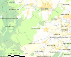
Westhoffen
- commune in Bas-Rhin, France
- Country:

- Postal Code: 67310
- Coordinates: 48° 36' 10" N, 7° 26' 28" E


- GPS tracks (wikiloc): [Link]
- Area: 20.65 sq km
- Population: 1676

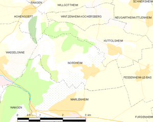
Nordheim
- commune in Bas-Rhin, France
- Country:

- Postal Code: 67520
- Coordinates: 48° 38' 8" N, 7° 30' 34" E


- GPS tracks (wikiloc): [Link]
- Area: 6.32 sq km
- Population: 852


Wangen
- commune in Bas-Rhin, France
- Country:

- Postal Code: 67520
- Coordinates: 48° 37' 3" N, 7° 27' 59" E


- GPS tracks (wikiloc): [Link]
- Area: 3.87 sq km
- Population: 712
- Web site: [Link]


Wasselonne
- commune in Bas-Rhin, France
- Country:

- Postal Code: 67310
- Coordinates: 48° 38' 14" N, 7° 26' 53" E


- GPS tracks (wikiloc): [Link]
- Area: 15 sq km
- Population: 5628


Wangenbourg-Engenthal
- commune in Bas-Rhin, France
- Country:

- Postal Code: 67710
- Coordinates: 48° 37' 33" N, 7° 18' 15" E


- GPS tracks (wikiloc): [Link]
- AboveSeaLevel: 420 м m
- Area: 31.52 sq km
- Population: 1369


Dangolsheim
- commune in Bas-Rhin, France
- Country:

- Postal Code: 67310
- Coordinates: 48° 34' 17" N, 7° 28' 2" E


- GPS tracks (wikiloc): [Link]
- Area: 4.47 sq km
- Population: 737
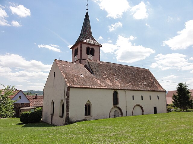
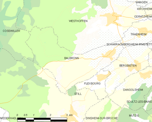
Balbronn
- commune in Bas-Rhin, France
- Country:

- Postal Code: 67310
- Coordinates: 48° 35' 2" N, 7° 26' 13" E


- GPS tracks (wikiloc): [Link]
- Area: 10.18 sq km
- Population: 649
Cosswiller
- commune in Bas-Rhin, France
- Country:

- Postal Code: 67310
- Coordinates: 48° 37' 51" N, 7° 23' 56" E


- GPS tracks (wikiloc): [Link]
- Area: 15.75 sq km
- Population: 563