arrondissement of Rennes (arrondissement de Rennes)

- arrondissement in the Ille-et-Vilaine department of France
- Country:

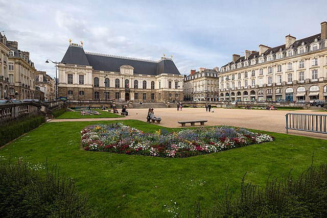
- Capital: Rennes
- Coordinates: 48° 10' 0" N, 1° 40' 0" E


- GPS tracks (wikiloc): [Link]
- Area: 2330 sq km
- Population: 593140
- Wikipedia en: wiki(en)
- Wikipedia: wiki(fr)
- Wikidata storage: Wikidata: Q702196
- Freebase ID: [/m/095fpk]
- GeoNames ID: Alt: [2983989]
- Library of Congress authority ID: Alt: [n50000743]
- INSEE arrondissement code: [353]
- GNS Unique Feature ID: -1461465
Includes regions:

canton of Saint-Aubin-d'Aubigné
- canton of France (until March 2015)
- Country:
- Capital: Saint-Aubin-d'Aubigné
- Coordinates: 48° 16' 51" N, 1° 37' 5" E
- GPS tracks (wikiloc): [Link]


canton of Montauban-de-Bretagne
- canton of France
- Country:
- Capital: Montauban-de-Bretagne
- Coordinates: 48° 12' 46" N, 2° 1' 45" E
- GPS tracks (wikiloc): [Link]
- Area: 417.64 sq km
- Population: 33696


canton of Liffré
- canton of France
- Country:
- Capital: Liffré
- Coordinates: 48° 12' 41" N, 1° 29' 9" E
- GPS tracks (wikiloc): [Link]
- Population: 34430


canton of Hédé
- canton of France
- Country:
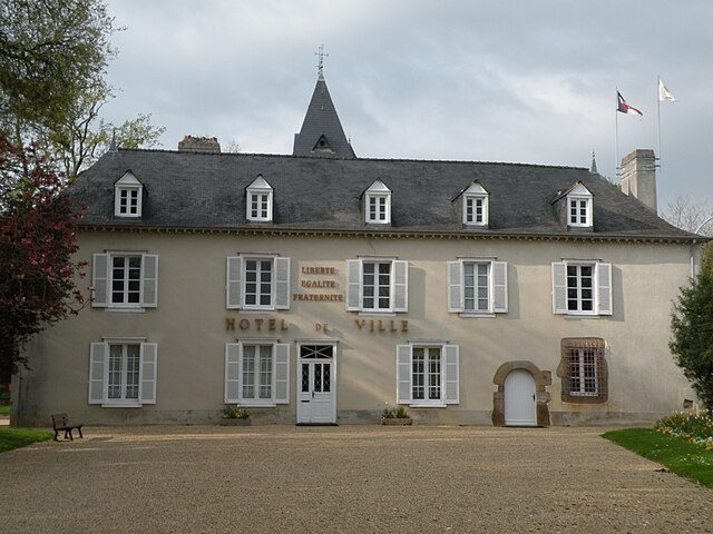
- Capital: Hédé-Bazouges
- Coordinates: 48° 18' 13" N, 1° 46' 27" E
- GPS tracks (wikiloc): [Link]


canton of Bruz
- canton of France
- Country:
- Capital: Bruz
- Coordinates: 48° 1' 8" N, 1° 40' 41" E
- GPS tracks (wikiloc): [Link]
- Area: 107.21 sq km
- Population: 41489

canton of Cesson-Sévigné
- canton of France
- Country:
- Capital: Cesson-Sévigné
- Coordinates: 48° 7' 39" N, 1° 34' 13" E
- GPS tracks (wikiloc): [Link]


canton of Châteaugiron
- canton of France
- Country:
- Capital: Châteaugiron
- Coordinates: 48° 3' 55" N, 1° 29' 46" E
- GPS tracks (wikiloc): [Link]
- Area: 240.25 sq km
- Population: 39838


canton of Montfort-sur-Meu
- canton of France
- Country:
- Capital: Montfort-sur-Meu
- Coordinates: 48° 8' 23" N, 1° 56' 32" E
- GPS tracks (wikiloc): [Link]
- Population: 37161

canton of Saint-Méen-le-Grand
- canton of France
- Country:
- Capital: Saint-Méen-le-Grand
- Coordinates: 48° 9' 32" N, 2° 8' 48" E
- GPS tracks (wikiloc): [Link]


canton of Janzé
- canton of France
- Country:
- Capital: Janzé
- Coordinates: 47° 58' 48" N, 1° 29' 14" E
- GPS tracks (wikiloc): [Link]
- Population: 37712


canton of Betton
- canton of France
- Country:
- Capital: Betton
- Coordinates: 48° 10' 7" N, 1° 41' 41" E
- GPS tracks (wikiloc): [Link]
- Population: 47884


canton of Plélan-le-Grand
- canton of France (until March 2015)
- Country:
- Capital: Plélan-le-Grand
- Coordinates: 48° 1' 51" N, 2° 1' 0" E
- GPS tracks (wikiloc): [Link]