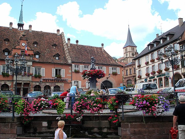
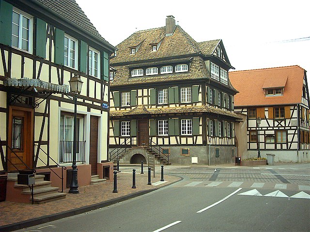
arrondissement of Sélestat-Erstein (arrondissement de Sélestat-Erstein)

- arrondissement of France
- Country:

- Capital: Sélestat
- Coordinates: 48° 20' 0" N, 7° 25' 0" E


- GPS tracks (wikiloc): [Link]
- Area: 981 sq km
- Population: 156219
- Wikipedia en: wiki(en)
- Wikipedia: wiki(fr)
- Wikidata storage: Wikidata: Q702573
- Freebase ID: [/m/0956v9]
- GeoNames ID: Alt: [2975232]
- INSEE arrondissement code: [675]
Includes regions:


canton of Sélestat
- canton of France
- Country:
- Capital: Sélestat
- Coordinates: 48° 16' 53" N, 7° 25' 22" E
- GPS tracks (wikiloc): [Link]
- Population: 55762

canton of Marckolsheim
- canton of France (until March 2015)
- Country:
- Capital: Marckolsheim
- Coordinates: 48° 13' 38" N, 7° 34' 11" E
- GPS tracks (wikiloc): [Link]

canton of Erstein
- canton of France
- Country:
- Capital: Erstein
- Coordinates: 48° 25' 16" N, 7° 39' 15" E
- GPS tracks (wikiloc): [Link]
- Population: 47763


canton of Obernai
- canton of France
- Country:
- Capital: Obernai
- Coordinates: 48° 26' 46" N, 7° 30' 54" E
- GPS tracks (wikiloc): [Link]
- Population: 40565