canton of Erstein (canton d'Erstein)
- canton of France
- Country:

- Capital: Erstein
- Coordinates: 48° 25' 16" N, 7° 39' 15" E


- GPS tracks (wikiloc): [Link]
- Population: 47763
- Wikipedia en: wiki(en)
- Wikipedia: wiki(fr)
- Wikidata storage: Wikidata: Q1398631
- Freebase ID: [/m/0b74nl0]
- INSEE canton code: [6704]
Includes regions:


Daubensand
- commune in Bas-Rhin, France
- Country:

- Postal Code: 67150
- Coordinates: 48° 20' 50" N, 7° 43' 18" E


- GPS tracks (wikiloc): [Link]
- AboveSeaLevel: 155.0 м m
- Area: 3.87 sq km
- Population: 378
- Web site: [Link]

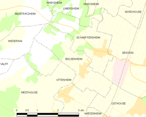
Bolsenheim
- commune in Bas-Rhin, France
- Country:

- Postal Code: 67150
- Coordinates: 48° 25' 9" N, 7° 36' 32" E


- GPS tracks (wikiloc): [Link]
- Area: 4.35 sq km
- Population: 500


Gerstheim
- commune in Bas-Rhin, France
- Country:

- Postal Code: 67150
- Coordinates: 48° 22' 56" N, 7° 42' 9" E


- GPS tracks (wikiloc): [Link]
- Area: 16.42 sq km
- Population: 3382

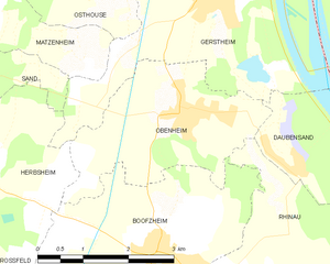
Obenheim
- commune in Bas-Rhin, France
- Country:

- Postal Code: 67230
- Coordinates: 48° 21' 37" N, 7° 41' 21" E


- GPS tracks (wikiloc): [Link]
- Area: 7.99 sq km
- Population: 1405


Hindisheim
- commune in Bas-Rhin, France
- Country:

- Postal Code: 67150
- Coordinates: 48° 28' 9" N, 7° 38' 20" E


- GPS tracks (wikiloc): [Link]
- Area: 11.84 sq km
- Population: 1425
- Web site: [Link]


Ichtratzheim
- commune in Bas-Rhin, France
- Country:

- Postal Code: 67640
- Coordinates: 48° 28' 37" N, 7° 40' 41" E


- GPS tracks (wikiloc): [Link]
- Area: 3.09 sq km
- Population: 288


Limersheim
- commune in Bas-Rhin, France
- Country:

- Postal Code: 67150
- Coordinates: 48° 27' 22" N, 7° 38' 39" E


- GPS tracks (wikiloc): [Link]
- Area: 5.58 sq km
- Population: 668


Hipsheim
- commune in Bas-Rhin, France
- Country:

- Postal Code: 67150
- Coordinates: 48° 27' 59" N, 7° 40' 34" E


- GPS tracks (wikiloc): [Link]
- Area: 4.52 sq km
- Population: 962

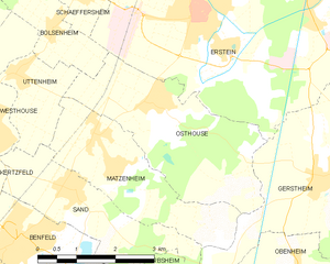
Osthouse
- commune in Bas-Rhin, France
- Country:

- Postal Code: 67150
- Coordinates: 48° 24' 9" N, 7° 38' 35" E


- GPS tracks (wikiloc): [Link]
- Area: 9.72 sq km
- Population: 922


Schaeffersheim
- commune in Bas-Rhin, France
- Country:

- Postal Code: 67150
- Coordinates: 48° 25' 42" N, 7° 37' 25" E


- GPS tracks (wikiloc): [Link]
- Area: 3.96 sq km
- Population: 857
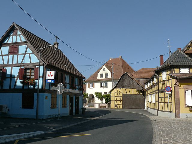

Westhouse
- commune in Bas-Rhin, France
- Country:

- Postal Code: 67230
- Coordinates: 48° 23' 49" N, 7° 35' 21" E


- GPS tracks (wikiloc): [Link]
- Area: 11.94 sq km
- Population: 1545
- Web site: [Link]
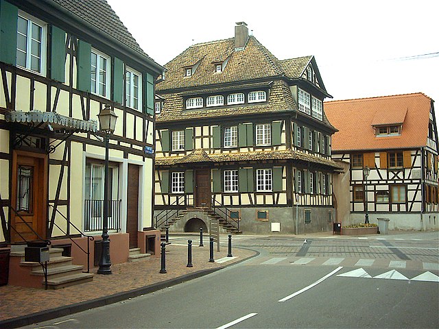

Erstein
- commune in Bas-Rhin, France
- Country:

- Postal Code: 67150
- Coordinates: 48° 25' 19" N, 7° 39' 40" E


- GPS tracks (wikiloc): [Link]
- Area: 36.22 sq km
- Population: 10969
- Web site: [Link]


Uttenheim
- commune in Bas-Rhin, France
- Country:

- Postal Code: 67150
- Coordinates: 48° 24' 40" N, 7° 35' 50" E


- GPS tracks (wikiloc): [Link]
- Area: 4.77 sq km
- Population: 555
