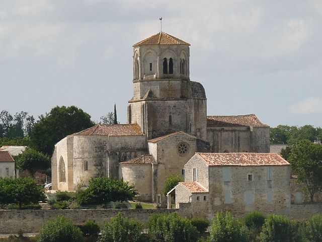
Saint-Porchaire (Saint-Porchaire)

- commune in Charente-Maritime, France
- Country:

- Postal Code: 17250
- Coordinates: 45° 49' 18" N, 0° 47' 7" E


- GPS tracks (wikiloc): [Link]
- Area: 17.4 sq km
- Population: 1849
- Web site: http://st-porchaire.fr
- Wikipedia en: wiki(en)
- Wikipedia: wiki(fr)
- Wikidata storage: Wikidata: Q783514
- Wikipedia Commons Category: [Link]
- Freebase ID: [/m/03mckgf]
- GeoNames ID: Alt: [6613763]
- SIREN number: [211703871]
- BnF ID: [15249248r]
- VIAF ID: Alt: [245077601]
- PACTOLS thesaurus ID: [pcrtGuJj9Llf0p]
- INSEE municipality code: 17387
Shares border with regions:


Les Essards
- commune in Charente-Maritime, France
- Country:
- Postal Code: 17250
- Coordinates: 45° 47' 31" N, 0° 45' 31" E
- GPS tracks (wikiloc): [Link]
- Area: 9.66 sq km
- Population: 710
- Web site: [Link]


Romegoux
- commune in Charente-Maritime, France
- Country:
- Postal Code: 17250
- Coordinates: 45° 52' 18" N, 0° 48' 23" E
- GPS tracks (wikiloc): [Link]
- Area: 13.25 sq km
- Population: 624
- Web site: [Link]
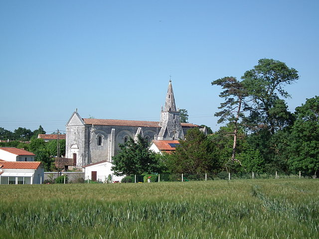
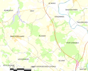
Plassay
- commune in Charente-Maritime, France
- Country:
- Postal Code: 17250
- Coordinates: 45° 49' 7" N, 0° 43' 31" E
- GPS tracks (wikiloc): [Link]
- Area: 16.87 sq km
- Population: 715


Geay
- commune in Charente-Maritime, France
- Country:
- Postal Code: 17250
- Coordinates: 45° 52' 18" N, 0° 45' 56" E
- GPS tracks (wikiloc): [Link]
- Area: 15.9 sq km
- Population: 734

Saint-Sulpice-d'Arnoult
- commune in Charente-Maritime, France
- Country:
- Postal Code: 17250
- Coordinates: 45° 48' 17" N, 0° 50' 55" E
- GPS tracks (wikiloc): [Link]
- Area: 16.12 sq km
- Population: 816