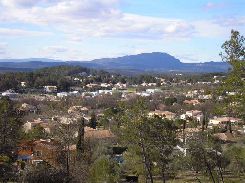
Assas (Assas)

- commune in Hérault, France
- Country:

- Postal Code: 34820
- Coordinates: 43° 42' 7" N, 3° 53' 57" E


- GPS tracks (wikiloc): [Link]
- Area: 19.11 sq km
- Population: 1499
- Web site: http://www.assas.fr
- Wikipedia en: wiki(en)
- Wikipedia: wiki(fr)
- Wikidata storage: Wikidata: Q682862
- Wikipedia Commons Gallery: [Link]
- Wikipedia Commons Category: [Link]
- Freebase ID: [/m/05jghg]
- Freebase ID: [/m/05jghg]
- GeoNames ID: Alt: [6448449]
- GeoNames ID: Alt: [6448449]
- SIREN number: [213400146]
- SIREN number: [213400146]
- BnF ID: [15256615c]
- BnF ID: [15256615c]
- MusicBrainz area ID: [283a184c-e9a0-4c7d-996f-a1fef26ed72e]
- MusicBrainz area ID: [283a184c-e9a0-4c7d-996f-a1fef26ed72e]
- INSEE municipality code: 34014
- INSEE municipality code: 34014
Shares border with regions:

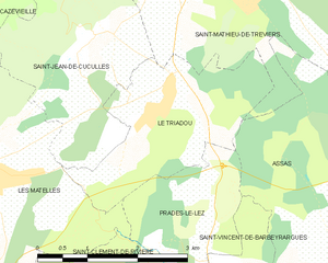
Le Triadou
- commune in Hérault, France
- Country:
- Postal Code: 34270
- Coordinates: 43° 44' 23" N, 3° 51' 7" E
- GPS tracks (wikiloc): [Link]
- Area: 6.3 sq km
- Population: 388
- Web site: [Link]

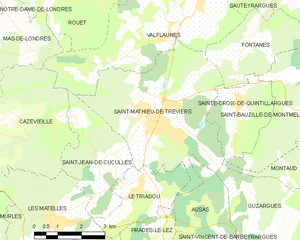
Saint-Mathieu-de-Tréviers
- commune in Hérault, France
- Country:
- Postal Code: 34270
- Coordinates: 43° 46' 11" N, 3° 52' 7" E
- GPS tracks (wikiloc): [Link]
- Area: 21.92 sq km
- Population: 4688
- Web site: [Link]


Saint-Vincent-de-Barbeyrargues
- commune in Hérault, France
- Country:
- Postal Code: 34730
- Coordinates: 43° 42' 22" N, 3° 52' 38" E
- GPS tracks (wikiloc): [Link]
- AboveSeaLevel: 125 м m
- Area: 2.24 sq km
- Population: 649

Prades-le-Lez
- commune in Hérault, France
- Country:
- Postal Code: 34730
- Coordinates: 43° 41' 56" N, 3° 51' 53" E
- GPS tracks (wikiloc): [Link]
- Area: 8.88 sq km
- Population: 5203
- Web site: [Link]


Guzargues
- commune in Hérault, France
- Country:
- Postal Code: 34820
- Coordinates: 43° 43' 21" N, 3° 55' 30" E
- GPS tracks (wikiloc): [Link]
- Area: 11.73 sq km
- Population: 521


Teyran
- commune in Hérault, France
- Country:
- Postal Code: 34820
- Coordinates: 43° 41' 3" N, 3° 55' 41" E
- GPS tracks (wikiloc): [Link]
- Area: 10.04 sq km
- Population: 4607


Clapiers
- commune in Hérault, France
- Country:
- Postal Code: 34830
- Coordinates: 43° 39' 27" N, 3° 53' 18" E
- GPS tracks (wikiloc): [Link]
- Area: 7.69 sq km
- Population: 5426
- Web site: [Link]