
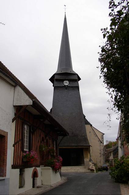
Aubigny-sur-Nère (Aubigny-sur-Nère)

- commune in Cher, France
- Country:

- Postal Code: 18700
- Coordinates: 47° 29' 19" N, 2° 26' 21" E


- GPS tracks (wikiloc): [Link]
- Area: 61.53 sq km
- Population: 5539
- Web site: http://www.aubigny.net
- Wikipedia en: wiki(en)
- Wikipedia: wiki(fr)
- Wikidata storage: Wikidata: Q426231
- Wikipedia Commons Category: [Link]
- Freebase ID: [/m/0ch5k2]
- GeoNames ID: Alt: [3036326]
- SIREN number: [211800156]
- BnF ID: [152493617]
- VIAF ID: Alt: [242714777]
- GND ID: Alt: [4354134-3]
- Library of Congress authority ID: Alt: [n88015329]
- EMLO location ID: [4d09c64b-194c-4589-ab74-62e5a10e1706]
- INSEE municipality code: 18015
Shares border with regions:


Sainte-Montaine
- commune in Cher, France
- Country:
- Postal Code: 18700
- Coordinates: 47° 29' 25" N, 2° 19' 12" E
- GPS tracks (wikiloc): [Link]
- Area: 53.79 sq km
- Population: 186


Oizon
- commune in Cher, France
- Country:
- Postal Code: 18700
- Coordinates: 47° 28' 27" N, 2° 30' 55" E
- GPS tracks (wikiloc): [Link]
- Area: 62.03 sq km
- Population: 687


Ennordres
- commune in Cher, France
- Country:
- Postal Code: 18380
- Coordinates: 47° 25' 48" N, 2° 23' 0" E
- GPS tracks (wikiloc): [Link]
- Area: 63.79 sq km
- Population: 208


Argent-sur-Sauldre
- commune in Cher, France
- Country:
- Postal Code: 18410
- Coordinates: 47° 33' 24" N, 2° 26' 35" E
- GPS tracks (wikiloc): [Link]
- Area: 67.35 sq km
- Population: 2142
- Web site: [Link]

Blancafort
- commune in Cher, France
- Country:
- Postal Code: 18410
- Coordinates: 47° 31' 57" N, 2° 31' 50" E
- GPS tracks (wikiloc): [Link]
- Area: 64.35 sq km
- Population: 1064