Aujan-Mournède (Aujan-Mournède)

- commune in Gers, France
- Country:

- Postal Code: 32300
- Coordinates: 43° 22' 54" N, 0° 30' 9" E


- GPS tracks (wikiloc): [Link]
- Area: 8.46 sq km
- Population: 90
- Wikipedia en: wiki(en)
- Wikipedia: wiki(fr)
- Wikidata storage: Wikidata: Q780903
- Wikipedia Commons Category: [Link]
- Freebase ID: [/m/03cfpr_]
- GeoNames ID: Alt: [6448313]
- SIREN number: [213200157]
- BnF ID: [15255602s]
- INSEE municipality code: 32015
Shares border with regions:
Viozan
- commune in Gers, France
- Country:
- Postal Code: 32300
- Coordinates: 43° 23' 36" N, 0° 28' 28" E
- GPS tracks (wikiloc): [Link]
- Area: 6.76 sq km
- Population: 106
- Web site: [Link]
Saint-Ost
- commune in Gers, France
- Country:
- Postal Code: 32300
- Coordinates: 43° 22' 41" N, 0° 28' 8" E
- GPS tracks (wikiloc): [Link]
- Area: 6.84 sq km
- Population: 80

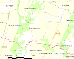
Monlaur-Bernet
- commune in Gers, France
- Country:
- Postal Code: 32140
- Coordinates: 43° 21' 6" N, 0° 30' 42" E
- GPS tracks (wikiloc): [Link]
- Area: 12.21 sq km
- Population: 160


Chélan
- commune in Gers, France
- Country:
- Postal Code: 32140
- Coordinates: 43° 20' 43" N, 0° 32' 54" E
- GPS tracks (wikiloc): [Link]
- Area: 13.49 sq km
- Population: 180

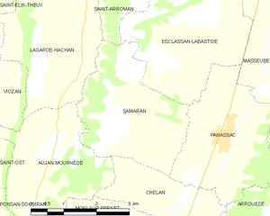
Samaran
- commune in Gers, France
- Country:
- Postal Code: 32140
- Coordinates: 43° 23' 29" N, 0° 31' 16" E
- GPS tracks (wikiloc): [Link]
- Area: 8.61 sq km
- Population: 88

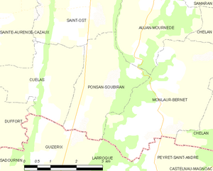
Ponsan-Soubiran
- commune in Gers, France
- Country:
- Postal Code: 32300
- Coordinates: 43° 21' 5" N, 0° 29' 3" E
- GPS tracks (wikiloc): [Link]
- Area: 6.87 sq km
- Population: 99


Lagarde-Hachan
- commune in Gers, France
- Country:
- Postal Code: 32300
- Coordinates: 43° 24' 23" N, 0° 29' 38" E
- GPS tracks (wikiloc): [Link]
- Area: 8.57 sq km
- Population: 163