
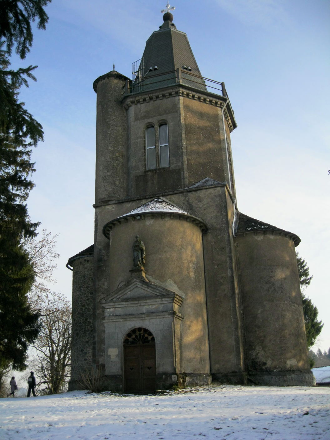
Autoire (Autoire)

- commune in Lot, France
- Country:

- Postal Code: 46400
- Coordinates: 44° 51' 16" N, 1° 49' 17" E


- GPS tracks (wikiloc): [Link]
- Area: 7.15 sq km
- Population: 356
- Web site: http://www.autoire.fr/
- Wikipedia en: wiki(en)
- Wikipedia: wiki(fr)
- Wikidata storage: Wikidata: Q624062
- Wikipedia Commons Category: [Link]
- Freebase ID: [/m/02z0smd]
- GeoNames ID: Alt: [6449191]
- SIREN number: [214600116]
- BnF ID: [15260752m]
- INSEE municipality code: 46011
Shares border with regions:


Prudhomat
- commune in Lot, France
- Country:
- Postal Code: 46130
- Coordinates: 44° 53' 56" N, 1° 48' 46" E
- GPS tracks (wikiloc): [Link]
- Area: 12.39 sq km
- Population: 723
- Web site: [Link]
Saint-Médard-de-Presque
- commune in Lot, France
- Country:
- Postal Code: 46400
- Coordinates: 44° 51' 48" N, 1° 50' 49" E
- GPS tracks (wikiloc): [Link]
- Area: 5.29 sq km
- Population: 198
Saint-Michel-Loubéjou
- commune in Lot, France
- Country:
- Postal Code: 46130
- Coordinates: 44° 53' 42" N, 1° 51' 1" E
- GPS tracks (wikiloc): [Link]
- Area: 5.25 sq km
- Population: 397


Loubressac
- commune in Lot, France
- Country:
- Postal Code: 46130
- Coordinates: 44° 52' 16" N, 1° 48' 11" E
- GPS tracks (wikiloc): [Link]
- Area: 23.75 sq km
- Population: 545
- Web site: [Link]
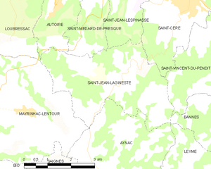
Saint-Jean-Lagineste
- commune in Lot, France
- Country:
- Postal Code: 46400
- Coordinates: 44° 49' 24" N, 1° 51' 39" E
- GPS tracks (wikiloc): [Link]
- AboveSeaLevel: 480 м m
- Area: 12.66 sq km
- Population: 318
- Web site: [Link]