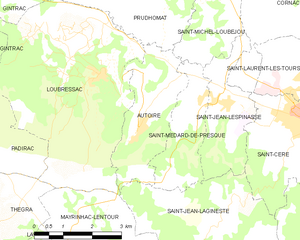
canton of Saint-Céré (canton de Saint-Céré)

- canton of France
- Country:

- Capital: Saint-Céré
- Coordinates: 44° 50' 45" N, 1° 52' 35" E


- GPS tracks (wikiloc): [Link]
- Population: 9637
- Wikipedia en: wiki(en)
- Wikipedia: wiki(fr)
- Wikidata storage: Wikidata: Q1404694
- INSEE canton code: [4616]
Includes regions:
Mayrinhac-Lentour
- commune in Lot, France
- Country:
- Postal Code: 46500
- Coordinates: 44° 48' 49" N, 1° 48' 26" E
- GPS tracks (wikiloc): [Link]
- Area: 15.57 sq km
- Population: 506
Saint-Médard-de-Presque
- commune in Lot, France
- Country:
- Postal Code: 46400
- Coordinates: 44° 51' 48" N, 1° 50' 49" E
- GPS tracks (wikiloc): [Link]
- Area: 5.29 sq km
- Population: 198


Saint-Paul-de-Vern
- commune in Lot, France
- Country:
- Postal Code: 46400
- Coordinates: 44° 50' 20" N, 1° 56' 14" E
- GPS tracks (wikiloc): [Link]
- Area: 10.84 sq km
- Population: 183
Saint-Vincent-du-Pendit
- commune in Lot, France
- Country:
- Postal Code: 46400
- Coordinates: 44° 50' 19" N, 1° 54' 7" E
- GPS tracks (wikiloc): [Link]
- Area: 9.24 sq km
- Population: 184

Latouille-Lentillac
- commune in Lot, France
- Country:
- Postal Code: 46400
- Coordinates: 44° 51' 14" N, 1° 57' 45" E
- GPS tracks (wikiloc): [Link]
- Area: 11.71 sq km
- Population: 230


Saignes
- commune in Lot, France
- Country:
- Postal Code: 46500
- Coordinates: 44° 47' 16" N, 1° 48' 59" E
- GPS tracks (wikiloc): [Link]
- Area: 3.55 sq km
- Population: 79
Frayssinhes
- commune in Lot, France
- Country:
- Postal Code: 46400
- Coordinates: 44° 52' 41" N, 1° 56' 21" E
- GPS tracks (wikiloc): [Link]
- Area: 12.15 sq km
- Population: 170
Bannes
- commune in Lot, France
- Country:
- Postal Code: 46400
- Coordinates: 44° 48' 38" N, 1° 54' 37" E
- GPS tracks (wikiloc): [Link]
- Area: 10.11 sq km
- Population: 121

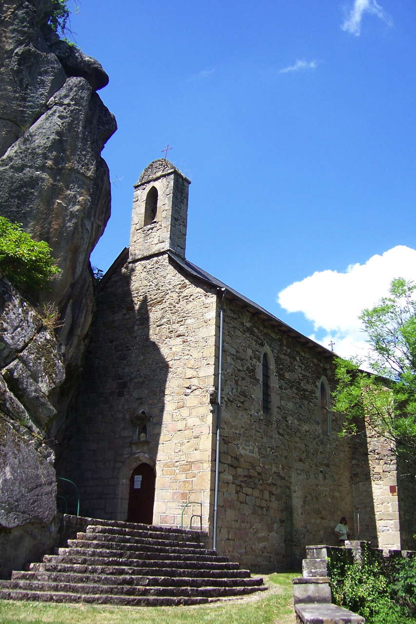
Autoire
- commune in Lot, France
- Country:
- Postal Code: 46400
- Coordinates: 44° 51' 16" N, 1° 49' 17" E
- GPS tracks (wikiloc): [Link]
- Area: 7.15 sq km
- Population: 356
- Web site: [Link]


Saint-Céré
- commune in Lot, France
- Country:
- Postal Code: 46400
- Coordinates: 44° 51' 33" N, 1° 53' 28" E
- GPS tracks (wikiloc): [Link]
- Area: 11.33 sq km
- Population: 3476
- Web site: [Link]


Loubressac
- commune in Lot, France
- Country:
- Postal Code: 46130
- Coordinates: 44° 52' 16" N, 1° 48' 11" E
- GPS tracks (wikiloc): [Link]
- Area: 23.75 sq km
- Population: 545
- Web site: [Link]


Saint-Jean-Lespinasse
- commune in Lot, France
- Country:
- Postal Code: 46400
- Coordinates: 44° 51' 46" N, 1° 51' 39" E
- GPS tracks (wikiloc): [Link]
- Area: 5.99 sq km
- Population: 391
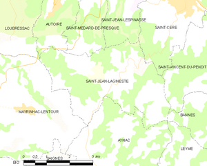
Saint-Jean-Lagineste
- commune in Lot, France
- Country:
- Postal Code: 46400
- Coordinates: 44° 49' 24" N, 1° 51' 39" E
- GPS tracks (wikiloc): [Link]
- AboveSeaLevel: 480 м m
- Area: 12.66 sq km
- Population: 318
- Web site: [Link]
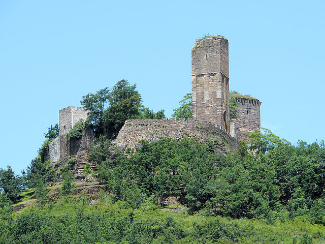

Saint-Laurent-les-Tours
- commune in Lot, France
- Country:
- Postal Code: 46400
- Coordinates: 44° 52' 7" N, 1° 53' 40" E
- GPS tracks (wikiloc): [Link]
- Area: 10.84 sq km
- Population: 912
- Web site: [Link]