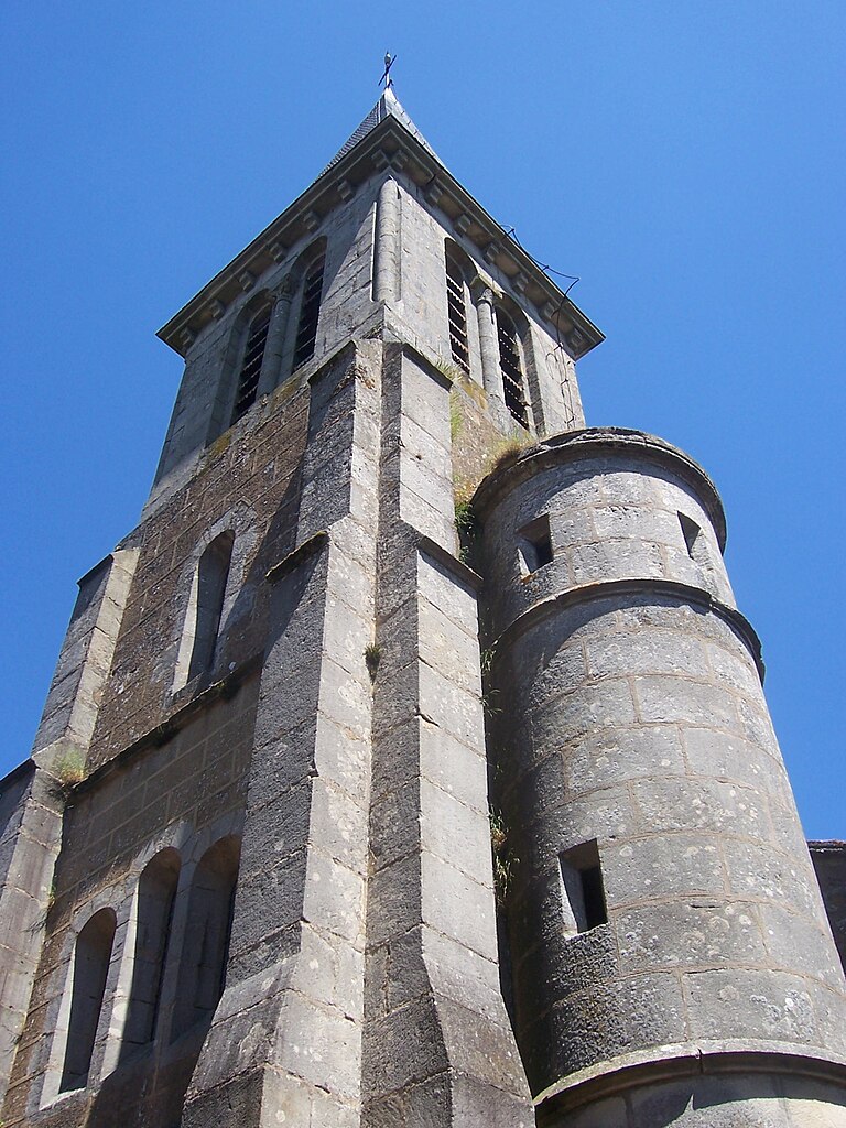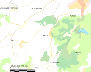
Autun (Autun)
- commune in Saône-et-Loire, France
- Country:

- Postal Code: 71400
- Coordinates: 46° 57' 4" N, 4° 17' 55" E


- GPS tracks (wikiloc): [Link]
- AboveSeaLevel: 642 м m
- Area: 61.52 sq km
- Population: 13635
- Web site: http://www.autun.com
- Wikipedia en: wiki(en)
- Wikipedia: wiki(fr)
- Wikidata storage: Wikidata: Q190827
- Wikipedia Commons Gallery: [Link]
- Wikipedia Commons Category: [Link]
- Wikipedia Commons Maps Category: [Link]
- Freebase ID: [/m/02htxt]
- Freebase ID: [/m/02htxt]
- GeoNames ID: Alt: [3035883]
- GeoNames ID: Alt: [3035883]
- SIREN number: [217100148]
- SIREN number: [217100148]
- BnF ID: [15272988v]
- BnF ID: [15272988v]
- VIAF ID: Alt: [124353899]
- VIAF ID: Alt: [124353899]
- GND ID: Alt: [4086147-8]
- GND ID: Alt: [4086147-8]
- archINFORM location ID: [5926]
- archINFORM location ID: [5926]
- Library of Congress authority ID: Alt: [n82037451]
- Library of Congress authority ID: Alt: [n82037451]
- Gran Enciclopèdia Catalana ID: [0006244]
- Gran Enciclopèdia Catalana ID: [0006244]
- Great Russian Encyclopedia Online ID: [2697479]
- Great Russian Encyclopedia Online ID: [2697479]
- data.gouv.fr org ID: [ville-dautun]
- data.gouv.fr org ID: [ville-dautun]
- INSEE municipality code: 71014
- INSEE municipality code: 71014
Shares border with regions:


Mesvres
- commune in Saône-et-Loire, France
- Country:

- Postal Code: 71190
- Coordinates: 46° 51' 45" N, 4° 14' 31" E


- GPS tracks (wikiloc): [Link]
- Area: 23.46 sq km
- Population: 764
- Web site: [Link]


Antully
- commune in Saône-et-Loire, France
- Country:

- Postal Code: 71400
- Coordinates: 46° 54' 13" N, 4° 24' 40" E


- GPS tracks (wikiloc): [Link]
- Area: 37.13 sq km
- Population: 837
- Web site: [Link]


Auxy
- commune in Saône-et-Loire, France
- Country:

- Postal Code: 71400
- Coordinates: 46° 56' 57" N, 4° 24' 8" E


- GPS tracks (wikiloc): [Link]
- Area: 36.98 sq km
- Population: 966


Broye
- commune in Saône-et-Loire, France
- Country:

- Postal Code: 71190
- Coordinates: 46° 52' 17" N, 4° 17' 24" E


- GPS tracks (wikiloc): [Link]
- Area: 28.39 sq km
- Population: 754
- Web site: [Link]


Curgy
- commune in Saône-et-Loire, France
- Country:

- Postal Code: 71400
- Coordinates: 46° 59' 5" N, 4° 23' 1" E


- GPS tracks (wikiloc): [Link]
- Area: 31.58 sq km
- Population: 1126
- Web site: [Link]


Dracy-Saint-Loup
- commune in Saône-et-Loire, France
- Country:

- Postal Code: 71400
- Coordinates: 47° 0' 54" N, 4° 20' 9" E


- GPS tracks (wikiloc): [Link]
- Area: 21.2 sq km
- Population: 579
- Web site: [Link]


Brion
- commune in Saône-et-Loire, France
- Country:

- Postal Code: 71190
- Coordinates: 46° 54' 33" N, 4° 13' 39" E


- GPS tracks (wikiloc): [Link]
- Area: 16.57 sq km
- Population: 306


Marmagne
- commune in Saône-et-Loire, France
- Country:

- Postal Code: 71710
- Coordinates: 46° 50' 15" N, 4° 21' 29" E


- GPS tracks (wikiloc): [Link]
- Area: 32.26 sq km
- Population: 1240


Monthelon
- commune in Saône-et-Loire, France
- Country:

- Postal Code: 71400
- Coordinates: 46° 57' 27" N, 4° 13' 29" E


- GPS tracks (wikiloc): [Link]
- Area: 24.57 sq km
- Population: 386


Saint-Forgeot
- commune in Saône-et-Loire, France
- Country:

- Postal Code: 71400
- Coordinates: 47° 0' 13" N, 4° 17' 59" E


- GPS tracks (wikiloc): [Link]
- Area: 15.96 sq km
- Population: 483
