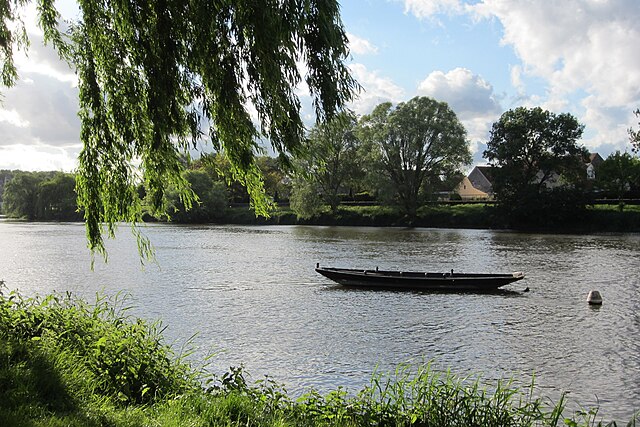
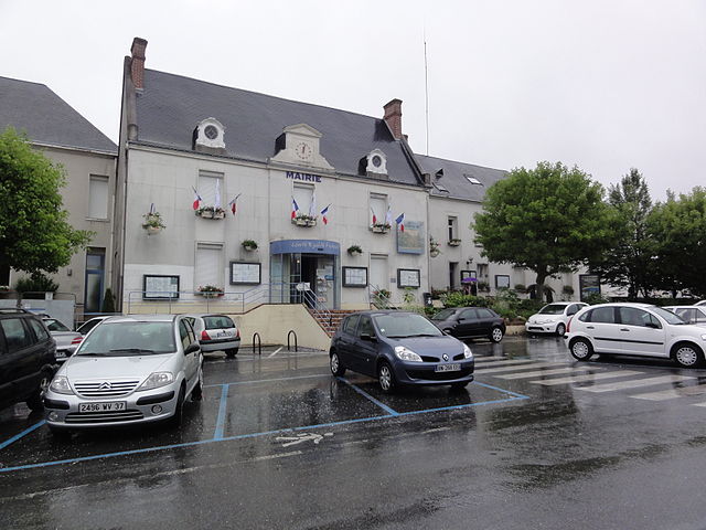
Azay-sur-Cher (Azay-sur-Cher)

- commune in Indre-et-Loire, France
- Country:

- Postal Code: 37270
- Coordinates: 47° 20' 57" N, 0° 50' 46" E


- GPS tracks (wikiloc): [Link]
- Area: 22.85 sq km
- Population: 3040
- Web site: http://www.mairie-azaysurcher.fr
- Wikipedia en: wiki(en)
- Wikipedia: wiki(fr)
- Wikidata storage: Wikidata: Q1069661
- Wikipedia Commons Category: [Link]
- Freebase ID: [/m/03nvcch]
- GeoNames ID: Alt: [6448638]
- SIREN number: [213700156]
- BnF ID: [15257567k]
- VIAF ID: Alt: [268640369]
- PACTOLS thesaurus ID: [pcrtebmqpRpxAe]
- MusicBrainz area ID: [653194b5-cedb-4d6a-9c9f-8cd35af19133]
- SUDOC authorities ID: [114615888]
- INSEE municipality code: 37015
Shares border with regions:


Esvres
- commune in Indre-et-Loire, France
- Country:
- Postal Code: 37320
- Coordinates: 47° 17' 4" N, 0° 47' 10" E
- GPS tracks (wikiloc): [Link]
- Area: 35.85 sq km
- Population: 5702
- Web site: [Link]


Athée-sur-Cher
- commune in Indre-et-Loire, France
- Country:
- Postal Code: 37270
- Coordinates: 47° 19' 15" N, 0° 54' 56" E
- GPS tracks (wikiloc): [Link]
- Area: 34.47 sq km
- Population: 2674
- Web site: [Link]


Truyes
- commune in Indre-et-Loire, France
- Country:
- Postal Code: 37320
- Coordinates: 47° 16' 22" N, 0° 51' 0" E
- GPS tracks (wikiloc): [Link]
- Area: 16.39 sq km
- Population: 2344
- Web site: [Link]

Véretz
- commune in Indre-et-Loire, France
- Country:
- Postal Code: 37270
- Coordinates: 47° 21' 35" N, 0° 48' 20" E
- GPS tracks (wikiloc): [Link]
- Area: 13.86 sq km
- Population: 4383
- Web site: [Link]


Saint-Martin-le-Beau
- commune in Indre-et-Loire, France
- Country:
- Postal Code: 37270
- Coordinates: 47° 21' 21" N, 0° 54' 35" E
- GPS tracks (wikiloc): [Link]
- Area: 18.44 sq km
- Population: 3165
- Web site: [Link]

Montlouis-sur-Loire
- commune in Indre-et-Loire, France
- Country:
- Postal Code: 37270
- Coordinates: 47° 23' 18" N, 0° 49' 38" E
- GPS tracks (wikiloc): [Link]
- Area: 24.55 sq km
- Population: 10609
- Web site: [Link]