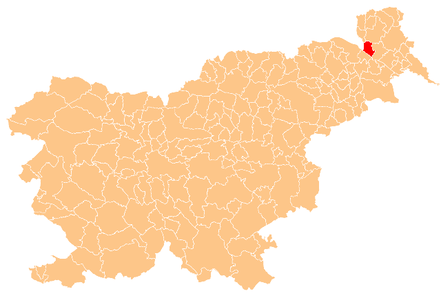
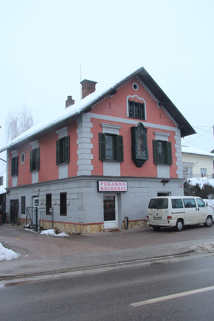
Bad Radkersburg (Bad Radkersburg)
- municipality in Austria
 Hiking in Bad Radkersburg
Bad Radkersburg, situated in the southeastern part of Austria near the border with Slovenia, is a charming town that offers a delightful experience for hikers and nature lovers. The region is known for its scenic landscapes, rich cultural heritage, and well-marked hiking trails that cater to various skill levels.
Hiking Trails
-
Mur Cycling and Hiking Path:
- This trail runs alongside the Mur River and is part of a larger network of paths that promote cycling and hiking. It offers scenic views of the river, fields, and forests, making it suitable for both leisurely walks and more energetic hikes.
-
Hiking in the Region:
- The surrounding area boasts a range of trails, including routes through vineyards, forested hills, and along the banks of the Mur River. Many trails allow you to explore the natural beauty and local flora and fauna.
-
The Jakobsweg (St. James Way):
- This is a pilgrimage route running through Bad Radkersburg, providing a unique blend of nature, spirituality, and history. It is well-marked and can be walked at a comfortable pace, making it accessible for most hikers.
-
Slovenian Border Trails:
- Since Bad Radkersburg is close to Slovenia, you can also explore trails that lead into its neighboring country. These trails often feature stunning panoramic views and diverse landscapes.
Best Times to Hike
- Spring (April to June): The weather is mild, and the local flora is in bloom, making it a picturesque time for hiking.
- Autumn (September to November): This season also offers stunning views with changing leaf colors and pleasant temperatures for outdoor activities.
Things to Consider
- Safety and Preparation: Always check weather conditions before heading out, and remember to bring adequate supplies, including water, snacks, and a map or GPS.
- Guided Tours: If you’re unfamiliar with the area, consider joining guided hikes, which can enhance your experience by providing local insights and ensuring your safety.
Additional Activities
In addition to hiking, Bad Radkersburg is known for its thermal springs and wellness facilities, making it an excellent location for relaxation after a day of hiking. You can also enjoy local cuisine and explore the town’s historical sites.
Overall, Bad Radkersburg offers a wonderful blend of hiking, culture, and relaxation, making it a fantastic choice for outdoor enthusiasts.
- Country:

- Postal Code: 8490
- Local Dialing Code: 03476
- Licence Plate Code: RA
- Coordinates: 46° 41' 23" N, 15° 59' 19" E


- GPS tracks (wikiloc): [Link]
- AboveSeaLevel: 209 м m
- Area: 2.17 sq km
- Population: 3156
- Web site: http://www.bad-radkersburg.gv.at/
- Wikipedia en: wiki(en)
- Wikipedia: wiki(de)
- Wikidata storage: Wikidata: Q698465
- Wikipedia Commons Category: [Link]
- Freebase ID: [/m/08c924]
- GeoNames ID: Alt: [2768119]
- VIAF ID: Alt: [173547480]
- GND ID: Alt: [4048230-3]
- archINFORM location ID: [1358]
- Library of Congress authority ID: Alt: [n85366485]
- MusicBrainz area ID: [252042c1-f08d-47bc-8d4f-699b1b12652a]
- WOEID: [12674887]
- Austrian municipality key: [62376]
Shares border with regions:

Tišina Municipality
- municipality of Slovenia
Hiking in Tišina Municipality
Občina Tišina is a municipality located in Slovenia, featured with beautiful landscapes that provide opportunities for hiking and outdoor activities. While the area itself is not as widely known for hiking compared to other regions in Slovenia, it does offer scenic views and a chance to explore the nature typical of this part of the country....
- Country:

- Postal Code: 9251
- Licence Plate Code: MS
- Coordinates: 46° 39' 38" N, 16° 4' 51" E
- GPS tracks (wikiloc): [Link]
- AboveSeaLevel: 196 м m
- Area: 38.8 sq km
- Web site: [Link]


Cankova Municipality
- municipality of Slovenia
Hiking in Cankova Municipality
Hiking in the Municipality of Cankova, located in Slovenia, offers a unique experience for outdoor enthusiasts. The region is characterized by its picturesque landscapes, including rolling hills, lush forests, and charming villages. Here are some key points about hiking in this area:...
- Country:
- Postal Code: 9261
- Licence Plate Code: MS
- Coordinates: 46° 43' 0" N, 16° 1' 0" E
- GPS tracks (wikiloc): [Link]
- AboveSeaLevel: 215 м m
- Area: 30.6 sq km


Municipality of Apače
- municipality of Slovenia
Hiking in Municipality of Apače
The Municipality of Apače, located in Slovenia, offers a variety of hiking opportunities in a beautiful natural environment. The area is characterized by rolling hills, vineyards, and picturesque landscapes that attract both novice and experienced hikers....
- Country:
- Licence Plate Code: MS
- Coordinates: 46° 41' 57" N, 15° 54' 31" E
- GPS tracks (wikiloc): [Link]
- Area: 53.5 sq km
- Web site: [Link]


Radenci Municipality
- municipality of Slovenia
Hiking in Radenci Municipality
The Municipality of Radenci, located in Slovenia, is known for its beautiful landscapes and a variety of outdoor activities, including hiking. The area features rolling hills, vineyards, and natural springs, making it an attractive destination for hikers who appreciate both scenic views and a peaceful environment....
- Country:
- Postal Code: 9252
- Licence Plate Code: MS
- Coordinates: 46° 37' 38" N, 16° 2' 54" E
- GPS tracks (wikiloc): [Link]
- AboveSeaLevel: 217 м m
- Area: 34.1 sq km
- Web site: [Link]

Gornja Radgona Municipality
- municipality of Slovenia
Hiking in Gornja Radgona Municipality
Gornja Radgona, located in northeastern Slovenia, is known for its picturesque landscapes and natural beauty, making it a great destination for hiking enthusiasts. The area offers various trails and outdoor activities suitable for different skill levels....
- Country:
- Postal Code: 9250
- Licence Plate Code: MS
- Coordinates: 46° 38' 6" N, 15° 57' 34" E
- GPS tracks (wikiloc): [Link]
- AboveSeaLevel: 251 м m
- Area: 75.0 sq km
Klöch
- municipality in Austria
Hiking in Klöch
Klöch, located in southeastern Styria, Austria, is a wonderful destination for hiking enthusiasts. Nestled in the picturesque landscape of the Styrian wine country, it offers a range of trails that showcase stunning vistas, lush vineyards, and rolling hills. Here are some highlights for hiking in Klöch:...
- Country:
- Postal Code: 8493
- Local Dialing Code: 03475
- Licence Plate Code: RA
- Coordinates: 46° 45' 53" N, 15° 57' 58" E
- GPS tracks (wikiloc): [Link]
- AboveSeaLevel: 290 м m
- Area: 16.39 sq km
- Population: 1192
- Web site: [Link]

Halbenrain
- municipality in Austria
Hiking in Halbenrain
Halbenrain is a small town located in the Styria region of Austria, known for its picturesque landscapes and welcoming atmosphere. Hiking in and around Halbenrain offers a variety of trails that cater to different skill levels, from gentle walks to more challenging hikes....
- Country:
- Postal Code: 8492
- Local Dialing Code: 03476
- Licence Plate Code: RA
- Coordinates: 46° 43' 19" N, 15° 56' 48" E
- GPS tracks (wikiloc): [Link]
- AboveSeaLevel: 223 м m
- Area: 38.66 sq km
- Population: 1747
- Web site: [Link]