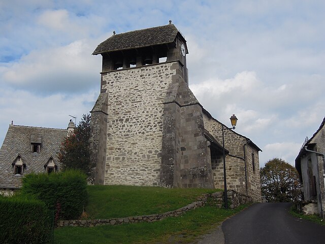
Badailhac (Badailhac)

- commune in Cantal, France
- Country:

- Postal Code: 15800
- Coordinates: 44° 55' 9" N, 2° 37' 29" E


- GPS tracks (wikiloc): [Link]
- Area: 12.48 sq km
- Population: 132
- Wikipedia en: wiki(en)
- Wikipedia: wiki(fr)
- Wikidata storage: Wikidata: Q549644
- Wikipedia Commons Category: [Link]
- Freebase ID: [/m/03mb6pz]
- GeoNames ID: Alt: [6447242]
- SIREN number: [211500178]
- BnF ID: [15248188g]
- INSEE municipality code: 15017
Shares border with regions:


Raulhac
- commune in Cantal, France
- Country:
- Postal Code: 15800
- Coordinates: 44° 53' 58" N, 2° 39' 22" E
- GPS tracks (wikiloc): [Link]
- Area: 16.98 sq km
- Population: 282


Jou-sous-Monjou
- commune in Cantal, France
- Country:
- Postal Code: 15800
- Coordinates: 44° 56' 16" N, 2° 39' 53" E
- GPS tracks (wikiloc): [Link]
- Area: 6.16 sq km
- Population: 110
Saint-Étienne-de-Carlat
- commune in Cantal, France
- Country:
- Postal Code: 15130
- Coordinates: 44° 54' 17" N, 2° 34' 28" E
- GPS tracks (wikiloc): [Link]
- Area: 10.62 sq km
- Population: 140


Vic-sur-Cère
- commune in Cantal, France
- Country:
- Postal Code: 15800
- Coordinates: 44° 58' 48" N, 2° 37' 30" E
- GPS tracks (wikiloc): [Link]
- Area: 29.37 sq km
- Population: 1874


Carlat
- commune in Cantal, France
- Country:
- Postal Code: 15130
- Coordinates: 44° 53' 21" N, 2° 34' 0" E
- GPS tracks (wikiloc): [Link]
- AboveSeaLevel: 906 м m
- Area: 20.88 sq km
- Population: 353

Cros-de-Ronesque
- commune in Cantal, France
- Country:
- Postal Code: 15130
- Coordinates: 44° 52' 20" N, 2° 36' 38" E
- GPS tracks (wikiloc): [Link]
- Area: 16.23 sq km
- Population: 141


Polminhac
- commune in Cantal, France
- Country:
- Postal Code: 15800
- Coordinates: 44° 57' 6" N, 2° 34' 39" E
- GPS tracks (wikiloc): [Link]
- Area: 29.03 sq km
- Population: 1138
- Web site: [Link]