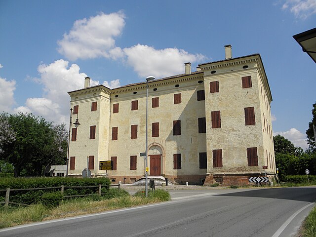
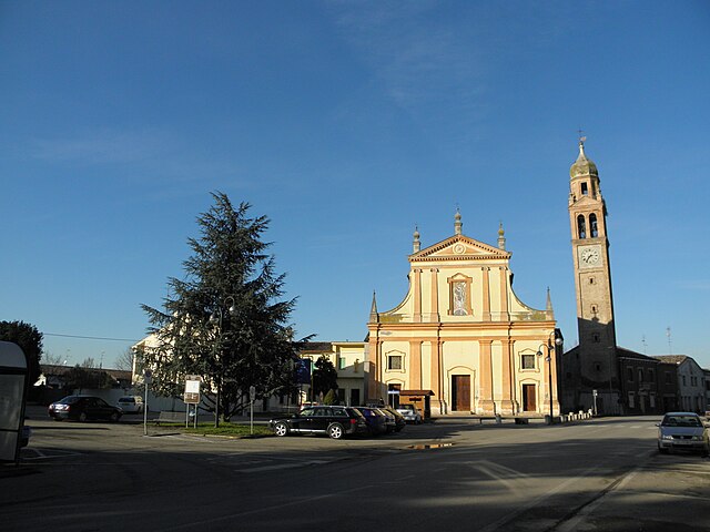
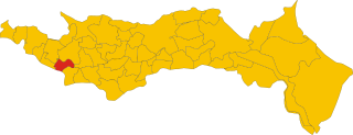
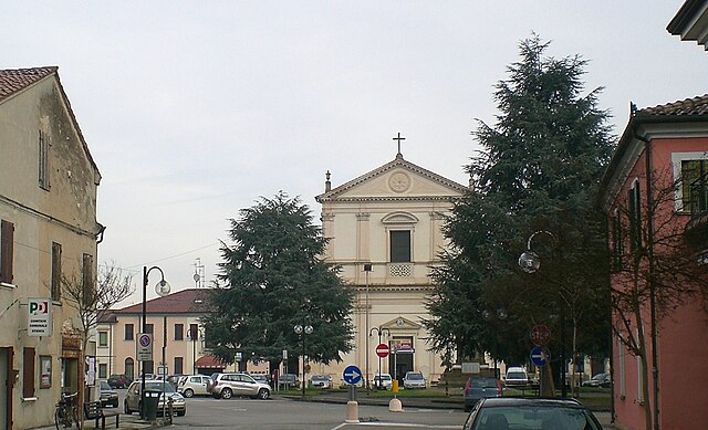
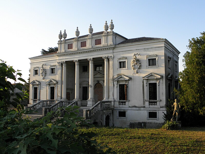
Bagnolo di Po (Bagnolo di Po)
.svg)
- Italian comune
 Hiking in Bagnolo di Po
Bagnolo di Po is a small municipality located in the province of Mantua, in the Lombardy region of northern Italy. While it may not be widely known as a hiking destination like some of Italy's larger national parks or mountains, the surrounding area offers lovely opportunities for outdoor enthusiasts. Here's some information that could enhance your hiking experience in and around Bagnolo di Po:
Scenic Routes
-
Countryside Trails: The area is characterized by its flat and gently rolling countryside, which makes it perfect for leisurely hikes. You can explore rural paths that pass through charming villages, fields, and scenic landscapes.
-
Po River Trails: Being relatively close to the Po River, you can find trails that follow the riverbanks. These paths provide opportunities to observe local wildlife, including various bird species, especially near wetlands.
Nature Reserves
Nearby nature reserves or parks may offer well-marked hiking trails and excellent opportunities for birdwatching and enjoying local flora and fauna.
- Parco Regionale del Delta del Po: While a bit further from Bagnolo di Po, the Delta Park offers beautiful hiking and biking trails along the river. It’s known for its biodiversity and unique ecosystems.
Tips for Hiking in Bagnolo di Po
- Weather: The climate can be quite variable, so check the weather before you head out. Spring and autumn are ideal for hiking due to pleasant temperatures.
- Footwear: Wear sturdy hiking shoes, especially if you plan on exploring less maintained paths.
- Hydration and Snacks: Always carry enough water and some snacks, especially on longer hikes.
- Respect the Environment: Follow the principles of Leave No Trace to help preserve the natural beauty of the area.
Local Attractions
While hiking, you may also want to check out local attractions such as farms, historical sites, and small eateries where you can enjoy regional cuisine.
Conclusion
While Bagnolo di Po may not be a prominent hiking destination, it offers serene landscapes and peaceful countryside trails that can be quite enjoyable for those looking to escape into nature. Be sure to explore the local culture along the way, as it adds to the richness of your hiking experience!
- Country:

- Postal Code: 45022
- Local Dialing Code: 0425
- Licence Plate Code: RO
- Coordinates: 45° 1' 0" N, 11° 30' 0" E


- GPS tracks (wikiloc): [Link]
- AboveSeaLevel: 7 м m
- Area: 21.36 sq km
- Population: 1225
- Web site: http://www.comune.bagnolodipo.ro.it/
- Wikipedia en: wiki(en)
- Wikipedia: wiki(it)
- Wikidata storage: Wikidata: Q34547
- Wikipedia Commons Category: [Link]
- Freebase ID: [/m/04b8fc]
- GeoNames ID: Alt: [6543576]
- VIAF ID: Alt: [238622240]
- OSM relation ID: [43918]
- ISTAT ID: 029005
- Italian cadastre code: A574
Shares border with regions:

Trecenta
- Italian comune
Hiking in Trecenta
Trecenta is a small municipality located in the province of Rovigo in the Veneto region of Italy. While it may not be a well-known hiking destination compared to the more mountainous regions of Italy, there are still opportunities for enjoying nature and walking in the area. Here are some points to consider if you're thinking about hiking around Trecenta:...
- Country:
- Postal Code: 45027
- Local Dialing Code: 0425
- Licence Plate Code: RO
- Coordinates: 45° 2' 0" N, 11° 27' 0" E
- GPS tracks (wikiloc): [Link]
- AboveSeaLevel: 11 м m
- Area: 35.08 sq km
- Population: 2711
- Web site: [Link]
Salara
- Italian comune
Hiking in Salara
Salara might not be as widely known as some other hiking destinations, but it offers a unique experience for those seeking tranquility and natural beauty. Located in Italy's Veneto region, near the Po River, Salara is characterized by its picturesque landscapes, rustic charm, and the serene ambiance of the surrounding countryside....
- Country:
- Postal Code: 45030
- Local Dialing Code: 0425
- Licence Plate Code: RO
- Coordinates: 44° 59' 9" N, 11° 25' 36" E
- GPS tracks (wikiloc): [Link]
- AboveSeaLevel: 7 м m
- Area: 14.16 sq km
- Population: 1148
- Web site: [Link]


Gaiba
- comune of Italy
Hiking in Gaiba
Gaiba is a small town located in the Province of Rovigo in the Veneto region of Italy. While it may not be as famous for hiking as some other areas in Italy, it still offers beautiful landscapes and trails for those looking for a quieter hiking experience....
- Country:
- Postal Code: 45030
- Local Dialing Code: 0425
- Licence Plate Code: RO
- Coordinates: 44° 57' 0" N, 11° 29' 0" E
- GPS tracks (wikiloc): [Link]
- AboveSeaLevel: 9 м m
- Area: 11.99 sq km
- Population: 1037
- Web site: [Link]


Ficarolo
- Italian comune
Hiking in Ficarolo
Ficarolo is a small municipality in Italy, located in the province of Mantua, Lombardy. While it may not be as widely known as some of Italy’s larger national parks or mountainous regions, it can offer a unique hiking experience, especially for those interested in exploring the countryside and local landscapes....
- Country:
- Postal Code: 45036
- Local Dialing Code: 0425
- Licence Plate Code: RO
- Coordinates: 44° 57' 0" N, 11° 26' 0" E
- GPS tracks (wikiloc): [Link]
- AboveSeaLevel: 10 м m
- Area: 18.08 sq km
- Population: 2407
- Web site: [Link]

Stienta
- Italian comune
Hiking in Stienta
Stienta, a small town in the province of Ferrara in Italy, may not be widely recognized as a hiking destination, but the surrounding region offers a unique experience for outdoor enthusiasts. Here are some aspects to consider when hiking in and around Stienta:...
- Country:
- Postal Code: 45039
- Local Dialing Code: 0425
- Licence Plate Code: RO
- Coordinates: 44° 56' 0" N, 11° 33' 0" E
- GPS tracks (wikiloc): [Link]
- AboveSeaLevel: 9 м m
- Area: 24.02 sq km
- Population: 3239
- Web site: [Link]

Canda
- Italian comune
Hiking in Canda
Canada is a hiker's paradise, offering a diverse range of landscapes, trails, and ecosystems across its vast expanse. Whether you’re looking for leisurely day hikes or challenging multi-day backpacking adventures, here are some key highlights and regions for hiking in Canada:...
- Country:
- Postal Code: 45020
- Local Dialing Code: 0425
- Licence Plate Code: RO
- Coordinates: 45° 2' 0" N, 11° 31' 0" E
- GPS tracks (wikiloc): [Link]
- AboveSeaLevel: 9 м m
- Area: 14.37 sq km
- Population: 895
- Web site: [Link]


Castelguglielmo
- Italian comune
Hiking in Castelguglielmo
Castelguglielmo is a small village in the province of Rovigo, in the Veneto region of Italy. While it may not be the most famous hiking destination compared to other Italian regions, its surroundings offer a unique experience for nature lovers and hikers....
- Country:
- Postal Code: 45020
- Local Dialing Code: 0425
- Licence Plate Code: RO
- Coordinates: 45° 1' 0" N, 11° 32' 0" E
- GPS tracks (wikiloc): [Link]
- AboveSeaLevel: 9 м m
- Area: 22.13 sq km
- Population: 1565
- Web site: [Link]