Bannalec (Bannalec)

- commune in Finistère, France
- Country:

- Postal Code: 29380
- Coordinates: 47° 55' 57" N, 3° 41' 49" E


- GPS tracks (wikiloc): [Link]
- Area: 77.51 sq km
- Population: 5634
- Web site: http://www.bannalec.fr
- Wikipedia en: wiki(en)
- Wikipedia: wiki(fr)
- Wikidata storage: Wikidata: Q318227
- Wikipedia Commons Gallery: [Link]
- Wikipedia Commons Category: [Link]
- Freebase ID: [/m/03gvw80]
- Freebase ID: [/m/03gvw80]
- Freebase ID: [/m/03gvw80]
- GeoNames ID: Alt: [3035139]
- GeoNames ID: Alt: [3035139]
- GeoNames ID: Alt: [3035139]
- SIREN number: [212900047]
- SIREN number: [212900047]
- SIREN number: [212900047]
- BnF ID: [15254360w]
- BnF ID: [15254360w]
- BnF ID: [15254360w]
- VIAF ID: Alt: [123292538]
- VIAF ID: Alt: [123292538]
- VIAF ID: Alt: [123292538]
- Library of Congress authority ID: Alt: [n91115866]
- Library of Congress authority ID: Alt: [n91115866]
- Library of Congress authority ID: Alt: [n91115866]
- WOEID: [578018]
- WOEID: [578018]
- WOEID: [578018]
- INSEE municipality code: 29004
- INSEE municipality code: 29004
- INSEE municipality code: 29004
Shares border with regions:


Saint-Thurien
- commune in Finistère, France
- Country:
- Postal Code: 29380
- Coordinates: 47° 57' 33" N, 3° 37' 25" E
- GPS tracks (wikiloc): [Link]
- Area: 21.41 sq km
- Population: 1027


Pont-Aven
- commune in Finistère, France
- Country:
- Postal Code: 29930
- Coordinates: 47° 51' 0" N, 3° 45' 0" E
- GPS tracks (wikiloc): [Link]
- AboveSeaLevel: 34 м m
- Area: 28.63 sq km
- Population: 2823
- Web site: [Link]


Scaër
- commune in Finistère, France
- Country:
- Postal Code: 29390
- Coordinates: 48° 2' 0" N, 3° 42' 0" E
- GPS tracks (wikiloc): [Link]
- Area: 117.58 sq km
- Population: 5402
- Web site: [Link]
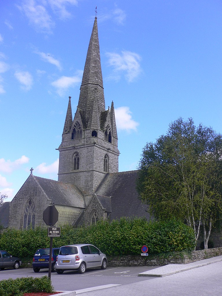
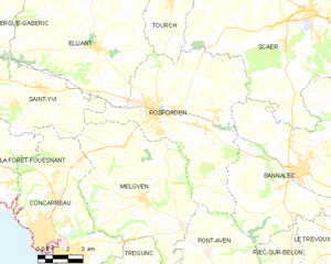
Rosporden
- commune in Finistère, France
- Country:
- Postal Code: 29140
- Coordinates: 47° 57' 38" N, 3° 50' 5" E
- GPS tracks (wikiloc): [Link]
- Area: 57.37 sq km
- Population: 7608
- Web site: [Link]


Mellac
- commune in Finistère, France
- Country:
- Postal Code: 29300
- Coordinates: 47° 54' 14" N, 3° 34' 41" E
- GPS tracks (wikiloc): [Link]
- Area: 26.38 sq km
- Population: 2970
- Web site: [Link]

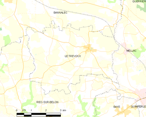
Le Trévoux
- commune in Finistère, France
- Country:
- Postal Code: 29380
- Coordinates: 47° 53' 40" N, 3° 38' 29" E
- GPS tracks (wikiloc): [Link]
- Area: 20.83 sq km
- Population: 1609
- Web site: [Link]

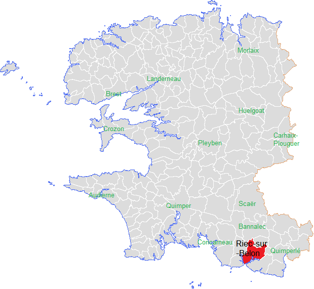
Riec-sur-Bélon
- commune in Finistère, France
- Country:
- Postal Code: 29340
- Coordinates: 47° 50' 38" N, 3° 41' 40" E
- GPS tracks (wikiloc): [Link]
- Area: 54.64 sq km
- Population: 4165
- Web site: [Link]