Bazoches-sur-Guyonne (Bazoches-sur-Guyonne)

- commune in Yvelines, France
- Country:

- Postal Code: 78490
- Coordinates: 48° 46' 42" N, 1° 51' 37" E


- GPS tracks (wikiloc): [Link]
- Area: 5.66 sq km
- Population: 586
- Web site: http://www.bazoches-sur-guyonne.fr
- Wikipedia en: wiki(en)
- Wikipedia: wiki(fr)
- Wikidata storage: Wikidata: Q83447
- Wikipedia Commons Category: [Link]
- Freebase ID: [/m/03qf_nr]
- Freebase ID: [/m/03qf_nr]
- GeoNames ID: Alt: [6451205]
- GeoNames ID: Alt: [6451205]
- SIREN number: [217800507]
- SIREN number: [217800507]
- BnF ID: [152758916]
- BnF ID: [152758916]
- VIAF ID: Alt: [137488910]
- VIAF ID: Alt: [137488910]
- archINFORM location ID: [550]
- archINFORM location ID: [550]
- MusicBrainz area ID: [f1b2ebd9-6566-4f6b-b174-64b6ccbd91b5]
- MusicBrainz area ID: [f1b2ebd9-6566-4f6b-b174-64b6ccbd91b5]
- INSEE municipality code: 78050
- INSEE municipality code: 78050
Shares border with regions:

Montfort-l'Amaury
- commune in Yvelines, France
- Country:
- Postal Code: 78490
- Coordinates: 48° 46' 38" N, 1° 48' 33" E
- GPS tracks (wikiloc): [Link]
- Area: 5.71 sq km
- Population: 2953
- Web site: [Link]


Mareil-le-Guyon
- commune in Yvelines, France
- Country:
- Postal Code: 78490
- Coordinates: 48° 47' 23" N, 1° 50' 50" E
- GPS tracks (wikiloc): [Link]
- Area: 4 sq km
- Population: 364
- Web site: [Link]

Méré
- commune in Yvelines, France
- Country:
- Postal Code: 78490
- Coordinates: 48° 47' 10" N, 1° 49' 2" E
- GPS tracks (wikiloc): [Link]
- Area: 10.31 sq km
- Population: 1680
- Web site: [Link]


Les Mesnuls
- commune in Yvelines, France
- Country:
- Postal Code: 78490
- Coordinates: 48° 45' 23" N, 1° 50' 17" E
- GPS tracks (wikiloc): [Link]
- Area: 6.49 sq km
- Population: 866
- Web site: [Link]


Neauphle-le-Vieux
- commune in Yvelines, France
- Country:
- Postal Code: 78640
- Coordinates: 48° 48' 57" N, 1° 51' 47" E
- GPS tracks (wikiloc): [Link]
- Area: 7.52 sq km
- Population: 974
- Web site: [Link]

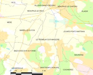
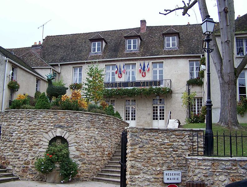
Le Tremblay-sur-Mauldre
- commune in Yvelines, France
- Country:
- Postal Code: 78490
- Coordinates: 48° 46' 39" N, 1° 52' 42" E
- GPS tracks (wikiloc): [Link]
- Area: 6.03 sq km
- Population: 928
- Web site: [Link]

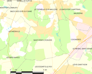
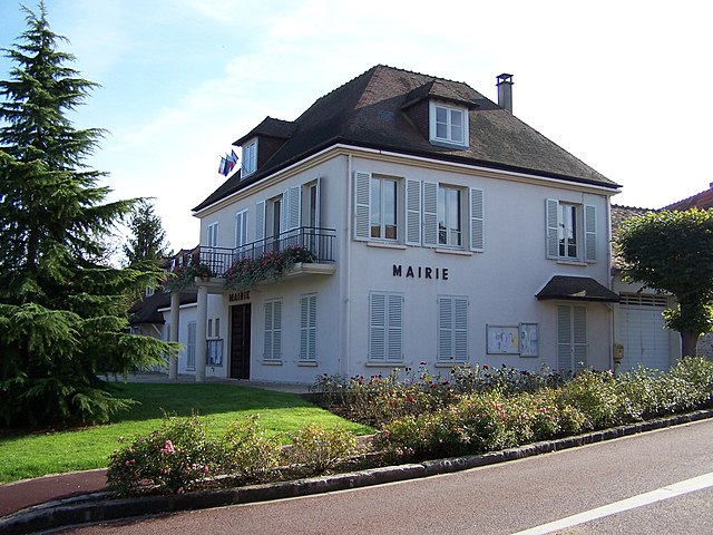
Saint-Rémy-l'Honoré
- commune in Yvelines, France
- Country:
- Postal Code: 78690
- Coordinates: 48° 45' 23" N, 1° 52' 51" E
- GPS tracks (wikiloc): [Link]
- Area: 10.15 sq km
- Population: 1497
- Web site: [Link]