Bellaffaire (Bellaffaire)
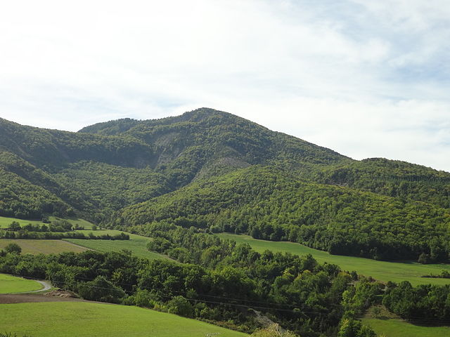
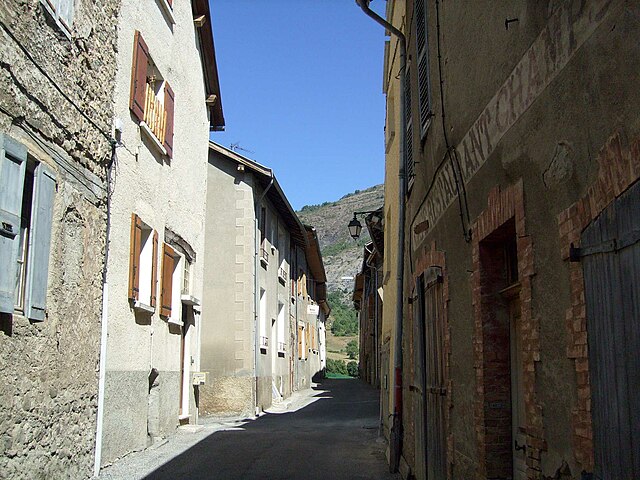
- commune in Alpes-de-Haute-Provence, France
It seems there may be a misunderstanding regarding the location "Bellaffaire." There isn't a widely recognized hiking area or national park by that name that I am aware of as of my last training cut-off in October 2023. It's possible that it could be a lesser-known local area, a private property, or perhaps a misspelling of a nearby location.
If you're looking for hiking opportunities, I can provide insights on popular hiking destinations or trails in a specific area if you can clarify the location you're interested in. Alternatively, if "Bellaffaire" is a local term or a new development, I suggest checking local hiking forums or visitor centers for the latest information on trails, maps, and conditions. Let me know how else I can assist you!
- Country:

- Postal Code: 04250
- Coordinates: 44° 25' 10" N, 6° 10' 36" E


- GPS tracks (wikiloc): [Link]
- Area: 13.12 sq km
- Population: 149
- Web site: http://www.bellaffaire.fr
- Wikipedia en: wiki(en)
- Wikipedia: wiki(fr)
- Wikidata storage: Wikidata: Q867033
- Wikipedia Commons Category: [Link]
- Freebase ID: [/m/03m7w1w]
- Freebase ID: [/m/03m7w1w]
- GeoNames ID: Alt: [3033761]
- GeoNames ID: Alt: [3033761]
- SIREN number: [210400263]
- SIREN number: [210400263]
- INSEE municipality code: 04026
- INSEE municipality code: 04026
Shares border with regions:

Saint-Martin-lès-Seyne
- commune in Alpes-de-Haute-Provence, France
 Hiking in Saint-Martin-lès-Seyne
Saint-Martin-lès-Seyne is a charming village located in the Alpes-de-Haute-Provence region of France. The area surrounding the village offers a range of hiking opportunities, characterized by its stunning natural landscapes including mountains, forests, and rivers....
- Country:

- Postal Code: 04140
- Coordinates: 44° 23' 8" N, 6° 15' 24" E


- GPS tracks (wikiloc): [Link]
- Area: 12.27 sq km
- Population: 13

Rochebrune
- commune in Hautes-Alpes, France
Rochebrune is a beautiful area located in the Hautes-Alpes region of southeastern France, known for its stunning alpine scenery, diverse trails, and opportunities for outdoor activities. Here’s an overview of what you can expect when hiking in Rochebrune:...
- Country:

- Postal Code: 05190
- Coordinates: 44° 27' 22" N, 6° 10' 37" E


- GPS tracks (wikiloc): [Link]
- Area: 12.37 sq km
- Population: 170

Turriers
- commune in Alpes-de-Haute-Provence, France
Turriers is a small village located in the Alpes-de-Haute-Provence department in southeastern France. The region offers beautiful landscapes, with opportunities for hiking through picturesque trails that showcase the natural beauty of the area, including mountains, forests, and valleys....
- Country:

- Postal Code: 04250
- Coordinates: 44° 24' 5" N, 6° 10' 8" E


- GPS tracks (wikiloc): [Link]
- Area: 19.86 sq km
- Population: 325

Gigors
- commune in Alpes-de-Haute-Provence, France
Gigors is a charming village located in the Provence-Alpes-Côte d'Azur region of France, near the picturesque Vercors Massif. While it may not be as widely known as some larger hiking destinations, it offers a range of scenic trails and beautiful landscapes that make it an appealing spot for hiking enthusiasts....
- Country:

- Postal Code: 04250
- Coordinates: 44° 25' 9" N, 6° 9' 34" E


- GPS tracks (wikiloc): [Link]
- Area: 13.69 sq km
- Population: 58

Bayons
- commune in Alpes-de-Haute-Provence, France
Bayons is a picturesque village located in the Hautes-Alpes region of southeastern France, known for its stunning natural landscapes and hiking opportunities. Here are some highlights about hiking in and around Bayons:...
- Country:

- Postal Code: 04250
- Coordinates: 44° 20' 20" N, 6° 9' 49" E


- GPS tracks (wikiloc): [Link]
- Area: 125.75 sq km
- Population: 183

Bréziers
- commune in Hautes-Alpes, France
Bréziers is a charming town in the Occitanie region of southern France. While it is not as widely known for hiking as some other areas in France, it is surrounded by beautiful landscapes that can offer some great hiking opportunities....
- Country:

- Postal Code: 05190
- Coordinates: 44° 25' 35" N, 6° 11' 58" E


- GPS tracks (wikiloc): [Link]
- Area: 30.35 sq km
- Population: 210