Belvès-de-Castillon (Belvès-de-Castillon)

- commune in Gironde, France
- Country:

- Postal Code: 33350
- Coordinates: 44° 52' 42" N, 0° 1' 52" E


- GPS tracks (wikiloc): [Link]
- Area: 6.61 sq km
- Population: 337
- Web site: http://www.belvesdecastillon.fr
- Wikipedia en: wiki(en)
- Wikipedia: wiki(fr)
- Wikidata storage: Wikidata: Q199331
- Wikipedia Commons Category: [Link]
- Freebase ID: [/m/03nrx3b]
- GeoNames ID: Alt: [6448407]
- SIREN number: [213300452]
- BnF ID: [15256099k]
- INSEE municipality code: 33045
Shares border with regions:


Gardegan-et-Tourtirac
- commune in Gironde, France
- Country:
- Postal Code: 33350
- Coordinates: 44° 54' 1" N, 0° 1' 18" E
- GPS tracks (wikiloc): [Link]
- Area: 9.58 sq km
- Population: 288

Saint-Michel-de-Montaigne
- commune in Dordogne, France
- Country:
- Postal Code: 24230
- Coordinates: 44° 52' 27" N, 0° 1' 48" E
- GPS tracks (wikiloc): [Link]
- Area: 9.1 sq km
- Population: 345
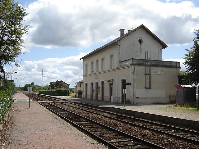
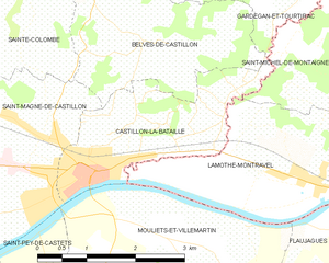
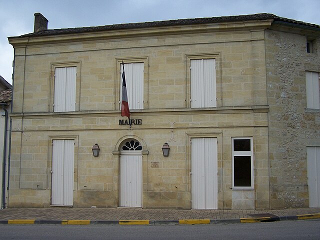
Castillon-la-Bataille
- commune in Gironde, France
- Country:
- Postal Code: 33350
- Coordinates: 44° 51' 12" N, 0° 2' 40" E
- GPS tracks (wikiloc): [Link]
- Area: 5.68 sq km
- Population: 3070


Sainte-Colombe
- commune in Gironde, France
- Country:
- Postal Code: 33350
- Coordinates: 44° 52' 44" N, 0° 3' 43" E
- GPS tracks (wikiloc): [Link]
- AboveSeaLevel: 88 м m
- Area: 4.06 sq km
- Population: 421


Saint-Magne-de-Castillon
- commune in Gironde, France
- Country:
- Postal Code: 33350
- Coordinates: 44° 51' 51" N, 0° 3' 54" E
- GPS tracks (wikiloc): [Link]
- Area: 13.87 sq km
- Population: 2003