Bessuéjouls (Bessuéjouls)

- commune in Aveyron, France
- Country:

- Postal Code: 12500
- Coordinates: 44° 31' 35" N, 2° 43' 43" E


- GPS tracks (wikiloc): [Link]
- Area: 11.29 sq km
- Population: 229
- Wikipedia en: wiki(en)
- Wikipedia: wiki(fr)
- Wikidata storage: Wikidata: Q473965
- Wikipedia Commons Category: [Link]
- Freebase ID: [/m/03m92xc]
- GeoNames ID: Alt: [6447054]
- SIREN number: [211200274]
- BnF ID: [15247003r]
- PACTOLS thesaurus ID: [pcrt0MYlJFpNn9]
- INSEE municipality code: 12027
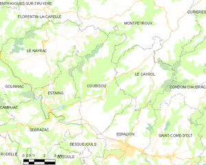
Shares border with regions:

Coubisou
- commune in Aveyron, France
- Country:
- Postal Code: 12190
- Coordinates: 44° 33' 11" N, 2° 43' 54" E
- GPS tracks (wikiloc): [Link]
- Area: 30.95 sq km
- Population: 489
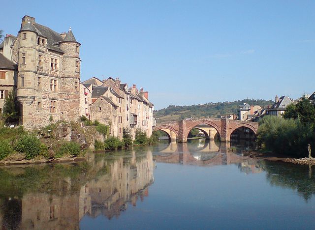

Espalion
- commune in Aveyron, France
- Country:
- Postal Code: 12500
- Coordinates: 44° 31' 21" N, 2° 45' 47" E
- GPS tracks (wikiloc): [Link]
- Area: 36.6 sq km
- Population: 4545
- Web site: [Link]
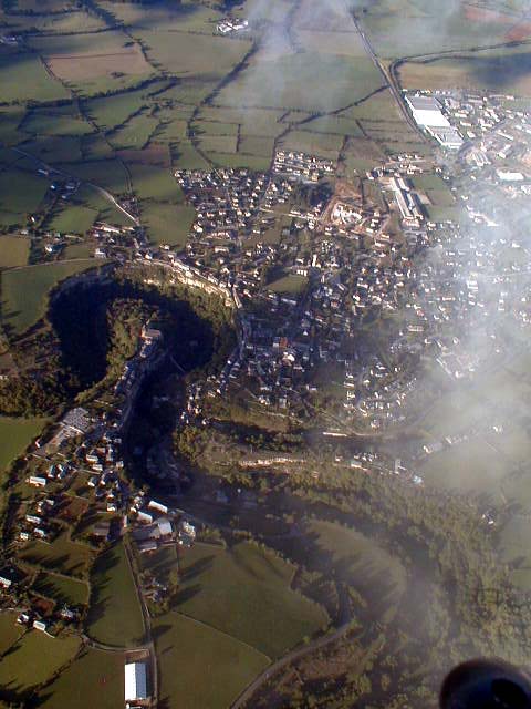

Bozouls
- commune in Aveyron, France
- Country:
- Postal Code: 12340
- Coordinates: 44° 28' 14" N, 2° 43' 14" E
- GPS tracks (wikiloc): [Link]
- Area: 69.69 sq km
- Population: 2804
- Web site: [Link]


Sébrazac
- commune in Aveyron, France
- Country:
- Postal Code: 12190
- Coordinates: 44° 31' 30" N, 2° 39' 26" E
- GPS tracks (wikiloc): [Link]
- Area: 25.04 sq km
- Population: 505
- Web site: [Link]