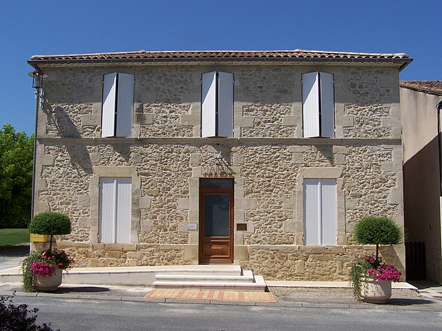
Bieujac (Bieujac)

- commune in Gironde, France
- Country:

- Postal Code: 33210
- Coordinates: 44° 32' 22" N, 0° 9' 18" E


- GPS tracks (wikiloc): [Link]
- Area: 6.97 sq km
- Population: 564
- Web site: http://www.bieujac.fr
- Wikipedia en: wiki(en)
- Wikipedia: wiki(fr)
- Wikidata storage: Wikidata: Q715857
- Wikipedia Commons Category: [Link]
- Freebase ID: [/m/03nrx4q]
- GeoNames ID: Alt: [6448411]
- SIREN number: [213300502]
- BnF ID: [15256104b]
- INSEE municipality code: 33050
Shares border with regions:


Auros
- commune in Gironde, France
- Country:
- Postal Code: 33124
- Coordinates: 44° 29' 44" N, 0° 8' 44" E
- GPS tracks (wikiloc): [Link]
- Area: 15.32 sq km
- Population: 1011
- Web site: [Link]

Castets-en-Dorthe
- former French commune of the department of Gironde, France
- Country:
- Postal Code: 33210
- Coordinates: 44° 33' 42" N, 0° 9' 11" E
- GPS tracks (wikiloc): [Link]
- Area: 8.69 sq km
- Population: 1164
- Web site: [Link]
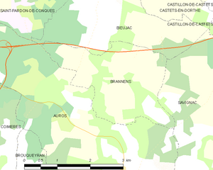
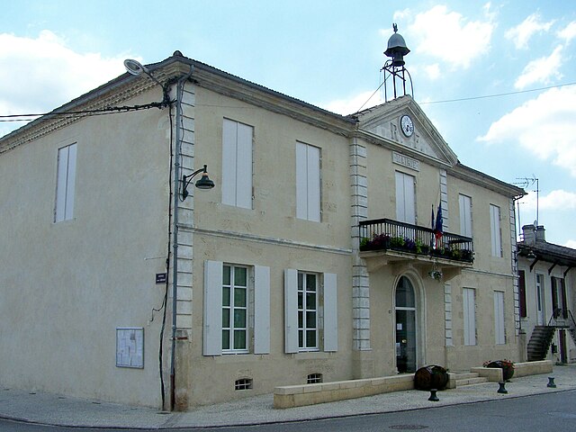
Brannens
- commune in Gironde, France
- Country:
- Postal Code: 33124
- Coordinates: 44° 31' 15" N, 0° 9' 10" E
- GPS tracks (wikiloc): [Link]
- Area: 6.04 sq km
- Population: 234


Saint-Pardon-de-Conques
- commune in Gironde, France
- Country:
- Postal Code: 33210
- Coordinates: 44° 33' 15" N, 0° 10' 52" E
- GPS tracks (wikiloc): [Link]
- Area: 6.68 sq km
- Population: 573
- Web site: [Link]


Castillon-de-Castets
- former commune in Gironde, France
- Country:
- Postal Code: 33210
- Coordinates: 44° 32' 59" N, 0° 6' 55" E
- GPS tracks (wikiloc): [Link]
- Area: 4.47 sq km
- Population: 304


Savignac
- commune in Gironde, France
- Country:
- Postal Code: 33124
- Coordinates: 44° 31' 22" N, 0° 6' 32" E
- GPS tracks (wikiloc): [Link]
- Area: 17.02 sq km
- Population: 635
- Web site: [Link]


Saint-Loubert
- commune in Gironde, France
- Country:
- Postal Code: 33210
- Coordinates: 44° 33' 30" N, 0° 10' 4" E
- GPS tracks (wikiloc): [Link]
- Area: 2.11 sq km
- Population: 229
- Web site: [Link]