Bilieu (Bilieu)

- commune in Isère, France
 Hiking in Bilieu
Bilieu is a charming village located in the Auvergne-Rhône-Alpes region of France, near the shores of Lake Paladru. It offers a variety of hiking opportunities that cater to different skill levels, allowing both beginners and experienced hikers to explore the natural beauty of the area. Here are some highlights of hiking in Bilieu:
Scenic Trails
-
Lake Paladru Circuit: One of the most popular hiking routes is the circuit around Lake Paladru. The trail offers stunning views of the lake and surrounding mountains. This flat path is suitable for families and can be enjoyed year-round.
-
Montfleur Trail: For those looking for a more challenging hike, the Montfleur trail leads you through rolling hills and dense forests, offering panoramic views of the surrounding landscape.
-
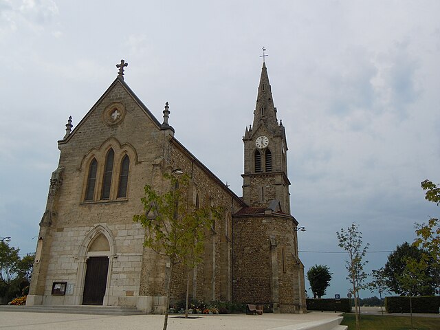
Cultural Heritage: As you hike in this region, keep an eye out for historical sites and churches in and around Bilieu, adding a cultural aspect to your outdoor adventures.
Flora and Fauna
The region around Bilieu boasts diverse flora and fauna. You might encounter various species of trees, wildflowers, and even some wildlife such as deer and various bird species. Spring and summer are particularly vibrant times to hike here.
Best Hiking Practices
-
Trail Maps: Always carry a detailed map or use a reliable hiking app for navigation, especially if you plan to explore less marked paths.
-
Weather Preparedness: The weather can change quickly in the mountains, so it's wise to check the forecast and dress in layers.
-
Stay Hydrated: Bring enough water and snacks, especially on longer hikes.
-
Leave No Trace: Respect the natural environment by following Leave No Trace principles. Carry out any trash and minimize your impact on the trails.
Accessibility
Bilieu is easily accessible by road, and there are various parking areas near popular trailheads. Nearby towns and cities, like Grenoble, can also serve as good starting points for accessing the hiking trails.
Overall, hiking in Bilieu offers a unique blend of natural beauty and cultural experiences, making it a wonderful destination for outdoor enthusiasts. Whether you prefer leisurely walks along the lake or more rigorous mountain trails, there’s something for everyone to enjoy!
- Country:

- Postal Code: 38850
- Coordinates: 45° 26' 55" N, 5° 32' 59" E


- GPS tracks (wikiloc): [Link]
- Area: 6.71 sq km
- Population: 1503
- Web site: http://www.mairie-bilieu.fr
- Wikipedia en: wiki(en)
- Wikipedia: wiki(fr)
- Wikidata storage: Wikidata: Q1069530
- Wikipedia Commons Category: [Link]
- Freebase ID: [/m/03g_70j]
- GeoNames ID: Alt: [6448729]
- SIREN number: [213800436]
- BnF ID: [152578720]
- INSEE municipality code: 38043
Shares border with regions:


Charavines
- commune in Isère, France
Hiking in Charavines
Charavines is a picturesque village located in the Isère department of the Auvergne-Rhône-Alpes region in southeastern France. Nestled near the shores of Lake Paladru, it offers a variety of hiking opportunities suitable for all levels of outdoor enthusiasts. Here are some highlights of hiking in and around Charavines:...
- Country:
- Postal Code: 38850
- Coordinates: 45° 25' 50" N, 5° 30' 48" E
- GPS tracks (wikiloc): [Link]
- Area: 7.52 sq km
- Population: 1907
- Web site: [Link]


Saint-Sulpice-des-Rivoires
- commune in Isère, France
Hiking in Saint-Sulpice-des-Rivoires
Saint-Sulpice-des-Rivoires is a charming commune located in the Isère department of the Auvergne-Rhône-Alpes region in southeastern France. The area is known for its beautiful landscapes and outdoor activities, including hiking. Here are some key points to consider if you're planning to hike in and around Saint-Sulpice-des-Rivoires:...
- Country:
- Postal Code: 38620
- Coordinates: 45° 28' 8" N, 5° 36' 34" E
- GPS tracks (wikiloc): [Link]
- Area: 7.16 sq km
- Population: 435


Le Pin
- former commune in Isère, France
Hiking in Le Pin
Le Pin, located in the Isère department of the Auvergne-Rhône-Alpes region in France, offers beautiful hiking opportunities with picturesque landscapes and a variety of trails suited for different skill levels. Here are some insights into hiking in the area:...
- Country:
- Postal Code: 38730
- Coordinates: 45° 27' 24" N, 5° 30' 20" E
- GPS tracks (wikiloc): [Link]
- Area: 9.6 sq km
- Population: 1255
- Web site: [Link]

Montferrat
- commune in Isère, France
Hiking in Montferrat
Montferrat, located in the Isère department of the Auvergne-Rhône-Alpes region in southeastern France, offers stunning hiking opportunities through its picturesque landscapes. Here are some key points to consider for hiking in Montferrat:...
- Country:
- Postal Code: 38620
- Coordinates: 45° 29' 16" N, 5° 35' 27" E
- GPS tracks (wikiloc): [Link]
- Area: 12.26 sq km
- Population: 1767
- Web site: [Link]


Paladru
- former commune in Isère, France
Hiking in Paladru
Hiking in Paladru, located in the Auvergne-Rhône-Alpes region of France, offers a beautiful blend of natural landscapes, cultural heritage, and outdoor activities. The area is known for its stunning lake, Lac de Paladru, which is one of the cleanest lakes in the region and provides a picturesque backdrop for hiking....
- Country:
- Postal Code: 38137
- Coordinates: 45° 28' 33" N, 5° 33' 12" E
- GPS tracks (wikiloc): [Link]
- Area: 11.64 sq km
- Population: 1181
- Web site: [Link]


Chirens
- commune in Isère, France
Hiking in Chirens
Chirens is a charming village located in the Isère department in the Auvergne-Rhône-Alpes region of southeastern France. It’s surrounded by beautiful natural landscapes, making it a great destination for hiking enthusiasts. Here are some highlights for hiking in and around Chirens:...
- Country:
- Postal Code: 38850
- Coordinates: 45° 24' 50" N, 5° 33' 21" E
- GPS tracks (wikiloc): [Link]
- AboveSeaLevel: 876 м m
- Area: 17.53 sq km
- Population: 2342
- Web site: [Link]


Massieu
- commune in Isère, France
Hiking in Massieu
Massieu is a beautiful area located in the French Alps, offering stunning views and diverse hiking opportunities. Here are some key points to know about hiking in Massieu:...
- Country:
- Postal Code: 38620
- Coordinates: 45° 26' 23" N, 5° 35' 47" E
- GPS tracks (wikiloc): [Link]
- Area: 10.46 sq km
- Population: 738
- Web site: [Link]