Billé (Billé)

- commune in Ille-et-Vilaine, France
- Country:

- Postal Code: 35133
- Coordinates: 48° 17' 16" N, 1° 14' 47" E


- GPS tracks (wikiloc): [Link]
- Area: 16.96 sq km
- Population: 1047
- Web site: http://www.communedebille.fr
- Wikipedia en: wiki(en)
- Wikipedia: wiki(fr)
- Wikidata storage: Wikidata: Q685025
- Wikipedia Commons Category: [Link]
- Freebase ID: [/m/03c8p26]
- Freebase ID: [/m/03c8p26]
- GeoNames ID: Alt: [6448520]
- GeoNames ID: Alt: [6448520]
- SIREN number: [213500259]
- SIREN number: [213500259]
- BnF ID: [152569694]
- BnF ID: [152569694]
- OSM relation ID: [163997]
- OSM relation ID: [163997]
- INSEE municipality code: 35025
- INSEE municipality code: 35025
Shares border with regions:


La Chapelle-Saint-Aubert
- commune in Ille-et-Vilaine, France
- Country:
- Postal Code: 35140
- Coordinates: 48° 18' 49" N, 1° 18' 29" E
- GPS tracks (wikiloc): [Link]
- Area: 9.77 sq km
- Population: 425


Saint-Georges-de-Chesné
- former commune in Ille-et-Vilaine, France
- Country:
- Postal Code: 35140
- Coordinates: 48° 16' 25" N, 1° 17' 29" E
- GPS tracks (wikiloc): [Link]
- Area: 11.62 sq km
- Population: 707
- Web site: [Link]
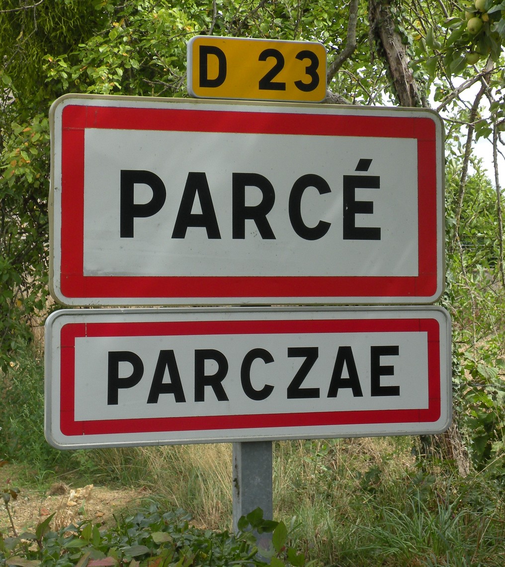

Parcé
- commune in Ille-et-Vilaine, France
- Country:
- Postal Code: 35210
- Coordinates: 48° 16' 23" N, 1° 12' 1" E
- GPS tracks (wikiloc): [Link]
- Area: 16.88 sq km
- Population: 651
- Web site: [Link]

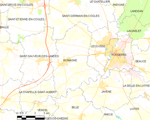
Romagné
- commune in Ille-et-Vilaine, France
- Country:
- Postal Code: 35133
- Coordinates: 48° 20' 32" N, 1° 16' 38" E
- GPS tracks (wikiloc): [Link]
- Area: 26.93 sq km
- Population: 2351
- Web site: [Link]


Vendel
- commune in Ille-et-Vilaine, France
- Country:
- Postal Code: 35140
- Coordinates: 48° 17' 57" N, 1° 18' 41" E
- GPS tracks (wikiloc): [Link]
- Area: 6.37 sq km
- Population: 388


Javené
- commune in Ille-et-Vilaine, France
- Country:
- Postal Code: 35133
- Coordinates: 48° 19' 9" N, 1° 12' 57" E
- GPS tracks (wikiloc): [Link]
- Area: 18.45 sq km
- Population: 2055
- Web site: [Link]

Montreuil-des-Landes
- commune in Ille-et-Vilaine, France
- Country:
- Postal Code: 35210
- Coordinates: 48° 14' 49" N, 1° 13' 24" E
- GPS tracks (wikiloc): [Link]
- AboveSeaLevel: 110 м m
- Area: 9.42 sq km
- Population: 247


Combourtillé
- commune in Ille-et-Vilaine, France
- Country:
- Postal Code: 35210
- Coordinates: 48° 16' 19" N, 1° 14' 44" E
- GPS tracks (wikiloc): [Link]
- Area: 9.25 sq km
- Population: 606