Javené (Javené)

- commune in Ille-et-Vilaine, France
- Country:

- Postal Code: 35133
- Coordinates: 48° 19' 9" N, 1° 12' 57" E


- GPS tracks (wikiloc): [Link]
- Area: 18.45 sq km
- Population: 2055
- Web site: http://www.mairie-javene.fr
- Wikipedia en: wiki(en)
- Wikipedia: wiki(fr)
- Wikidata storage: Wikidata: Q677386
- Wikipedia Commons Category: [Link]
- Freebase ID: [/m/03mbbqw]
- Freebase ID: [/m/03mbbqw]
- GeoNames ID: Alt: [3012399]
- GeoNames ID: Alt: [3012399]
- SIREN number: [213501372]
- SIREN number: [213501372]
- VIAF ID: Alt: [168308918]
- VIAF ID: Alt: [168308918]
- OSM relation ID: [163993]
- OSM relation ID: [163993]
- Library of Congress authority ID: Alt: [nr92012799]
- Library of Congress authority ID: Alt: [nr92012799]
- PACTOLS thesaurus ID: [pcrts326ovmhxR]
- PACTOLS thesaurus ID: [pcrts326ovmhxR]
- INSEE municipality code: 35137
- INSEE municipality code: 35137
- GNS Unique Feature ID: -1432986
- GNS Unique Feature ID: -1432986
Shares border with regions:


La Selle-en-Luitré
- commune in Ille-et-Vilaine, France
- Country:
- Postal Code: 35133
- Coordinates: 48° 18' 39" N, 1° 7' 38" E
- GPS tracks (wikiloc): [Link]
- Area: 7.32 sq km
- Population: 582
- Web site: [Link]

Lécousse
- commune in Ille-et-Vilaine, France
- Country:
- Postal Code: 35133
- Coordinates: 48° 22' 3" N, 1° 13' 4" E
- GPS tracks (wikiloc): [Link]
- Area: 11.07 sq km
- Population: 3178
- Web site: [Link]
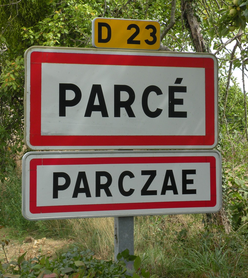

Parcé
- commune in Ille-et-Vilaine, France
- Country:
- Postal Code: 35210
- Coordinates: 48° 16' 23" N, 1° 12' 1" E
- GPS tracks (wikiloc): [Link]
- Area: 16.88 sq km
- Population: 651
- Web site: [Link]

Romagné
- commune in Ille-et-Vilaine, France
- Country:
- Postal Code: 35133
- Coordinates: 48° 20' 32" N, 1° 16' 38" E
- GPS tracks (wikiloc): [Link]
- Area: 26.93 sq km
- Population: 2351
- Web site: [Link]
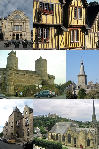

Fougères
- commune in Ille-et-Vilaine, France
- Country:
- Postal Code: 35300
- Coordinates: 48° 21' 6" N, 1° 12' 0" E
- GPS tracks (wikiloc): [Link]
- AboveSeaLevel: 171 м m
- Area: 10.46 sq km
- Population: 20235
- Web site: [Link]


Luitré
- commune in Ille-et-Vilaine, France
- Country:
- Postal Code: 35133
- Coordinates: 48° 17' 0" N, 1° 7' 7" E
- GPS tracks (wikiloc): [Link]
- Area: 29.15 sq km
- Population: 1299
- Web site: [Link]


Billé
- commune in Ille-et-Vilaine, France
- Country:
- Postal Code: 35133
- Coordinates: 48° 17' 16" N, 1° 14' 47" E
- GPS tracks (wikiloc): [Link]
- Area: 16.96 sq km
- Population: 1047
- Web site: [Link]