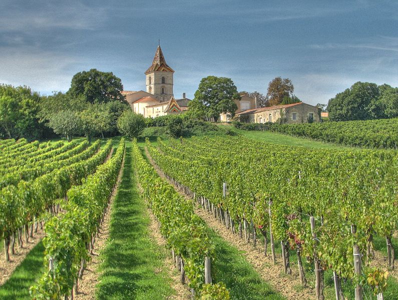
Blaye (Blaye)

- commune in Gironde, France
- Country:

- Postal Code: 33390
- Coordinates: 45° 8' 0" N, 0° 40' 0" E


- GPS tracks (wikiloc): [Link]
- AboveSeaLevel: 7 м m
- Area: 6.42 sq km
- Population: 4813
- Web site: http://www.blaye.fr
- Wikipedia en: wiki(en)
- Wikipedia: wiki(fr)
- Wikidata storage: Wikidata: Q202562
- Wikipedia Commons Category: [Link]
- Freebase ID: [/m/08sgsf]
- GeoNames ID: Alt: [2967108]
- SIREN number: [213300585]
- BnF ID: [15256112z]
- VIAF ID: Alt: [168353422]
- GND ID: Alt: [4260863-6]
- Library of Congress authority ID: Alt: [n92066526]
- TGN ID: [1032175]
- EMLO location ID: [27abc52a-0ed1-4132-a9e1-8da1b5be5ccc]
- INSEE municipality code: 33058
Shares border with regions:

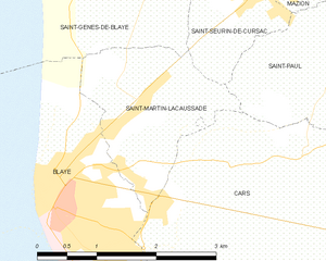
Saint-Martin-Lacaussade
- commune in Gironde, France
- Country:
- Postal Code: 33390
- Coordinates: 45° 8' 49" N, 0° 38' 33" E
- GPS tracks (wikiloc): [Link]
- Area: 3.94 sq km
- Population: 1061

Cars
- commune in Gironde, France
- Country:
- Postal Code: 33390
- Coordinates: 45° 7' 45" N, 0° 37' 13" E
- GPS tracks (wikiloc): [Link]
- Area: 11.1 sq km
- Population: 1165
- Web site: [Link]

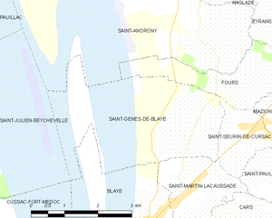
Saint-Genès-de-Blaye
- commune in Gironde, France
- Country:
- Postal Code: 33390
- Coordinates: 45° 9' 43" N, 0° 38' 29" E
- GPS tracks (wikiloc): [Link]
- Area: 7.41 sq km
- Population: 484


Lamarque
- commune in Gironde, France
- Country:
- Postal Code: 33460
- Coordinates: 45° 5' 46" N, 0° 43' 4" E
- GPS tracks (wikiloc): [Link]
- Area: 8.91 sq km
- Population: 1287
- Web site: [Link]

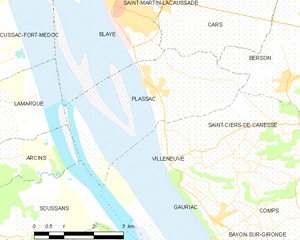
Plassac
- commune in Gironde, France
- Country:
- Postal Code: 33390
- Coordinates: 45° 6' 13" N, 0° 38' 49" E
- GPS tracks (wikiloc): [Link]
- Area: 7.12 sq km
- Population: 865
- Web site: [Link]

Cussac-Fort-Médoc
- commune in Gironde, France
- Country:
- Postal Code: 33460
- Coordinates: 45° 6' 51" N, 0° 43' 51" E
- GPS tracks (wikiloc): [Link]
- AboveSeaLevel: 19 м m
- Area: 18.01 sq km
- Population: 2133
- Web site: [Link]