Blou (Blou)

- commune in Maine-et-Loire, France
- Country:

- Postal Code: 49160
- Coordinates: 47° 21' 44" N, 0° 2' 14" E


- GPS tracks (wikiloc): [Link]
- Area: 21.46 sq km
- Population: 1007
- Wikipedia en: wiki(en)
- Wikipedia: wiki(fr)
- Wikidata storage: Wikidata: Q1104177
- Wikipedia Commons Category: [Link]
- Freebase ID: [/m/03qcn_x]
- GeoNames ID: Alt: [3032193]
- SIREN number: [214900300]
- BnF ID: [15261632z]
- INSEE municipality code: 49030
Shares border with regions:


Vivy
- commune in Maine-et-Loire, France
- Country:
- Postal Code: 49680
- Coordinates: 47° 19' 35" N, 0° 3' 16" E
- GPS tracks (wikiloc): [Link]
- Area: 23.17 sq km
- Population: 2574

Vernantes
- commune in Maine-et-Loire, France
- Country:
- Postal Code: 49390
- Coordinates: 47° 23' 35" N, 0° 3' 7" E
- GPS tracks (wikiloc): [Link]
- Area: 40.77 sq km
- Population: 1988

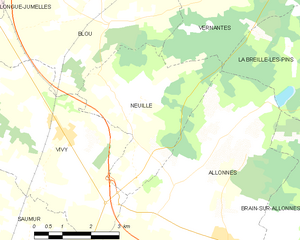
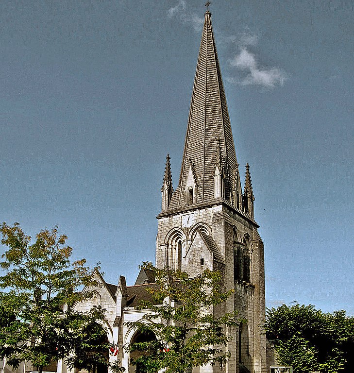
Neuillé
- commune in Maine-et-Loire, France
- Country:
- Postal Code: 49680
- Coordinates: 47° 20' 28" N, 0° 2' 6" E
- GPS tracks (wikiloc): [Link]
- Area: 13.56 sq km
- Population: 995
- Web site: [Link]

Saint-Philbert-du-Peuple
- commune in Maine-et-Loire, France
- Country:
- Postal Code: 49160
- Coordinates: 47° 23' 35" N, 0° 2' 39" E
- GPS tracks (wikiloc): [Link]
- Area: 16.38 sq km
- Population: 1288


Longué-Jumelles
- commune in Maine-et-Loire, France
- Country:
- Postal Code: 49160
- Coordinates: 47° 22' 41" N, 0° 6' 29" E
- GPS tracks (wikiloc): [Link]
- AboveSeaLevel: 40 м m
- Area: 96.2 sq km
- Population: 6825
- Web site: [Link]