Boëssé-le-Sec (Boëssé-le-Sec)

- commune in Sarthe, France
- Country:

- Postal Code: 72400
- Coordinates: 48° 8' 6" N, 0° 33' 50" E


- GPS tracks (wikiloc): [Link]
- Area: 11.76 sq km
- Population: 622
- Wikipedia en: wiki(en)
- Wikipedia: wiki(fr)
- Wikidata storage: Wikidata: Q644807
- Wikipedia Commons Category: [Link]
- Freebase ID: [/m/03qj0c7]
- GeoNames ID: Alt: [6450920]
- SIREN number: [217200385]
- BnF ID: [15273596m]
- INSEE municipality code: 72038
Shares border with regions:

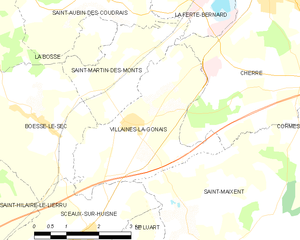
Villaines-la-Gonais
- commune in Sarthe, France
- Country:
- Postal Code: 72400
- Coordinates: 48° 8' 10" N, 0° 36' 6" E
- GPS tracks (wikiloc): [Link]
- Area: 10.34 sq km
- Population: 556
- Web site: [Link]


Sceaux-sur-Huisne
- commune in Sarthe, France
- Country:
- Postal Code: 72160
- Coordinates: 48° 6' 17" N, 0° 35' 0" E
- GPS tracks (wikiloc): [Link]
- Area: 11.76 sq km
- Population: 570


Saint-Martin-des-Monts
- commune in Sarthe, France
- Country:
- Postal Code: 72400
- Coordinates: 48° 8' 57" N, 0° 35' 46" E
- GPS tracks (wikiloc): [Link]
- Area: 5.72 sq km
- Population: 186
- Web site: [Link]


Saint-Hilaire-le-Lierru
- former commune in Sarthe, France
- Country:
- Postal Code: 72160
- Coordinates: 48° 6' 34" N, 0° 32' 16" E
- GPS tracks (wikiloc): [Link]
- Area: 4.5 sq km
- Population: 142

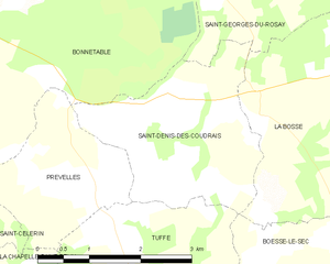
Saint-Denis-des-Coudrais
- commune in Sarthe, France
- Country:
- Postal Code: 72110
- Coordinates: 48° 9' 1" N, 0° 30' 27" E
- GPS tracks (wikiloc): [Link]
- Area: 7 sq km
- Population: 122

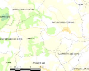
La Bosse, Sarthe
- commune in Sarthe, France
- Country:
- Postal Code: 72400
- Coordinates: 48° 10' 12" N, 0° 31' 34" E
- GPS tracks (wikiloc): [Link]
- Area: 10.75 sq km
- Population: 133