Saint-Martin-des-Monts (Saint-Martin-des-Monts)

- commune in Sarthe, France
- Country:

- Postal Code: 72400
- Coordinates: 48° 8' 57" N, 0° 35' 46" E


- GPS tracks (wikiloc): [Link]
- Area: 5.72 sq km
- Population: 186
- Web site: http://www.stmartindesmonts.fr
- Wikipedia en: wiki(en)
- Wikipedia: wiki(fr)
- Wikidata storage: Wikidata: Q532491
- Wikipedia Commons Category: [Link]
- Freebase ID: [/m/03qj0w1]
- GeoNames ID: Alt: [6442711]
- SIREN number: [217203025]
- BnF ID: [15273854h]
- INSEE municipality code: 72302
Shares border with regions:

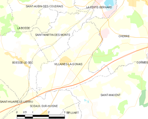
Villaines-la-Gonais
- commune in Sarthe, France
- Country:
- Postal Code: 72400
- Coordinates: 48° 8' 10" N, 0° 36' 6" E
- GPS tracks (wikiloc): [Link]
- Area: 10.34 sq km
- Population: 556
- Web site: [Link]


Saint-Aubin-des-Coudrais
- commune in Sarthe, France
- Country:
- Postal Code: 72400
- Coordinates: 48° 10' 21" N, 0° 35' 5" E
- GPS tracks (wikiloc): [Link]
- Area: 17.42 sq km
- Population: 918


Cherré, Sarthe
- commune in Sarthe, France
- Country:
- Postal Code: 72400
- Coordinates: 48° 10' 21" N, 0° 39' 30" E
- GPS tracks (wikiloc): [Link]
- Area: 18.73 sq km
- Population: 1731
- Web site: [Link]


Boëssé-le-Sec
- commune in Sarthe, France
- Country:
- Postal Code: 72400
- Coordinates: 48° 8' 6" N, 0° 33' 50" E
- GPS tracks (wikiloc): [Link]
- Area: 11.76 sq km
- Population: 622

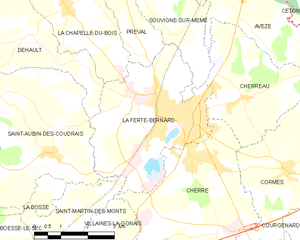
La Ferté-Bernard
- commune in Sarthe, France
- Country:
- Postal Code: 72400
- Coordinates: 48° 11' 12" N, 0° 39' 16" E
- GPS tracks (wikiloc): [Link]
- Area: 14.96 sq km
- Population: 8875
- Web site: [Link]

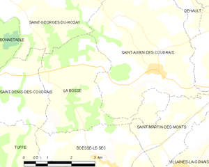
La Bosse, Sarthe
- commune in Sarthe, France
- Country:
- Postal Code: 72400
- Coordinates: 48° 10' 12" N, 0° 31' 34" E
- GPS tracks (wikiloc): [Link]
- Area: 10.75 sq km
- Population: 133