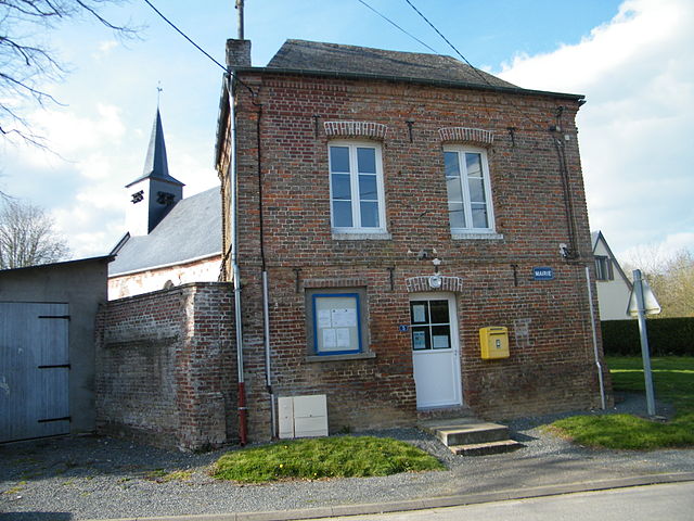
Bouillancourt-en-Séry (Bouillancourt-en-Séry)

- commune in Somme, France
- Country:

- Postal Code: 80220
- Coordinates: 49° 57' 44" N, 1° 37' 41" E


- GPS tracks (wikiloc): [Link]
- Area: 16.11 sq km
- Population: 563
- Wikipedia en: wiki(en)
- Wikipedia: wiki(fr)
- Wikidata storage: Wikidata: Q431395
- Wikipedia Commons Category: [Link]
- Freebase ID: [/m/03mbbfy]
- GeoNames ID: Alt: [6444286]
- SIREN number: [218001162]
- BnF ID: [152766044]
- VIAF ID: Alt: [140868860]
- Library of Congress authority ID: Alt: [n93045554]
- PACTOLS thesaurus ID: [pcrt0foSNk6dQ7]
- Digital Atlas of the Roman Empire ID: [1705]
- INSEE municipality code: 80120
Shares border with regions:

Framicourt
- commune in Somme, France
- Country:
- Postal Code: 80140
- Coordinates: 49° 57' 25" N, 1° 40' 24" E
- GPS tracks (wikiloc): [Link]
- Area: 5.02 sq km
- Population: 190


Frettemeule
- commune in Somme, France
- Country:
- Postal Code: 80220
- Coordinates: 50° 0' 0" N, 1° 38' 38" E
- GPS tracks (wikiloc): [Link]
- AboveSeaLevel: 90 м m
- Area: 7.45 sq km
- Population: 316


Gamaches
- commune in Somme, France
- Country:
- Postal Code: 80220
- Coordinates: 49° 59' 12" N, 1° 33' 26" E
- GPS tracks (wikiloc): [Link]
- Area: 9.92 sq km
- Population: 2643
- Web site: [Link]


Neslette
- commune in Somme, France
- Country:
- Postal Code: 80140
- Coordinates: 49° 55' 26" N, 1° 40' 0" E
- GPS tracks (wikiloc): [Link]
- Area: 2.07 sq km
- Population: 85


Bouttencourt
- commune in Somme, France
- Country:
- Postal Code: 80220
- Coordinates: 49° 56' 8" N, 1° 37' 50" E
- GPS tracks (wikiloc): [Link]
- Area: 7.73 sq km
- Population: 950
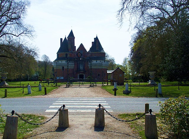

Rambures
- commune in Somme, France
- Country:
- Postal Code: 80140
- Coordinates: 49° 56' 33" N, 1° 42' 12" E
- GPS tracks (wikiloc): [Link]
- Area: 9.9 sq km
- Population: 355


Tilloy-Floriville
- commune in Somme, France
- Country:
- Postal Code: 80220
- Coordinates: 49° 59' 16" N, 1° 36' 37" E
- GPS tracks (wikiloc): [Link]
- Area: 8.09 sq km
- Population: 394

Le Translay
- commune in Somme, France
- Country:
- Postal Code: 80140
- Coordinates: 49° 58' 10" N, 1° 40' 32" E
- GPS tracks (wikiloc): [Link]
- Area: 5.61 sq km
- Population: 237