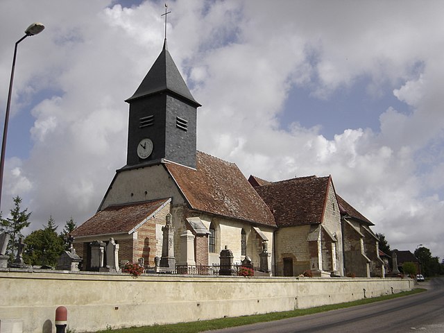
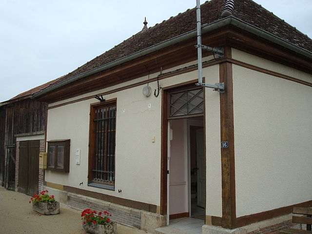
Bouranton (Bouranton)

- commune in Aube, France
- Country:

- Postal Code: 10270
- Coordinates: 48° 18' 41" N, 4° 10' 48" E


- GPS tracks (wikiloc): [Link]
- Area: 8.15 sq km
- Population: 563
- Wikipedia en: wiki(en)
- Wikipedia: wiki(fr)
- Wikidata storage: Wikidata: Q43479
- Wikipedia Commons Category: [Link]
- Freebase ID: [/m/03m8qql]
- GeoNames ID: Alt: [6446937]
- SIREN number: [211000484]
- BnF ID: [152461462]
- PACTOLS thesaurus ID: [pcrtxuBv9L4ngS]
- INSEE municipality code: 10053
Shares border with regions:


Mesnil-Sellières
- commune in Aube, France
- Country:
- Postal Code: 10220
- Coordinates: 48° 20' 24" N, 4° 13' 16" E
- GPS tracks (wikiloc): [Link]
- Area: 8.43 sq km
- Population: 588


Thennelières
- commune in Aube, France
- Country:
- Postal Code: 10410
- Coordinates: 48° 17' 24" N, 4° 10' 35" E
- GPS tracks (wikiloc): [Link]
- Area: 6.73 sq km
- Population: 345
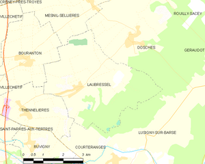
Laubressel
- commune in Aube, France
- Country:
- Postal Code: 10270
- Coordinates: 48° 17' 56" N, 4° 12' 43" E
- GPS tracks (wikiloc): [Link]
- Area: 16.24 sq km
- Population: 536

Villechétif
- commune in Aube, France
- Country:
- Postal Code: 10410
- Coordinates: 48° 18' 41" N, 4° 8' 42" E
- GPS tracks (wikiloc): [Link]
- Area: 12.24 sq km
- Population: 921