canton of Lusigny-sur-Barse (canton de Lusigny-sur-Barse)
- canton of France
- Country:

- Capital: Lusigny-sur-Barse
- Coordinates: 48° 15' 17" N, 4° 16' 7" E


- GPS tracks (wikiloc): [Link]
- Wikidata storage: Wikidata: Q1726012
- INSEE canton code: [1012]
Includes regions:
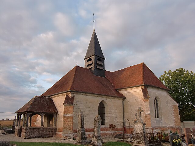
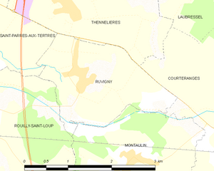
Ruvigny
- commune in Aube, France
- Country:

- Postal Code: 10410
- Coordinates: 48° 16' 22" N, 4° 11' 2" E


- GPS tracks (wikiloc): [Link]
- Area: 4.15 sq km
- Population: 490


Courteranges
- commune in Aube, France
- Country:

- Postal Code: 10270
- Coordinates: 48° 16' 4" N, 4° 14' 19" E


- GPS tracks (wikiloc): [Link]
- Area: 6.47 sq km
- Population: 571


Fresnoy-le-Château
- commune in Aube, France
- Country:

- Postal Code: 10270
- Coordinates: 48° 12' 35" N, 4° 13' 27" E


- GPS tracks (wikiloc): [Link]
- Area: 11.48 sq km
- Population: 270

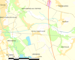
Rouilly-Saint-Loup
- commune in Aube, France
- Country:

- Postal Code: 10800
- Coordinates: 48° 15' 46" N, 4° 9' 2" E


- GPS tracks (wikiloc): [Link]
- Area: 11.26 sq km
- Population: 531
- Web site: [Link]


Thennelières
- commune in Aube, France
- Country:

- Postal Code: 10410
- Coordinates: 48° 17' 24" N, 4° 10' 35" E


- GPS tracks (wikiloc): [Link]
- Area: 6.73 sq km
- Population: 345


Montreuil-sur-Barse
- commune in Aube, France
- Country:

- Postal Code: 10270
- Coordinates: 48° 13' 30" N, 4° 17' 41" E


- GPS tracks (wikiloc): [Link]
- Area: 13.13 sq km
- Population: 307
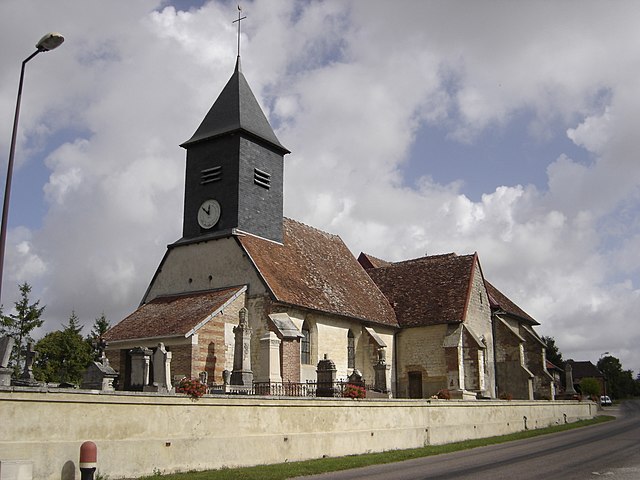
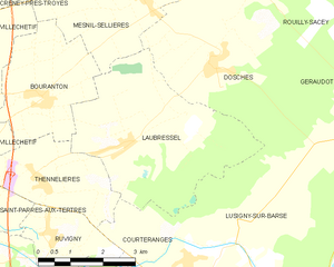
Laubressel
- commune in Aube, France
- Country:

- Postal Code: 10270
- Coordinates: 48° 17' 56" N, 4° 12' 43" E


- GPS tracks (wikiloc): [Link]
- Area: 16.24 sq km
- Population: 536


Montiéramey
- commune in Aube, France
- Country:

- Postal Code: 10270
- Coordinates: 48° 13' 50" N, 4° 18' 21" E


- GPS tracks (wikiloc): [Link]
- AboveSeaLevel: 138 м m
- Area: 6.73 sq km
- Population: 411


Clérey
- commune in Aube, France
- Country:

- Postal Code: 10390
- Coordinates: 48° 12' 32" N, 4° 11' 25" E


- GPS tracks (wikiloc): [Link]
- Area: 18.79 sq km
- Population: 1098


Bouranton
- commune in Aube, France
- Country:

- Postal Code: 10270
- Coordinates: 48° 18' 41" N, 4° 10' 48" E


- GPS tracks (wikiloc): [Link]
- Area: 8.15 sq km
- Population: 563


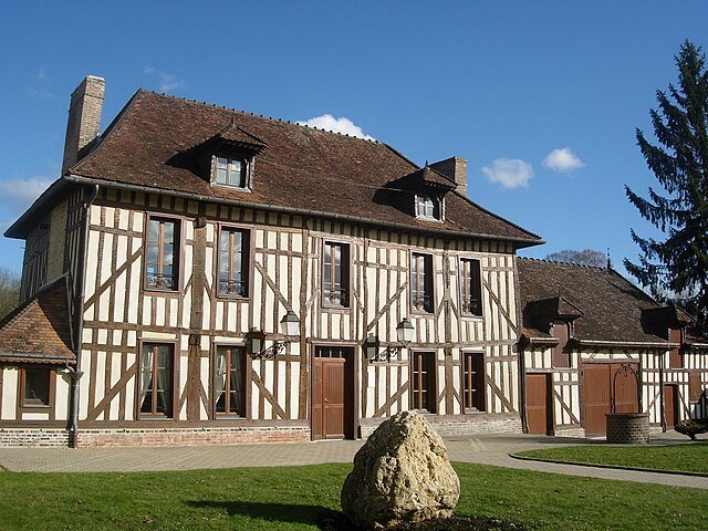
Lusigny-sur-Barse
- commune in Aube, France
- Country:

- Postal Code: 10270
- Coordinates: 48° 15' 16" N, 4° 16' 1" E


- GPS tracks (wikiloc): [Link]
- Area: 37.92 sq km
- Population: 2115

Verrières
- commune in Aube, France
- Country:

- Postal Code: 10390
- Coordinates: 48° 13' 58" N, 4° 8' 53" E


- GPS tracks (wikiloc): [Link]
- AboveSeaLevel: 124 м m
- Area: 10.12 sq km
- Population: 1892
- Web site: [Link]


Montaulin
- commune in Aube, France
- Country:

- Postal Code: 10270
- Coordinates: 48° 15' 11" N, 4° 11' 43" E


- GPS tracks (wikiloc): [Link]
- Area: 12.41 sq km
- Population: 810


Mesnil-Saint-Père
- commune in Aube, France
- Country:

- Postal Code: 10140
- Coordinates: 48° 15' 2" N, 4° 20' 14" E


- GPS tracks (wikiloc): [Link]
- Area: 17.45 sq km
- Population: 473
- Web site: [Link]