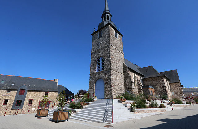
Bourgbarré (Bourgbarré)

- commune in Ille-et-Vilaine, France
- Country:

- Postal Code: 35230
- Coordinates: 47° 59' 40" N, 1° 36' 53" E


- GPS tracks (wikiloc): [Link]
- Area: 14.2 sq km
- Population: 3841
- Web site: http://www.bourgbarre.fr
- Wikipedia en: wiki(en)
- Wikipedia: wiki(fr)
- Wikidata storage: Wikidata: Q1011061
- Wikipedia Commons Category: [Link]
- Freebase ID: [/m/03c8nz4]
- GeoNames ID: Alt: [6448525]
- SIREN number: [213500325]
- BnF ID: [15256976d]
- OSM relation ID: [107919]
- PACTOLS thesaurus ID: [pcrtaqw9nDI0WR]
- INSEE municipality code: 35032
Shares border with regions:


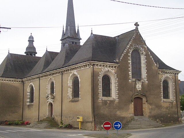
Corps-Nuds
- commune in Ille-et-Vilaine, France
- Country:
- Postal Code: 35150
- Coordinates: 47° 58' 41" N, 1° 35' 11" E
- GPS tracks (wikiloc): [Link]
- Area: 22.56 sq km
- Population: 3216
- Web site: [Link]


Chanteloup
- commune in Ille-et-Vilaine, France
- Country:
- Postal Code: 35150
- Coordinates: 47° 57' 57" N, 1° 36' 56" E
- GPS tracks (wikiloc): [Link]
- Area: 17.53 sq km
- Population: 1845
- Web site: [Link]


Vern-sur-Seiche
- commune in Ille-et-Vilaine, France
- Country:
- Postal Code: 35770
- Coordinates: 48° 2' 41" N, 1° 36' 1" E
- GPS tracks (wikiloc): [Link]
- AboveSeaLevel: 56 м m
- Area: 19.7 sq km
- Population: 7871
- Web site: [Link]


Saint-Erblon
- commune in Ille-et-Vilaine, France
- Country:
- Postal Code: 35230
- Coordinates: 48° 1' 8" N, 1° 39' 6" E
- GPS tracks (wikiloc): [Link]
- Area: 10.93 sq km
- Population: 2879
- Web site: [Link]

Orgères
- commune in Ille-et-Vilaine, France
- Country:
- Postal Code: 35230
- Coordinates: 47° 59' 56" N, 1° 40' 6" E
- GPS tracks (wikiloc): [Link]
- Area: 16.33 sq km
- Population: 4258
- Web site: [Link]

Saint-Armel
- commune in Ille-et-Vilaine, France
- Country:
- Postal Code: 35230
- Coordinates: 48° 0' 42" N, 1° 35' 26" E
- GPS tracks (wikiloc): [Link]
- Area: 7.75 sq km
- Population: 1845
- Web site: [Link]