.JPG)
Bourgheim (Bourgheim)

- commune in Bas-Rhin, France
- Country:

- Postal Code: 67140
- Coordinates: 48° 25' 8" N, 7° 29' 42" E


- GPS tracks (wikiloc): [Link]
- Area: 2.83 sq km
- Population: 592
- Wikipedia en: wiki(en)
- Wikipedia: wiki(fr)
- Wikidata storage: Wikidata: Q21252
- Wikipedia Commons Category: [Link]
- Freebase ID: [/m/03m4cvx]
- Freebase ID: [/m/03m4cvx]
- GeoNames ID: Alt: [6450607]
- GeoNames ID: Alt: [6450607]
- SIREN number: [216700609]
- SIREN number: [216700609]
- BnF ID: [15271203g]
- BnF ID: [15271203g]
- VIAF ID: Alt: [245856103]
- VIAF ID: Alt: [245856103]
- OSM relation ID: [86166]
- OSM relation ID: [86166]
- PACTOLS thesaurus ID: [pcrt6hgHZOE7Zb]
- PACTOLS thesaurus ID: [pcrt6hgHZOE7Zb]
- Pleiades ID: [108821]
- Pleiades ID: [108821]
- INSEE municipality code: 67060
- INSEE municipality code: 67060
Shares border with regions:
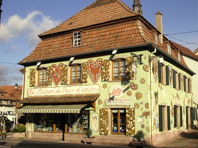
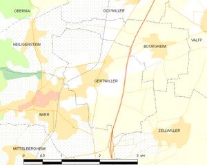
Gertwiller
- commune in Bas-Rhin, France
- Country:
- Postal Code: 67140
- Coordinates: 48° 24' 39" N, 7° 28' 4" E
- GPS tracks (wikiloc): [Link]
- Area: 4.89 sq km
- Population: 1269


Heiligenstein
- commune in Bas-Rhin, France
- Country:
- Postal Code: 67140
- Coordinates: 48° 25' 23" N, 7° 27' 1" E
- GPS tracks (wikiloc): [Link]
- Area: 3.99 sq km
- Population: 958

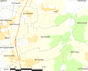
Zellwiller
- commune in Bas-Rhin, France
- Country:
- Postal Code: 67140
- Coordinates: 48° 23' 52" N, 7° 29' 52" E
- GPS tracks (wikiloc): [Link]
- Area: 8.79 sq km
- Population: 750


Valff
- commune in Bas-Rhin, France
- Country:
- Postal Code: 67210
- Coordinates: 48° 25' 17" N, 7° 31' 17" E
- GPS tracks (wikiloc): [Link]
- Area: 10.91 sq km
- Population: 1274


Goxwiller
- commune in Bas-Rhin, France
- Country:
- Postal Code: 67210
- Coordinates: 48° 25' 58" N, 7° 29' 5" E
- GPS tracks (wikiloc): [Link]
- Area: 3.3 sq km
- Population: 858