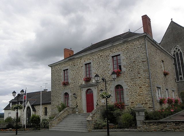
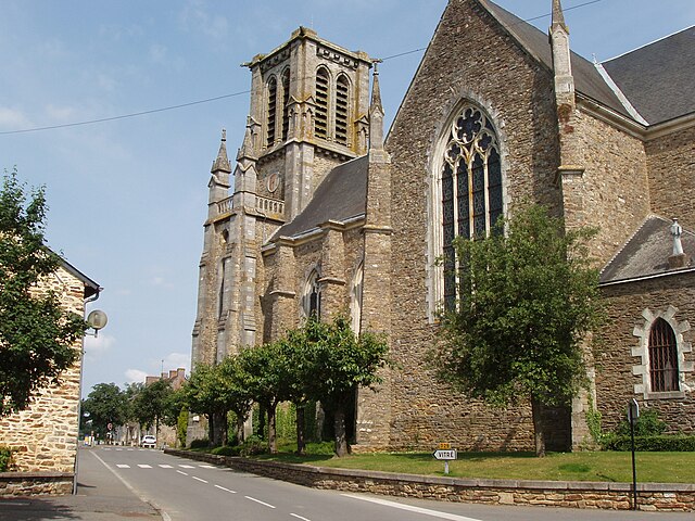
Bréal-sous-Vitré (Bréal-sous-Vitré)

- commune in Ille-et-Vilaine, France
- Country:

- Postal Code: 35370
- Coordinates: 48° 6' 11" N, 1° 3' 40" E


- GPS tracks (wikiloc): [Link]
- Area: 5.75 sq km
- Population: 655
- Wikipedia en: wiki(en)
- Wikipedia: wiki(fr)
- Wikidata storage: Wikidata: Q1011075
- Wikipedia Commons Category: [Link]
- Freebase ID: [/m/03c8nxf]
- Freebase ID: [/m/03c8nxf]
- GeoNames ID: Alt: [6448529]
- GeoNames ID: Alt: [6448529]
- SIREN number: [213500382]
- SIREN number: [213500382]
- BnF ID: [15256982b]
- BnF ID: [15256982b]
- VIAF ID: Alt: [238809808]
- VIAF ID: Alt: [238809808]
- OSM relation ID: [107917]
- OSM relation ID: [107917]
- Library of Congress authority ID: Alt: [n2013006091]
- Library of Congress authority ID: Alt: [n2013006091]
- PACTOLS thesaurus ID: [pcrt5WmSXTnuKk]
- PACTOLS thesaurus ID: [pcrt5WmSXTnuKk]
- SUDOC authorities ID: [161418643]
- SUDOC authorities ID: [161418643]
- INSEE municipality code: 35038
- INSEE municipality code: 35038
Shares border with regions:

Le Pertre
- commune in Ille-et-Vilaine, France
- Country:
- Postal Code: 35370
- Coordinates: 48° 2' 5" N, 1° 2' 14" E
- GPS tracks (wikiloc): [Link]
- Area: 43.63 sq km
- Population: 1390
- Web site: [Link]


Saint-Pierre-la-Cour
- commune in Mayenne, France
- Country:
- Postal Code: 53410
- Coordinates: 48° 6' 54" N, 1° 1' 35" E
- GPS tracks (wikiloc): [Link]
- Area: 15.69 sq km
- Population: 2136
- Web site: [Link]

Erbrée
- commune in Ille-et-Vilaine, France
- Country:
- Postal Code: 35500
- Coordinates: 48° 5' 56" N, 1° 7' 28" E
- GPS tracks (wikiloc): [Link]
- Area: 35.52 sq km
- Population: 1677
- Web site: [Link]


La Gravelle
- commune in Mayenne, France
- Country:
- Postal Code: 53410
- Coordinates: 48° 4' 22" N, 1° 0' 57" E
- GPS tracks (wikiloc): [Link]
- Area: 6.23 sq km
- Population: 519


Mondevert
- commune in Ille-et-Vilaine, France
- Country:
- Postal Code: 35370
- Coordinates: 48° 5' 3" N, 1° 5' 56" E
- GPS tracks (wikiloc): [Link]
- Area: 5.02 sq km
- Population: 811