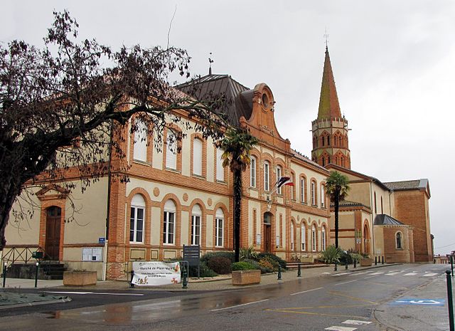
Bragayrac (Bragayrac)

- commune in Haute-Garonne, France
- Country:

- Postal Code: 31470
- Coordinates: 43° 28' 55" N, 1° 4' 11" E


- GPS tracks (wikiloc): [Link]
- Area: 8.25 sq km
- Population: 322
- Web site: http://www.bragayrac.fr
- Wikipedia en: wiki(en)
- Wikipedia: wiki(fr)
- Wikidata storage: Wikidata: Q1349078
- Wikipedia Commons Category: [Link]
- Freebase ID: [/m/03nsylx]
- Freebase ID: [/m/03nsylx]
- GeoNames ID: Alt: [6448300]
- GeoNames ID: Alt: [6448300]
- SIREN number: [213100878]
- SIREN number: [213100878]
- BnF ID: [15255083z]
- BnF ID: [15255083z]
- INSEE municipality code: 31087
- INSEE municipality code: 31087
Shares border with regions:


Seysses-Savès
- commune in Gers, France
- Country:
- Postal Code: 32130
- Coordinates: 43° 30' 23" N, 1° 2' 29" E
- GPS tracks (wikiloc): [Link]
- Area: 13.26 sq km
- Population: 245
- Web site: [Link]

Sainte-Foy-de-Peyrolières
- commune in Haute-Garonne, France
- Country:
- Postal Code: 31470
- Coordinates: 43° 29' 35" N, 1° 8' 42" E
- GPS tracks (wikiloc): [Link]
- Area: 38.02 sq km
- Population: 2038
- Web site: [Link]

Sabonnères
- commune in Haute-Garonne, France
- Country:
- Postal Code: 31370
- Coordinates: 43° 27' 58" N, 1° 3' 50" E
- GPS tracks (wikiloc): [Link]
- Area: 12.3 sq km
- Population: 310
- Web site: [Link]
Saint-Thomas
- commune in Haute-Garonne, France
- Country:
- Postal Code: 31470
- Coordinates: 43° 30' 52" N, 1° 4' 56" E
- GPS tracks (wikiloc): [Link]
- Area: 14.01 sq km
- Population: 564


Savignac-Mona
- commune in Gers, France
- Country:
- Postal Code: 32130
- Coordinates: 43° 29' 21" N, 1° 0' 28" E
- GPS tracks (wikiloc): [Link]
- Area: 6.87 sq km
- Population: 138