Bricqueville-la-Blouette (Bricqueville-la-Blouette)

- commune in Manche, France
- Country:

- Postal Code: 50200
- Coordinates: 49° 2' 3" N, 1° 28' 43" E


- GPS tracks (wikiloc): [Link]
- Area: 6.25 sq km
- Population: 561
- Web site: http://bricqueville-la-blouette.fr
- Wikipedia en: wiki(en)
- Wikipedia: wiki(fr)
- Wikidata storage: Wikidata: Q1063773
- Wikipedia Commons Category: [Link]
- Freebase ID: [/m/03qcqg9]
- Freebase ID: [/m/03qcqg9]
- GeoNames ID: Alt: [6449498]
- GeoNames ID: Alt: [6449498]
- SIREN number: [215000845]
- SIREN number: [215000845]
- BnF ID: [15262062g]
- BnF ID: [15262062g]
- INSEE municipality code: 50084
- INSEE municipality code: 50084
Shares border with regions:


Tourville-sur-Sienne
- commune in Manche, France
- Country:
- Postal Code: 50200
- Coordinates: 49° 2' 46" N, 1° 32' 39" E
- GPS tracks (wikiloc): [Link]
- Area: 7.5 sq km
- Population: 787


Heugueville-sur-Sienne
- commune in Manche, France
- Country:
- Postal Code: 50200
- Coordinates: 49° 2' 8" N, 1° 31' 27" E
- GPS tracks (wikiloc): [Link]
- Area: 5.88 sq km
- Population: 540
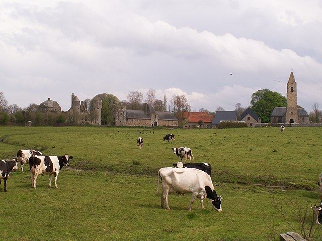
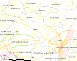
Gratot
- commune in Manche, France
- Country:
- Postal Code: 50200
- Coordinates: 49° 4' 7" N, 1° 29' 45" E
- GPS tracks (wikiloc): [Link]
- Area: 10.73 sq km
- Population: 646
- Web site: [Link]
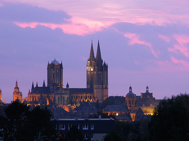
Coutances
- commune in Manche, France
- Country:
- Postal Code: 50200
- Coordinates: 49° 3' 0" N, 1° 26' 0" E
- GPS tracks (wikiloc): [Link]
- AboveSeaLevel: 92 м m
- Area: 12.51 sq km
- Population: 8688
- Web site: [Link]


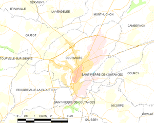
Saint-Pierre-de-Coutances
- commune in Manche, France
- Country:
- Postal Code: 50200
- Coordinates: 49° 2' 9" N, 1° 26' 57" E
- GPS tracks (wikiloc): [Link]
- AboveSeaLevel: 47 м m
- Area: 4.04 sq km
- Population: 422