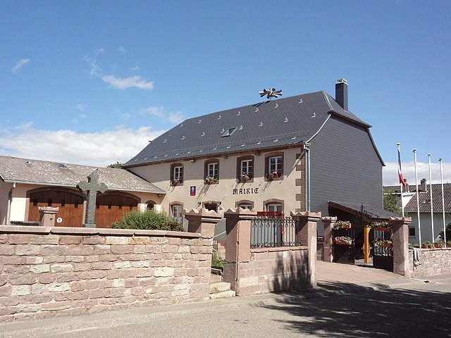
Brouviller (Brouviller)
- commune in Moselle, France
- Country:

- Postal Code: 57635
- Coordinates: 48° 45' 57" N, 7° 9' 29" E


- GPS tracks (wikiloc): [Link]
- Area: 11.24 sq km
- Population: 427
- Wikipedia en: wiki(en)
- Wikipedia: wiki(fr)
- Wikidata storage: Wikidata: Q21874
- Wikipedia Commons Category: [Link]
- Freebase ID: [/m/03qdwzs]
- Freebase ID: [/m/03qdwzs]
- GeoNames ID: Alt: [6437421]
- GeoNames ID: Alt: [6437421]
- SIREN number: [215701145]
- SIREN number: [215701145]
- BnF ID: [15265623z]
- BnF ID: [15265623z]
- INSEE municipality code: 57114
- INSEE municipality code: 57114
Shares border with regions:


Arzviller
- commune in Moselle, France
- Country:

- Postal Code: 57405
- Coordinates: 48° 43' 10" N, 7° 9' 56" E


- GPS tracks (wikiloc): [Link]
- Area: 5.21 sq km
- Population: 544
- Web site: [Link]


Henridorff
- commune in Moselle, France
- Country:

- Postal Code: 57820
- Coordinates: 48° 44' 1" N, 7° 12' 37" E


- GPS tracks (wikiloc): [Link]
- Area: 7.31 sq km
- Population: 687


Hommarting
- commune in Moselle, France
- Country:

- Postal Code: 57405
- Coordinates: 48° 44' 19" N, 7° 8' 43" E


- GPS tracks (wikiloc): [Link]
- Area: 10.19 sq km
- Population: 869


Réding
- commune in Moselle, France
- Country:

- Postal Code: 57445
- Coordinates: 48° 45' 5" N, 7° 6' 25" E


- GPS tracks (wikiloc): [Link]
- Area: 11.61 sq km
- Population: 2429


Vieux-Lixheim
- commune in Moselle, France
- Country:

- Postal Code: 57635
- Coordinates: 48° 46' 40" N, 7° 7' 57" E


- GPS tracks (wikiloc): [Link]
- Area: 6.45 sq km
- Population: 260


Waltembourg
- commune in Moselle, France
- Country:

- Postal Code: 57370
- Coordinates: 48° 45' 0" N, 7° 11' 51" E


- GPS tracks (wikiloc): [Link]
- Area: 1.4 sq km
- Population: 245


Lixheim
- commune in Moselle, France
- Country:

- Postal Code: 57635
- Coordinates: 48° 46' 31" N, 7° 8' 31" E


- GPS tracks (wikiloc): [Link]
- Area: 3.96 sq km
- Population: 606


Saint-Jean-Kourtzerode
- commune in Moselle, France
- Country:

- Postal Code: 57370
- Coordinates: 48° 45' 25" N, 7° 11' 33" E


- GPS tracks (wikiloc): [Link]
- Area: 1.58 sq km
- Population: 730


Hérange
- commune in Moselle, France
- Country:

- Postal Code: 57635
- Coordinates: 48° 46' 30" N, 7° 10' 11" E


- GPS tracks (wikiloc): [Link]
- Area: 2.73 sq km
- Population: 104


Bourscheid
- commune in Moselle, France
- Country:

- Postal Code: 57370
- Coordinates: 48° 46' 17" N, 7° 11' 25" E


- GPS tracks (wikiloc): [Link]
- Area: 3.99 sq km
- Population: 191
