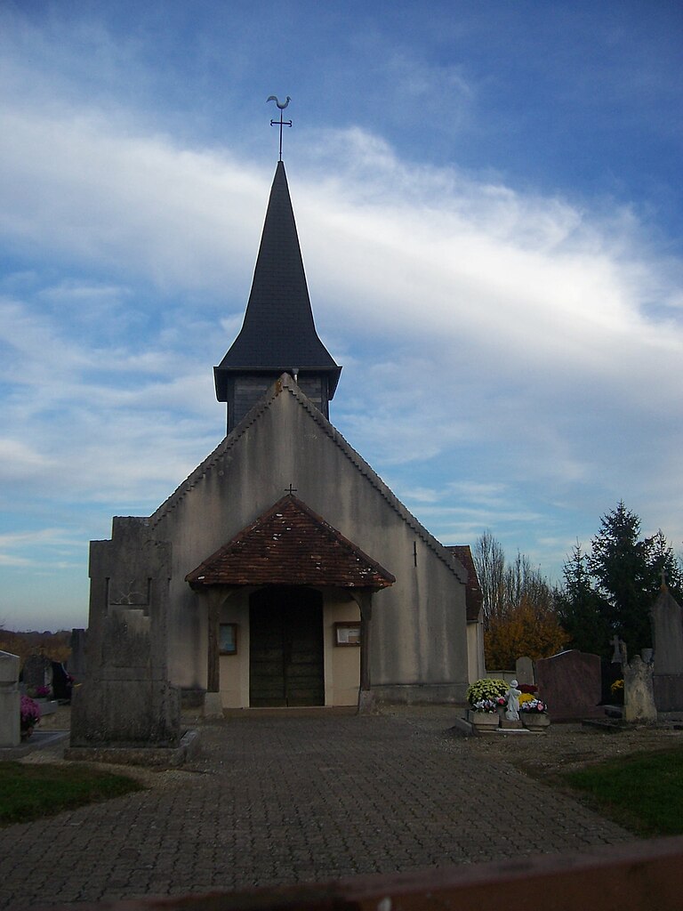
Bruailles (Bruailles)

- commune in Saône-et-Loire, France
- Country:

- Postal Code: 71500
- Coordinates: 46° 35' 45" N, 5° 14' 10" E


- GPS tracks (wikiloc): [Link]
- Area: 22.36 sq km
- Population: 992
- Web site: http://www.communedebruailles.com
- Wikipedia en: wiki(en)
- Wikipedia: wiki(fr)
- Wikidata storage: Wikidata: Q1174413
- Wikipedia Commons Category: [Link]
- Wikipedia Commons Maps Category: [Link]
- Freebase ID: [/m/03qfyqw]
- Freebase ID: [/m/03qfyqw]
- GeoNames ID: Alt: [6450883]
- GeoNames ID: Alt: [6450883]
- SIREN number: [217100643]
- SIREN number: [217100643]
- BnF ID: [152730382]
- BnF ID: [152730382]
- INSEE municipality code: 71064
- INSEE municipality code: 71064
Shares border with regions:


La Chapelle-Naude
- commune in Saône-et-Loire, France
- Country:
- Postal Code: 71500
- Coordinates: 46° 35' 39" N, 5° 11' 30" E
- GPS tracks (wikiloc): [Link]
- Area: 19.06 sq km
- Population: 570


Frontenaud
- commune in Saône-et-Loire, France
- Country:
- Postal Code: 71580
- Coordinates: 46° 33' 8" N, 5° 17' 39" E
- GPS tracks (wikiloc): [Link]
- Area: 15.19 sq km
- Population: 743
- Web site: [Link]

Saint-Martin-du-Mont
- commune in Saône-et-Loire, France
- Country:
- Postal Code: 71580
- Coordinates: 46° 36' 48" N, 5° 17' 39" E
- GPS tracks (wikiloc): [Link]
- Area: 5.26 sq km
- Population: 209
- Web site: [Link]

Sainte-Croix
- commune in Saône-et-Loire, France
- Country:
- Postal Code: 71470
- Coordinates: 46° 34' 18" N, 5° 14' 46" E
- GPS tracks (wikiloc): [Link]
- Area: 20.87 sq km
- Population: 632
- Web site: [Link]

Sagy
- commune in Saône-et-Loire, France
- Country:
- Postal Code: 71580
- Coordinates: 46° 36' 5" N, 5° 18' 32" E
- GPS tracks (wikiloc): [Link]
- Area: 34.21 sq km
- Population: 1245
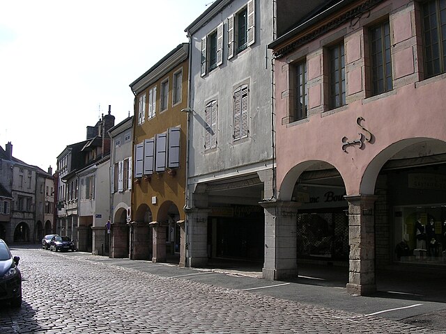

Louhans
- commune in Saône-et-Loire, France
- Country:
- Postal Code: 71500
- Coordinates: 46° 37' 35" N, 5° 13' 29" E
- GPS tracks (wikiloc): [Link]
- AboveSeaLevel: 1.811 м m
- Area: 22.58 sq km
- Population: 6354
- Web site: [Link]