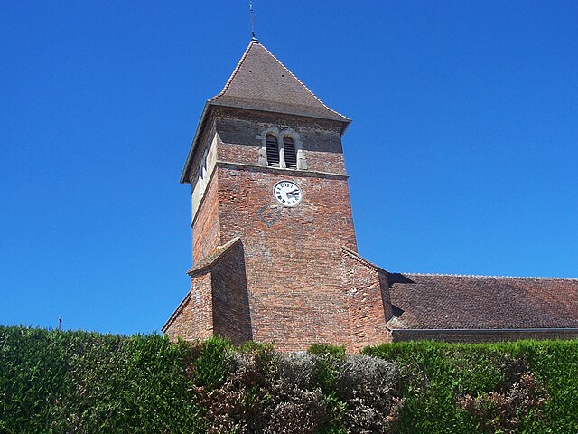
Frontenaud (Frontenaud)

- commune in Saône-et-Loire, France
- Country:

- Postal Code: 71580
- Coordinates: 46° 33' 8" N, 5° 17' 39" E


- GPS tracks (wikiloc): [Link]
- Area: 15.19 sq km
- Population: 743
- Web site: http://www.frontenaud71.gandi-site.net
- Wikipedia en: wiki(en)
- Wikipedia: wiki(fr)
- Wikidata storage: Wikidata: Q1601968
- Wikipedia Commons Category: [Link]
- Wikipedia Commons Maps Category: [Link]
- Freebase ID: [/m/03qg39m]
- Freebase ID: [/m/03qg39m]
- GeoNames ID: Alt: [6442263]
- GeoNames ID: Alt: [6442263]
- SIREN number: [217102094]
- SIREN number: [217102094]
- BnF ID: [15273181g]
- BnF ID: [15273181g]
- INSEE municipality code: 71209
- INSEE municipality code: 71209
Shares border with regions:


Bruailles
- commune in Saône-et-Loire, France
- Country:
- Postal Code: 71500
- Coordinates: 46° 35' 45" N, 5° 14' 10" E
- GPS tracks (wikiloc): [Link]
- Area: 22.36 sq km
- Population: 992
- Web site: [Link]


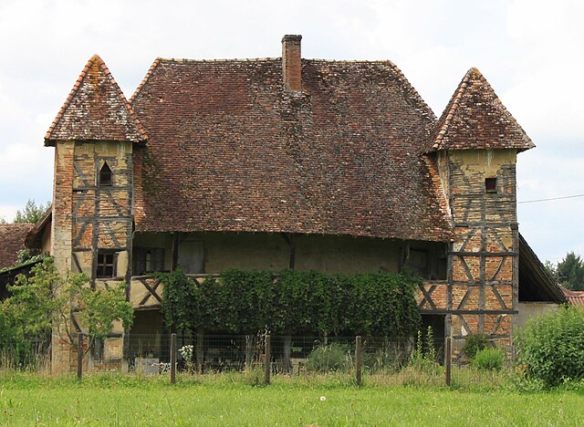
Le Miroir
- commune in Saône-et-Loire, France
 Hiking in Le Miroir
Le Miroir, located in the Saône-et-Loire department in the Burgundy region of France, is a charming area for hiking enthusiasts. The region is characterized by its natural beauty, rolling hills, and serene landscapes, making it an excellent destination for those looking to explore the outdoors....
- Country:
- Postal Code: 71480
- Coordinates: 46° 32' 11" N, 5° 20' 4" E
- GPS tracks (wikiloc): [Link]
- Area: 18.48 sq km
- Population: 588
- Web site: [Link]

Sainte-Croix
- commune in Saône-et-Loire, France
- Country:
- Postal Code: 71470
- Coordinates: 46° 34' 18" N, 5° 14' 46" E
- GPS tracks (wikiloc): [Link]
- Area: 20.87 sq km
- Population: 632
- Web site: [Link]

Sagy
- commune in Saône-et-Loire, France
- Country:
- Postal Code: 71580
- Coordinates: 46° 36' 5" N, 5° 18' 32" E
- GPS tracks (wikiloc): [Link]
- Area: 34.21 sq km
- Population: 1245


Dommartin-lès-Cuiseaux
- commune in Saône-et-Loire, France
Hiking in Dommartin-lès-Cuiseaux
Dommartin-lès-Cuiseaux is a charming commune located in the Bourgogne-Franche-Comté region of France. Surrounding this area is a beautiful natural landscape, making it a great spot for hiking enthusiasts. Here are some highlights and tips for hiking in this region:...
- Country:
- Postal Code: 71480
- Coordinates: 46° 29' 58" N, 5° 17' 56" E
- GPS tracks (wikiloc): [Link]
- Area: 18.86 sq km
- Population: 793
- Web site: [Link]