Brugnato (Brugnato)
- Italian comune
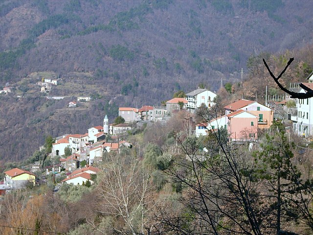
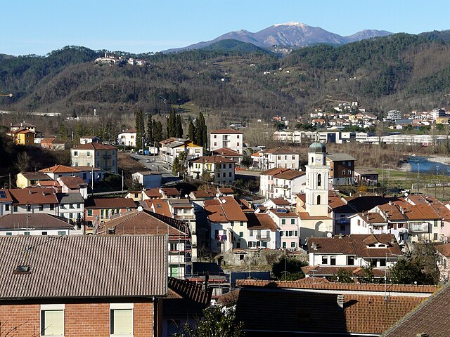
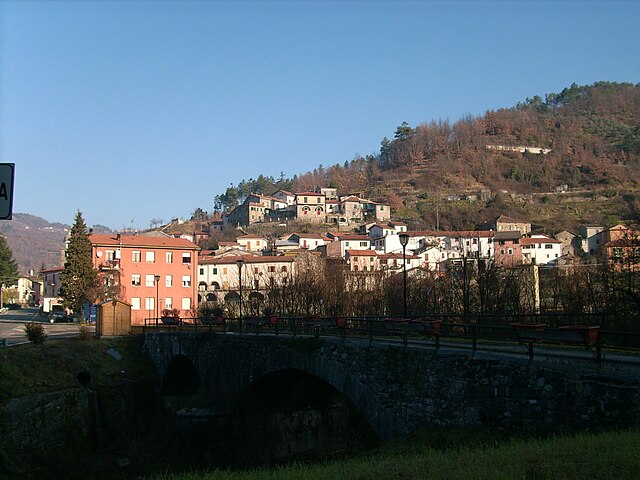
Brugnato, located in the Liguria region of Italy, offers a charming setting for hiking enthusiasts. Nestled in a valley, this small historical village is surrounded by the lush landscape of the Ligurian Apennines. Here are some highlights about hiking in Brugnato:
Trails
-
Sentiero Verde Azzurro: This is one of the most popular hiking trails in the area, connecting the Cinque Terre National Park with the nearby villages. You'll experience stunning coastal views, lush vegetation, and the opportunity to explore quaint villages along the way.
-
Path to the Sanctuary of Nostra Signora di Montemoro: A moderate trek that leads you to a sanctuary, offering panoramic views of the surrounding countryside. It’s a great way to blend spirituality with nature.
-
Local Loop Trails: There are also several local trails that wind through olive groves and vineyards, showcasing the traditional farming practices of the region. These shorter hikes are perfect for a leisurely day.
Scenic Views
The hikes in and around Brugnato provide breathtaking views of the surrounding hills, valleys, and, in the distance, the Ligurian Sea. The region is known for its rugged landscapes and picturesque villages, making it a photographer's paradise.
Wildlife and Flora
Hiking in Brugnato also allows hikers to appreciate the local biodiversity. The area is home to various species of flora and fauna typical of the Mediterranean region. Keep an eye out for local wildlife, including birds and small mammals.
Accessibility
Most trails are accessible from the village and vary in difficulty, making it suitable for both novice hikers and more experienced adventurers. It's advisable to wear sturdy hiking shoes and bring enough water and snacks.
Cultural Experience
As you hike, you'll have the opportunity to experience historic sites and local culture. The village itself has charming streets, local restaurants, and shops offering regional products.
Best Time to Visit
The best seasons for hiking in Brugnato are spring (April to June) and fall (September to October), when the weather is mild and the landscape is vibrant with colors.
Feel free to explore and immerse yourself in the natural beauty and cultural richness of Brugnato while enjoying your hikes!
- Country:

- Postal Code: 19020
- Local Dialing Code: 0187
- Licence Plate Code: SP
- Coordinates: 44° 14' 12" N, 9° 43' 31" E


- GPS tracks (wikiloc): [Link]
- AboveSeaLevel: 115 м m
- Area: 11.9 sq km
- Population: 1309
- Web site: http://www.comune.brugnato.sp.it
- Wikipedia en: wiki(en)
- Wikipedia: wiki(it)
- Wikidata storage: Wikidata: Q270058
- Wikipedia Commons Gallery: [Link]
- Wikipedia Commons Category: [Link]
- Freebase ID: [/m/0ghx66]
- GeoNames ID: Alt: [6536472]
- VIAF ID: Alt: [248288625]
- OSM relation ID: [42972]
- TGN ID: [1043655]
- ISTAT ID: 011007
- Italian cadastre code: B214
Shares border with regions:


Zignago
- Italian comune
Zignago, located in the province of La Spezia in the Liguria region of Italy, is a lesser-known area that offers beautiful landscapes and several hiking opportunities. It is situated near the famous Cinque Terre National Park, making it a great starting point for those looking to explore a more secluded side of the Italian Riviera....
- Country:

- Postal Code: 19020
- Local Dialing Code: 0187
- Licence Plate Code: SP
- Coordinates: 44° 16' 39" N, 9° 44' 41" E


- GPS tracks (wikiloc): [Link]
- AboveSeaLevel: 632 м m
- Area: 28.7 sq km
- Population: 515
- Web site: [Link]


Borghetto di Vara
- Italian comune
Borghetto di Vara is a picturesque village located in the Liguria region of Italy, nestled in the foothills of the Apennines, near the Cinque Terre. It offers stunning landscapes, rich history, and a variety of hiking opportunities for outdoor enthusiasts....
- Country:

- Postal Code: 19020
- Local Dialing Code: 0187
- Licence Plate Code: SP
- Coordinates: 44° 13' 26" N, 9° 43' 17" E


- GPS tracks (wikiloc): [Link]
- AboveSeaLevel: 104 м m
- Area: 27.34 sq km
- Population: 920
- Web site: [Link]


Rocchetta di Vara
- Italian comune
Rocchetta di Vara is a charming village located in the Liguria region of Italy, nestled in the hills of the Val di Vara. This area is known for its picturesque landscapes, lush greenery, and diverse hiking trails that appeal to all levels of hikers....
- Country:

- Postal Code: 19020
- Local Dialing Code: 0187
- Licence Plate Code: SP
- Coordinates: 44° 15' 4" N, 9° 45' 26" E


- GPS tracks (wikiloc): [Link]
- AboveSeaLevel: 220 м m
- Area: 32.66 sq km
- Population: 701
- Web site: [Link]


Sesta Godano
- Italian comune
Sesta Godano is a charming village located in the heart of the Ligurian region of Italy, surrounded by the beautiful landscapes of the Ligurian Apennines. It offers a variety of hiking opportunities for all levels, making it an excellent destination for outdoor enthusiasts....
- Country:

- Postal Code: 19020
- Local Dialing Code: 0187
- Licence Plate Code: SP
- Coordinates: 44° 17' 37" N, 9° 40' 32" E


- GPS tracks (wikiloc): [Link]
- AboveSeaLevel: 242 м m
- Area: 67.78 sq km
- Population: 1339
- Web site: [Link]

