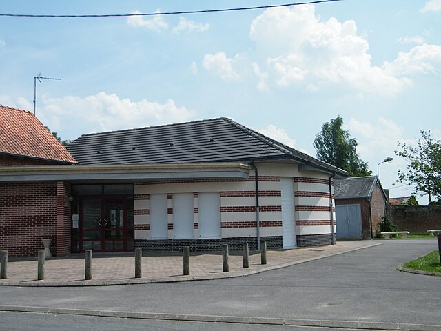
Buire-sur-l'Ancre (Buire-sur-l'Ancre)

- commune in Somme, France
- Country:

- Postal Code: 80300
- Coordinates: 49° 57' 54" N, 2° 35' 32" E


- GPS tracks (wikiloc): [Link]
- Area: 5.28 sq km
- Population: 309
- Web site: http://www.paysducoquelicot.com/buire-sur-ancre.htm
- Wikipedia en: wiki(en)
- Wikipedia: wiki(fr)
- Wikidata storage: Wikidata: Q1090210
- Wikipedia Commons Category: [Link]
- Freebase ID: [/m/03mc944]
- GeoNames ID: Alt: [6444313]
- SIREN number: [218001444]
- BnF ID: [15276635d]
- INSEE municipality code: 80151
Shares border with regions:


Méricourt-l'Abbé
- commune in Somme, France
- Country:
- Postal Code: 80113
- Coordinates: 49° 57' 7" N, 2° 33' 55" E
- GPS tracks (wikiloc): [Link]
- Area: 6.95 sq km
- Population: 593
- Web site: [Link]

Millencourt
- commune in Somme, France
- Country:
- Postal Code: 80300
- Coordinates: 50° 0' 5" N, 2° 35' 11" E
- GPS tracks (wikiloc): [Link]
- Area: 5.79 sq km
- Population: 216
- Web site: [Link]


Ville-sur-Ancre
- commune in Somme, France
- Country:
- Postal Code: 80300
- Coordinates: 49° 57' 44" N, 2° 36' 44" E
- GPS tracks (wikiloc): [Link]
- Area: 5.95 sq km
- Population: 268


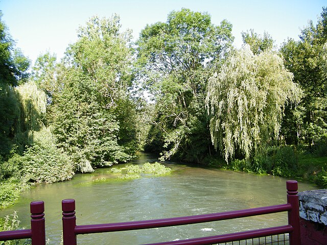
Ribemont-sur-Ancre
- commune in Somme, France
- Country:
- Postal Code: 80800
- Coordinates: 49° 57' 36" N, 2° 33' 56" E
- GPS tracks (wikiloc): [Link]
- AboveSeaLevel: 39 м m
- Area: 9.23 sq km
- Population: 650


Dernancourt
- commune in Somme, France
- Country:
- Postal Code: 80300
- Coordinates: 49° 58' 27" N, 2° 37' 51" E
- GPS tracks (wikiloc): [Link]
- Area: 6.63 sq km
- Population: 504
- Web site: [Link]


Laviéville
- commune in Somme, France
- Country:
- Postal Code: 80300
- Coordinates: 49° 59' 28" N, 2° 34' 33" E
- GPS tracks (wikiloc): [Link]
- Area: 2.15 sq km
- Population: 172
- Web site: [Link]

Treux
- commune in Somme, France
- Country:
- Postal Code: 80300
- Coordinates: 49° 57' 28" N, 2° 35' 29" E
- GPS tracks (wikiloc): [Link]
- Area: 2.24 sq km
- Population: 249