
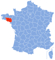
Côtes-d'Armor (Côtes-d'Armor)


- French department
- Country:

- Capital: Saint-Brieuc
- Coordinates: 48° 20' 0" N, 2° 50' 0" E


- GPS tracks (wikiloc): [Link]
- Area: 6878 sq km
- Population: 598357
- Web site: http://www.cotesdarmor.fr/
- Wikipedia en: wiki(en)
- Wikipedia: wiki(fr)
- Wikidata storage: Wikidata: Q3349
- Wikipedia Commons Gallery: [Link]
- Wikipedia Commons Category: [Link]
- Wikipedia Commons Maps Category: [Link]
- Freebase ID: [/m/0mhzr]
- GeoNames ID: Alt: [3023414]
- SIREN number: [222200016]
- BnF ID: [11884260q]
- VIAF ID: Alt: [172192982]
- OSM relation ID: [7398]
- GND ID: Alt: [4085346-9]
- archINFORM location ID: [52]
- Library of Congress authority ID: Alt: [nr91026804]
- PACTOLS thesaurus ID: [pcrt242bas6qFQ]
- MusicBrainz area ID: [e97de4ef-2be4-4114-964a-f27a2046e8e0]
- TGN ID: [7002927]
- SUDOC authorities ID: [026632403]
- Encyclopædia Britannica Online ID: [place/Cotes-dArmor]
- Gran Enciclopèdia Catalana ID: [0020338]
- Twitter username: Alt: [cotesdarmor22]
- data.gouv.fr org ID: [departement-des-cotes-darmor]
- National Library of Israel ID: [000971936]
- NUTS code: [FR521]
- INSEE department code: [22]
- ISO 3166-2 code: FR-22
Includes regions:

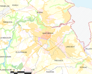
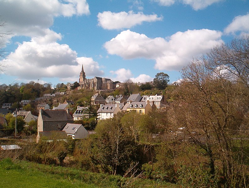
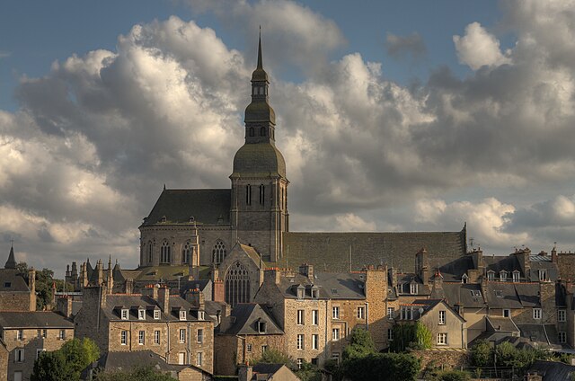
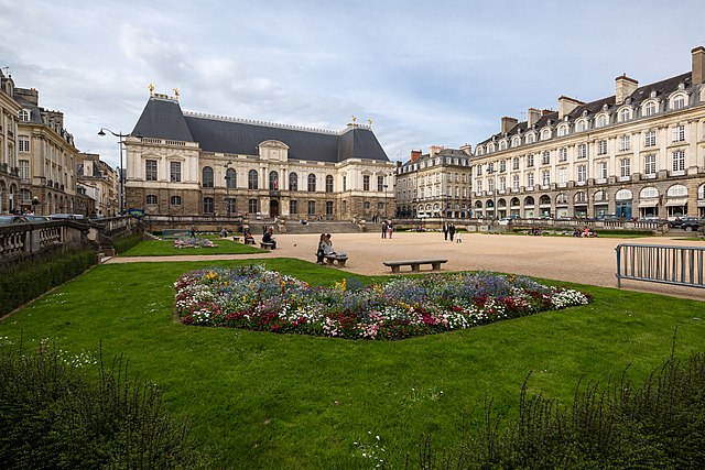
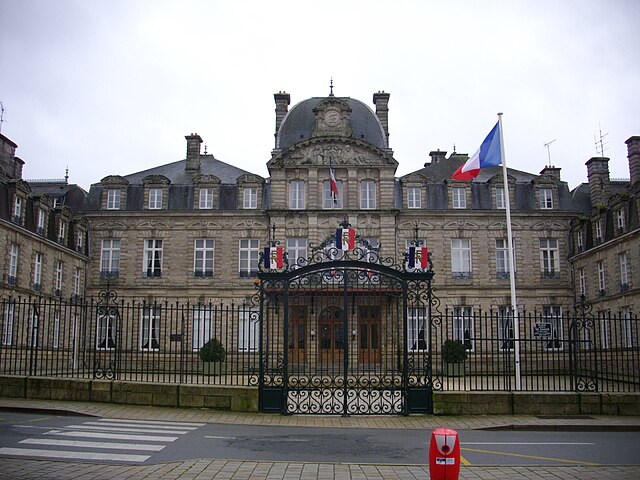
Saint-Brieuc
- commune in Côtes-d'Armor, France
- Country:
- Postal Code: 22000
- Coordinates: 48° 30' 54" N, 2° 46' 6" E
- GPS tracks (wikiloc): [Link]
- AboveSeaLevel: 134 м m
- Area: 21.88 sq km
- Population: 45105
- Web site: [Link]

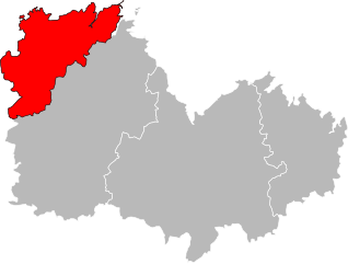
arrondissement of Lannion
- arrondissement of France
- Country:
- Capital: Lannion
- Coordinates: 48° 45' 0" N, 3° 25' 0" E
- GPS tracks (wikiloc): [Link]
- Area: 904 sq km
- Population: 100135

arrondissement of Saint-Brieuc
- arrondissement of France
- Country:
- Capital: Saint-Brieuc
- Coordinates: 48° 25' 0" N, 2° 50' 0" E
- GPS tracks (wikiloc): [Link]
- Area: 2252 sq km
- Population: 270503

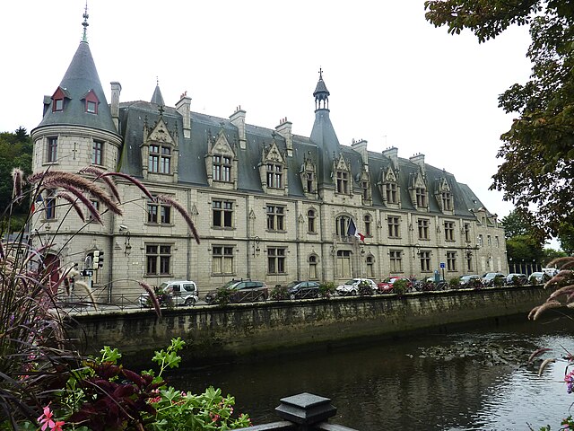
arrondissement of Dinan
- arrondissement of France
- Country:
- Capital: Dinan
- Coordinates: 48° 25' 0" N, 2° 15' 0" E
- GPS tracks (wikiloc): [Link]
- Area: 1758.92 sq km
- Population: 102000


arrondissement of Guingamp
- arrondissement of France
- Country:
- Capital: Guingamp
- Coordinates: 48° 25' 0" N, 3° 20' 0" E
- GPS tracks (wikiloc): [Link]
- Population: 125719
Shares border with regions:

Ille-et-Vilaine
- French department
- Country:
- Capital: Rennes
- Coordinates: 48° 10' 0" N, 1° 40' 0" E
- GPS tracks (wikiloc): [Link]
- Area: 6775 sq km
- Population: 1042884
- Web site: [Link]
Morbihan
- French department
- Country:
- Capital: Vannes
- Coordinates: 47° 50' 0" N, 2° 50' 0" E
- GPS tracks (wikiloc): [Link]
- Area: 6823 sq km
- Population: 744813
- Web site: [Link]

Finistère
- French department
- Country:
- Capital: Quimper
- Coordinates: 48° 15' 0" N, 4° 0' 0" E
- GPS tracks (wikiloc): [Link]
- Area: 6733 sq km
- Population: 907796
- Web site: [Link]