
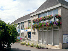
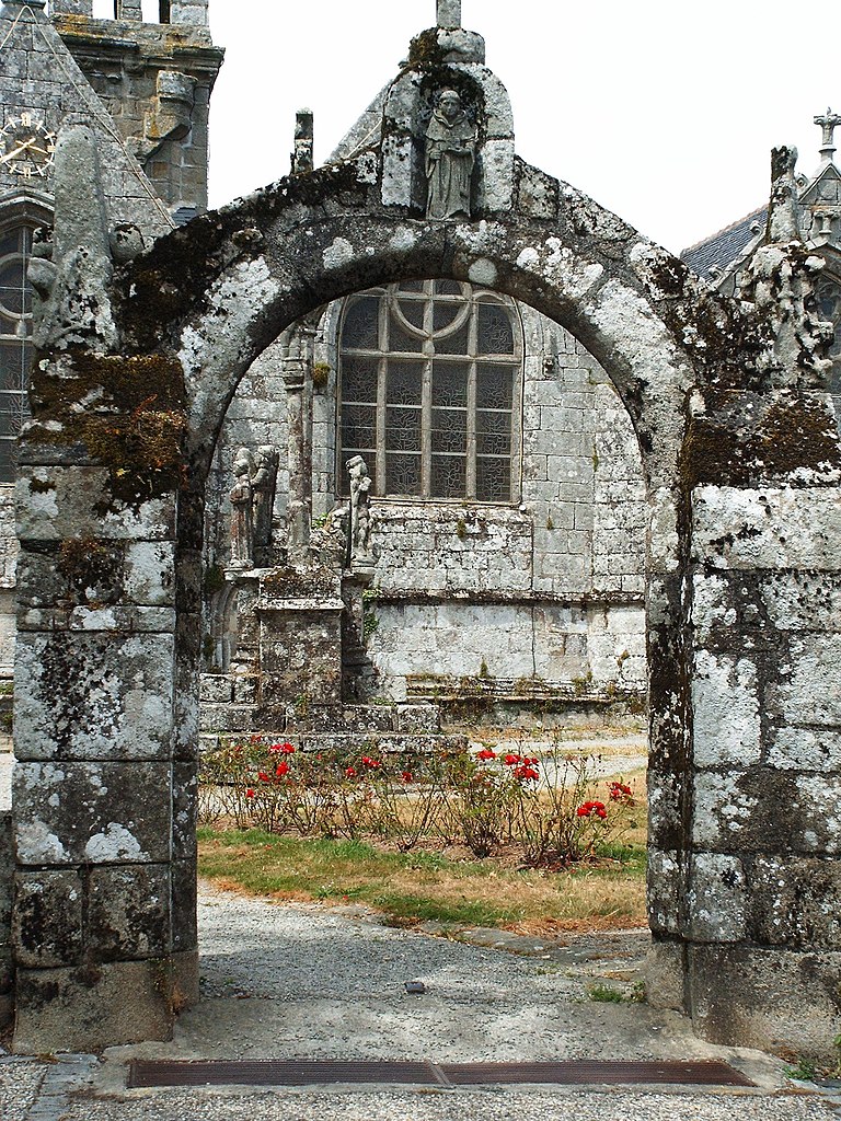
Quimper (Quimper)

- commune in Finistère, France
- Country:

- Postal Code: 29000
- Coordinates: 47° 59' 45" N, 4° 5' 52" E


- GPS tracks (wikiloc): [Link]
- AboveSeaLevel: 6 м m
- Area: 84.45 sq km
- Population: 63508
- Web site: http://www.quimper.bzh
- Wikipedia en: wiki(en)
- Wikipedia: wiki(fr)
- Wikidata storage: Wikidata: Q342
- Wikipedia Commons Gallery: [Link]
- Wikipedia Commons Category: [Link]
- Wikipedia Commons Maps Category: [Link]
- Freebase ID: [/m/01qhhz]
- Freebase ID: [/m/01qhhz]
- Freebase ID: [/m/01qhhz]
- Freebase ID: [/m/01qhhz]
- GeoNames ID: Alt: [2984701]
- GeoNames ID: Alt: [2984701]
- GeoNames ID: Alt: [2984701]
- GeoNames ID: Alt: [2984701]
- SIREN number: [212902324]
- SIREN number: [212902324]
- SIREN number: [212902324]
- SIREN number: [212902324]
- BnF ID: [152545744]
- BnF ID: [152545744]
- BnF ID: [152545744]
- BnF ID: [152545744]
- VIAF ID: Alt: [139010996]
- VIAF ID: Alt: [139010996]
- VIAF ID: Alt: [139010996]
- VIAF ID: Alt: [139010996]
- GND ID: Alt: [4048082-3]
- GND ID: Alt: [4048082-3]
- GND ID: Alt: [4048082-3]
- GND ID: Alt: [4048082-3]
- archINFORM location ID: [565]
- archINFORM location ID: [565]
- archINFORM location ID: [565]
- archINFORM location ID: [565]
- Library of Congress authority ID: Alt: [n80080484]
- Library of Congress authority ID: Alt: [n80080484]
- Library of Congress authority ID: Alt: [n80080484]
- Library of Congress authority ID: Alt: [n80080484]
- PACTOLS thesaurus ID: [pcrtyLWJHM4E7n]
- PACTOLS thesaurus ID: [pcrtyLWJHM4E7n]
- PACTOLS thesaurus ID: [pcrtyLWJHM4E7n]
- PACTOLS thesaurus ID: [pcrtyLWJHM4E7n]
- MusicBrainz area ID: [995e5763-b3f4-4f9c-b9e5-5b66fa160c8f]
- MusicBrainz area ID: [995e5763-b3f4-4f9c-b9e5-5b66fa160c8f]
- MusicBrainz area ID: [995e5763-b3f4-4f9c-b9e5-5b66fa160c8f]
- MusicBrainz area ID: [995e5763-b3f4-4f9c-b9e5-5b66fa160c8f]
- Quora topic ID: [Quimper-1]
- Quora topic ID: [Quimper-1]
- Quora topic ID: [Quimper-1]
- Quora topic ID: [Quimper-1]
- SUDOC authorities ID: [026554364]
- SUDOC authorities ID: [026554364]
- SUDOC authorities ID: [026554364]
- SUDOC authorities ID: [026554364]
- Encyclopædia Britannica Online ID: [place/Quimper]
- Encyclopædia Britannica Online ID: [place/Quimper]
- Encyclopædia Britannica Online ID: [place/Quimper]
- Encyclopædia Britannica Online ID: [place/Quimper]
- Encyclopædia Universalis ID: [quimper]
- Encyclopædia Universalis ID: [quimper]
- Encyclopædia Universalis ID: [quimper]
- Encyclopædia Universalis ID: [quimper]
- Facebook Places ID: [109553982403835]
- Facebook Places ID: [109553982403835]
- Facebook Places ID: [109553982403835]
- Facebook Places ID: [109553982403835]
- Twitter username: Alt: [VilledeQuimper]
- Twitter username: Alt: [VilledeQuimper]
- Twitter username: Alt: [VilledeQuimper]
- Twitter username: Alt: [VilledeQuimper]
- Brockhaus Enzyklopädie online ID: [quimper]
- Brockhaus Enzyklopädie online ID: [quimper]
- Brockhaus Enzyklopädie online ID: [quimper]
- Brockhaus Enzyklopädie online ID: [quimper]
- INSEE municipality code: 29232
- INSEE municipality code: 29232
- INSEE municipality code: 29232
- INSEE municipality code: 29232
Shares border with regions:


Landrévarzec
- commune in Finistère, France
- Country:
- Postal Code: 29510
- Coordinates: 48° 5' 22" N, 4° 3' 38" E
- GPS tracks (wikiloc): [Link]
- Area: 20.32 sq km
- Population: 1827
- Web site: [Link]


Pleuven
- commune in Finistère, France
- Country:
- Postal Code: 29170
- Coordinates: 47° 54' 22" N, 4° 2' 36" E
- GPS tracks (wikiloc): [Link]
- Area: 13.69 sq km
- Population: 2797
- Web site: [Link]


Plomelin
- commune in Finistère, France
- Country:
- Postal Code: 29700
- Coordinates: 47° 56' 8" N, 4° 9' 11" E
- GPS tracks (wikiloc): [Link]
- Area: 26.08 sq km
- Population: 4202
- Web site: [Link]

Briec
- commune in Finistère, France
- Country:
- Postal Code: 29510
- Coordinates: 48° 6' 6" N, 3° 59' 54" E
- GPS tracks (wikiloc): [Link]
- Area: 67.87 sq km
- Population: 5625
- Web site: [Link]

Guengat
- commune in Finistère, France
- Country:
- Postal Code: 29180
- Coordinates: 48° 2' 31" N, 4° 12' 17" E
- GPS tracks (wikiloc): [Link]
- Area: 22.72 sq km
- Population: 1755
- Web site: [Link]


Plogonnec
- commune in Finistère, France
- Country:
- Postal Code: 29180
- Coordinates: 48° 4' 40" N, 4° 11' 40" E
- GPS tracks (wikiloc): [Link]
- Area: 54.14 sq km
- Population: 3126
- Web site: [Link]


Plonéis
- commune in Finistère, France
- Country:
- Postal Code: 29710
- Coordinates: 48° 1' 1" N, 4° 12' 38" E
- GPS tracks (wikiloc): [Link]
- Area: 21.99 sq km
- Population: 2307
- Web site: [Link]


Saint-Évarzec
- commune in Finistère, France
- Country:
- Postal Code: 29170
- Coordinates: 47° 56' 13" N, 4° 1' 13" E
- GPS tracks (wikiloc): [Link]
- Area: 24.65 sq km
- Population: 3532
- Web site: [Link]

Pluguffan
- commune in Finistère, Brittany, France
- Country:
- Postal Code: 29700
- Coordinates: 47° 58' 51" N, 4° 10' 44" E
- GPS tracks (wikiloc): [Link]
- Area: 32.09 sq km
- Population: 4005
- Web site: [Link]