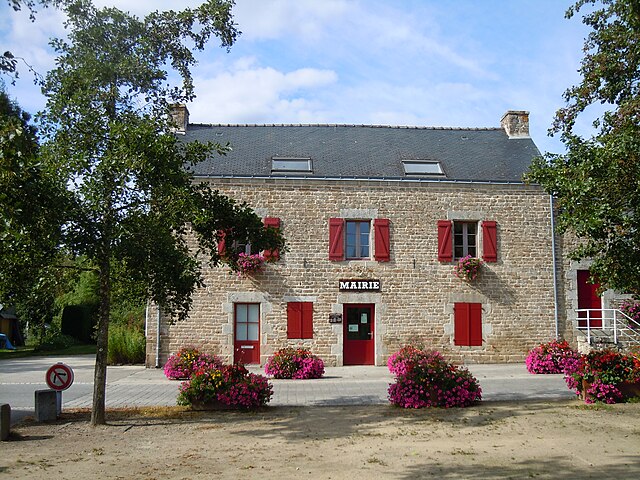
Calan (Calan)

- commune in Morbihan, France
- Country:

- Postal Code: 56240
- Coordinates: 47° 52' 33" N, 3° 19' 19" E


- GPS tracks (wikiloc): [Link]
- Area: 12.29 sq km
- Population: 1152
- Wikipedia en: wiki(en)
- Wikipedia: wiki(fr)
- Wikidata storage: Wikidata: Q71666
- Wikipedia Commons Category: [Link]
- Freebase ID: [/m/0h3rwy]
- GeoNames ID: Alt: [6449837]
- SIREN number: [215600297]
- BnF ID: [15265279g]
- INSEE municipality code: 56029
Shares border with regions:


Plouay
- commune in Morbihan, France
- Country:
- Postal Code: 56240
- Coordinates: 47° 54' 52" N, 3° 20' 2" E
- GPS tracks (wikiloc): [Link]
- AboveSeaLevel: 83 м m
- Area: 67.33 sq km
- Population: 5529
- Web site: [Link]

Lanvaudan
- commune in Morbihan, France
- Country:
- Postal Code: 56240
- Coordinates: 47° 53' 58" N, 3° 15' 42" E
- GPS tracks (wikiloc): [Link]
- Area: 18.3 sq km
- Population: 792
- Web site: [Link]


Inzinzac-Lochrist
- commune in Morbihan, France
- Country:
- Postal Code: 56650
- Coordinates: 47° 50' 37" N, 3° 16' 1" E
- GPS tracks (wikiloc): [Link]
- Area: 44.67 sq km
- Population: 6471
- Web site: [Link]


Cléguer
- commune in Morbihan, France
- Country:
- Postal Code: 56620
- Coordinates: 47° 51' 15" N, 3° 23' 2" E
- GPS tracks (wikiloc): [Link]
- AboveSeaLevel: 50 м m
- Area: 32.15 sq km
- Population: 3330